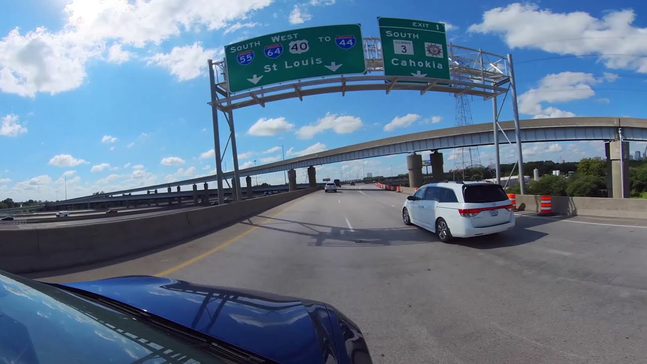
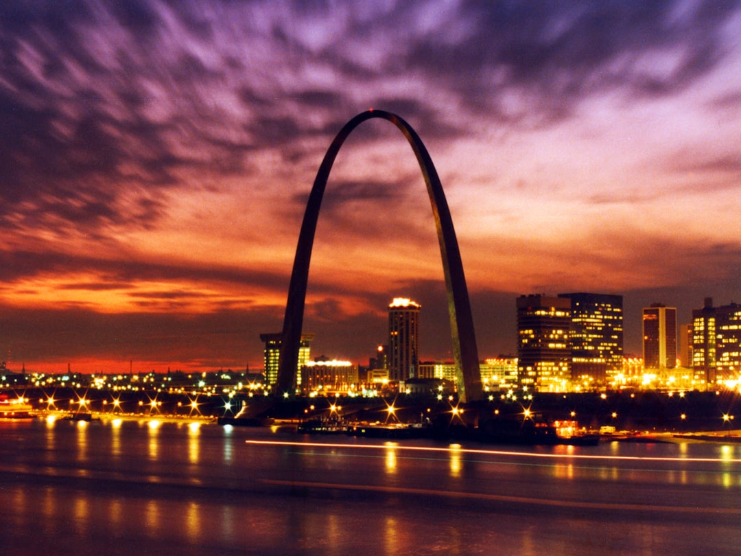
Every cross-country driver eventually has to deal with St. Louis. You can skirt it on the outer ring, sure, but if your route puts you anywhere near the middle of the country, odds are you’ll thread the needle where the Mississippi bends west and the Gateway Arch rises out of the riverfront like a silver fin. That moment — when the Illinois bluffs drop away, the bridge deck hums beneath your tires, and the Arch slides into frame off your left shoulder — is one of the great free sights in American driving. No ticket, no parking, no crowd. Just you, six hundred feet of stainless steel, and a river that has carried everything from fur traders to grain barges through this exact spot.
I’ve crossed the country on I-70 more times than I can count, and I still take my foot off the gas every time that skyline shows up. What surprised me, on a recent September pass-through, was how much I’d been missing by treating the city as a gap between two interstates. Twenty-two minutes of actual attention changed that. Here’s what the drive through St. Louis actually shows you, from the Illinois side of the river to the point where I-44 shakes hands with the Ozarks.
The Bridge Moment: Crossing the Mississippi on I-70
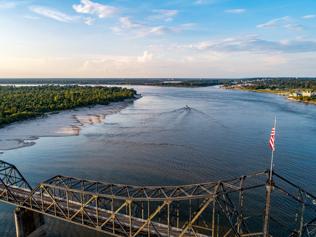
The Stan Musial Bridge — that’s the graceful cable-stayed span that carries I-70 traffic today — does something older river crossings never managed: it gives you room to look. From the Illinois approach you get a long, building anticipation, the St. Louis skyline stacked against the western sky, and then you’re over the water itself, wide and brown and deceptively calm, towboats pushing barges downstream like patient insects.
The Mississippi at St. Louis isn’t the muddy creek it becomes further south. This is the working river, the junction where the Missouri River has already added its load a few miles upstream, and the scale of it registers even at highway speed. Bridges have defined this city since Eads built his steel arch bridge here in 1874, and driving across you understand why. St. Louis exists because of this crossing. Every road trip route that stitches the country together east to west, including the Mother Road itself, funnels through or around this river. The Route 66 centennial celebrations have only sharpened that point — this stretch of Missouri is where the Mother Road officially begins its run west.
Pro tip from someone who learned the hard way: the left lane as you crest the bridge gives you the Arch view, but the right lane gives you the exit for the Arch parking. Decide before you’re on the bridge, because Missouri drivers do not reward hesitation.
Reading the Skyline: What You’re Actually Looking At
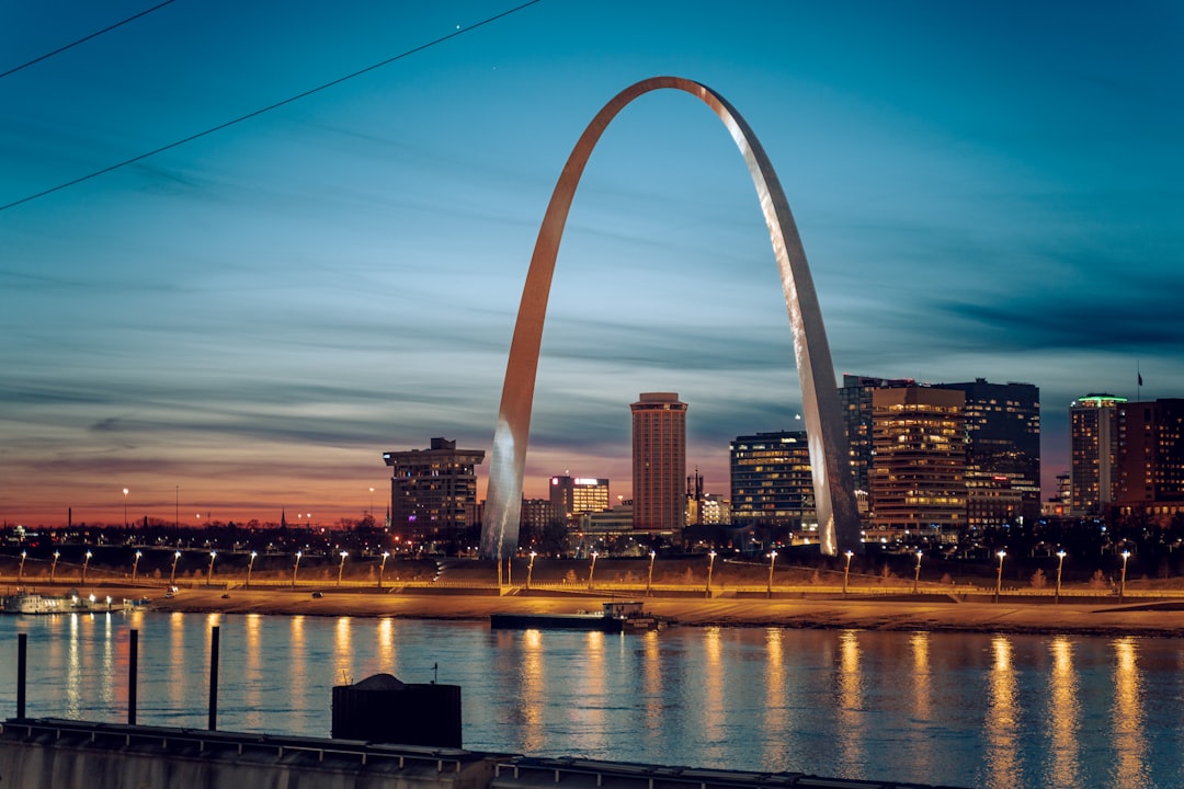
Once you’re across, the view compresses. The Arch sits in its park directly south of the I-70 corridor, and downtown rises behind it — the old courthouse dome, the boatneck curve of Busch Stadium if you know where to look, the Civil Courts building with its lantern top doing its best Art Deco Sphinx impression. It goes by fast. This is the part of the drive where most people’s eyes glaze over and the passenger seat starts scrolling a phone.
But the skyline rewards a second look, because St. Louis is one of the few American cities whose tallest feature is a curve rather than a corner. The Arch was built as a monument to westward expansion, and from the driver’s seat it does exactly what it was designed to do in 1965: it points. Everything about the city’s geometry funnels you toward it and then past it, southwest, toward the old frontier. If you want to decode the rest of what you’re seeing — which buildings matter, which neighborhoods hide the good food — a solid guidebook earns its trunk space. I keep a copy of the St. Louis Essential Travel Guide in the glovebox, and 100 Things to Do in St. Louis Before You Die has quietly turned more than one lunch stop into a half-day detour.
Downtown Pass-Through: The Working Heart of the City
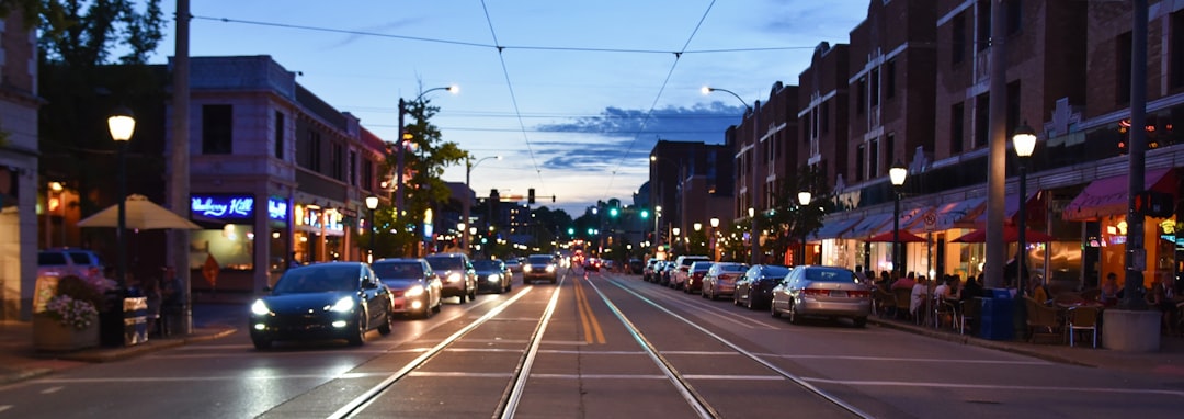
I-70 through downtown is unglamorous — concrete walls, older interchanges, the clatter of a depressed highway section that engineers have debated burying or capping for decades. But glance up at the right moments and the city shows itself: brick warehouses with painted ghost signs, the dome of the Old Cathedral near the Arch grounds, the sudden green of Citygarden two blocks south. St. Louis is a city of brick, and downtown holds some of the oldest of it.
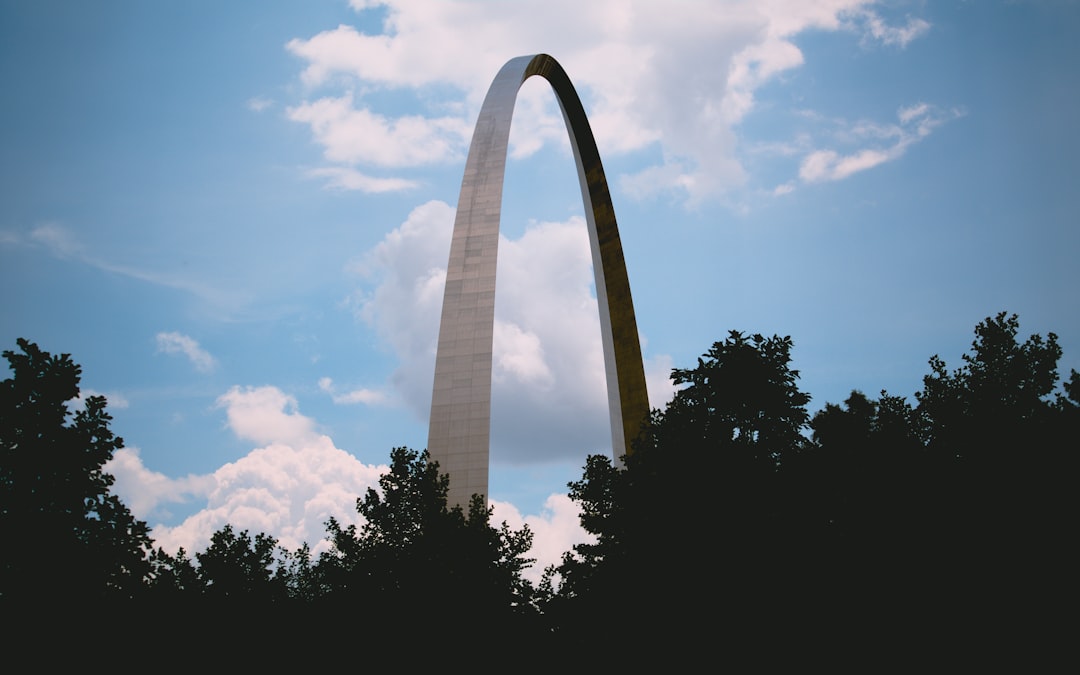
The honest advice? If your schedule allows even ninety minutes, exit at Memorial Drive and walk to the Arch itself. Standing under it, looking straight up, the 630-foot curve plays tricks on your inner ear in a way no windshield view replicates. But if the schedule is tight and the drive must go on, the pass-through still delivers. You are moving through a living cross-section of American urban history at 55 miles an hour.
Why I-44 Is the Most Underrated Exit From Any Major City
Here’s the stretch nobody plans for and everybody remembers. Where I-70 splits toward Kansas City and I-55 drops south to New Orleans, I-44 heads southwest — and it does so along the exact alignment of historic Route 66. This is not coincidence; it’s succession. The interstate swallowed the Mother Road through here whole, and for the next hour you’re driving on top of 100 years of American road-trip DNA.
The transition is subtle but real. The city thins. Brick gives way to billboards, then to trees. Traffic relaxes. Somewhere around the I-270 split, where the ring road peels off, you realize the horizon has gone green and rolling — the leading edge of the Missouri Ozarks, the same uplift that creates all those float-trip rivers and cave systems further down the road. People plan entire vacations around driving Route 66 end to end, and you’ve just accidentally joined it in its second act. My dashboard atlas — the Rand McNally Large Scale Road Atlas, scuffed from a decade of center-console duty — has a crease worn exactly into this page.
Seeing All of It: A Full 360 of the Gateway City
The trouble with driving your own car is that you only get one view. A few years back I started mounting a 360-degree camera to the dash for drives like this one, and it changed how I re-experience them. On a clear September pass-through, the camera caught everything my eyes couldn’t hold at once — the Illinois approach on one side, the Arch on the other, the river sliding underneath, and the whole southwest panorama as I-44 pulled away from town. Drag the view around and you can watch the skyline recede in your mirrors while the Ozarks open ahead:
If you want to try this yourself, the gear barrier is lower than it used to be. The Insta360 One X2 that shot that drive has since been succeeded by the Insta360 X3, with the ONE RS 1-Inch 360 with its Leica lens sitting at the top of the line for low-light city work. Pair any of them with the selfie stick with the built-in tripod and you’ve got a dash mount and a selfie rig in one. The re-watch value is real — I notice buildings, signs, and river details on playback that I flat-out missed at speed.
Where the City Ends and the Ozarks Begin
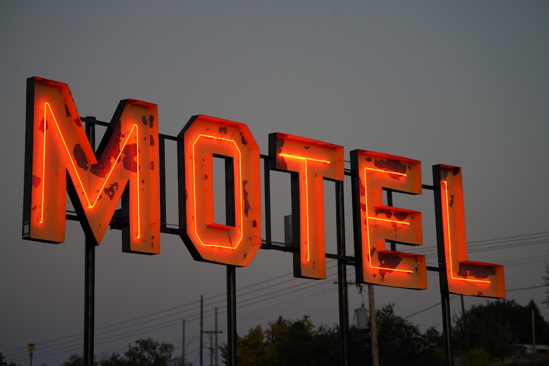
Past the I-270 split, I-44 settles into its long southwest rhythm. This is Missouri at highway pace: oak-hickory forest in rolling folds, limestone cuts exposing 400-million-year-old seabeds, weekend motorcycle traffic leaning through the curves toward Eureka and Pacific. Historic Route 66 towns string along the corridor like beads — Cuba with its murals, Sullivan, Rolla — each with diners and motel signs that predate the interstate by a generation.
Fall is the ceiling-breaker here. By mid-October the bluffs above the Meramec and Gasconade rivers ignite in color, and the overlooks — yes, actual legal pull-offs where you can park and stare — fill with people who drove out from the city just to watch the valley burn gold. Pack accordingly: a 16-quart road trip cooler stocked in St. Louis turns any of these pull-offs into lunch with a view, and the farmers markets along the corridor in September mean the cooler fills itself with peaches and sweet corn if you time it right.

And if this stretch hooks you the way it hooks most people, the planning rabbit hole goes deep. My full Route 66 road kit breakdown covers what’s actually worth carrying for the run from here to Santa Monica.
Driver’s Notes: Timing, Traffic, and Taking the Long Way
Some practical field notes from repeated crossings. Morning sun sits in your eyes westbound — the Arch is a morning silhouette, an afternoon gleam. Rush hour in the I-70 downtown trench runs roughly 7–9 a.m. and 4–6:30 p.m.; midday passes cleanly. Construction moves around year to year, but the interchanges where I-70, I-44, I-55, and I-64 all converge downtown stay confusing no matter what the signage claims. A magnetic phone mount with real suction has saved me from missed exits more times than I’ll admit, because the lane you need for I-44 arrives roughly 1.5 seconds after the sign does.
One more thing worth saying for anyone doing this solo: the stretch of I-44 between St. Louis and Rolla is beautiful but lightly serviced in spots. Cell coverage dips in the river valleys, gas gets sparse, and dusk brings deer. A roadside emergency kit in the trunk costs less than one tow-truck call, and the general habits in this solo cross-country safety guide apply to every driver, not just solo ones. Fill up before you leave the metro area and you’ll never think about it again.
The Last Look Back
My favorite moment of the whole drive arrives about fifteen miles southwest of downtown, somewhere past the split, where a gentle rise in I-44 offers one final glance in the rearview. On a clear evening the Arch catches the sunset and throws it back as a thin line of orange fire against the darkening city — visible, honestly, for only a few miles before the road bends and the hills close the curtain.
That’s the thing about driving through St. Louis rather than around it. The city has always been a hinge — east to west, river to road, past to whatever comes next. You can cross it in twenty minutes without lifting your eyes. Or you can cross it the way it was meant to be crossed: watching the river slide under the bridge, letting the skyline decode itself, and following the silver curve of the Arch straight onto the Mother Road’s front porch.
Roll the windows down somewhere past Eureka. The air smells like oak and river. You’re not driving through St. Louis anymore — you’re driving out of it, which is a completely different experience, and the beginning of every good road story that starts with “we headed southwest.”
1 thought on “The Arch Appears: A Windshield Tour From the I-70 Bridge to Route 66 Country”