
There is a moment, about halfway across the causeway to Cana Island, when you look down and realize the path under your feet has quietly disappeared. One step you’re on limestone gravel; the next you’re standing in Lake Michigan, water sloshing around your ankles, with an 1869 lighthouse dead ahead and a tractor rumbling past hauling drier travelers in a wagon. Door County has no shortage of postcard views, but this is the only one that asks you to get your feet wet before it lets you in.
Cana Island Lighthouse sits on a nine-acre island just north of Baileys Harbor, technically separated from the Door County mainland by a shallow channel that fills and drains with the mood of the lake. It is one of the most photographed lighthouses in Wisconsin, and the photos almost never show the best part: the small adventure required to reach it.
A Causeway That Plays By Lake Michigan’s Rules
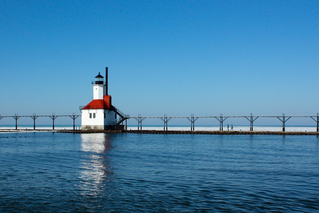
The crossing works like this: a natural causeway of rock and gravel connects the island to the parking area, and for most of the visitor season the water over it is somewhere between ankle- and knee-deep. “Most of the season” is doing a lot of work in that sentence. Lake Michigan doesn’t have tides worth mentioning, but it does have seiche — wind-driven shifts that push water from one end of the lake to the other — and it has long-term water level cycles that can turn a puddle-hop into a genuine wade. Locals will tell you the crossing depth changes week to week. Believe them.
If wading sounds like a dealbreaker, there’s a concession that runs a tractor-drawn wagon across the channel, hayride-style, for a small fee. It’s a charming throwback in its own right, and on chilly October mornings when the water temperature makes your calves file a formal complaint, the wagon starts looking less like a shortcut and more like a survival strategy. No private vehicles are allowed past the causeway, so those two options — walk or ride — are the whole menu.
Access is managed with wristbands checked partway across, which sounds bureaucratic until you understand the island is a genuine historic site operated by the Door County Maritime Museum. The wristband is your ticket to the grounds, the keeper’s home, and — when the tower is open — the climb itself.
What Wading Across Actually Feels Like
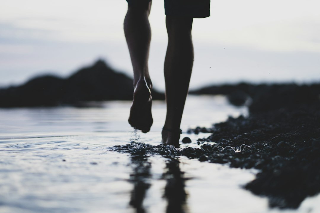
Here’s the honest description: the bottom is a mix of rounded rock, gravel, and a layer of mud that has been described, charitably, as “squishy.” The water is clear enough to watch your steps, cold enough to be bracing well into summer, and shallow enough that children cross it at a full sprint while adults pick their way through giggling. You will see people carrying shoes over their heads, people in flip-flops regretting their choices, and people who simply committed to the bit and crossed barefoot.
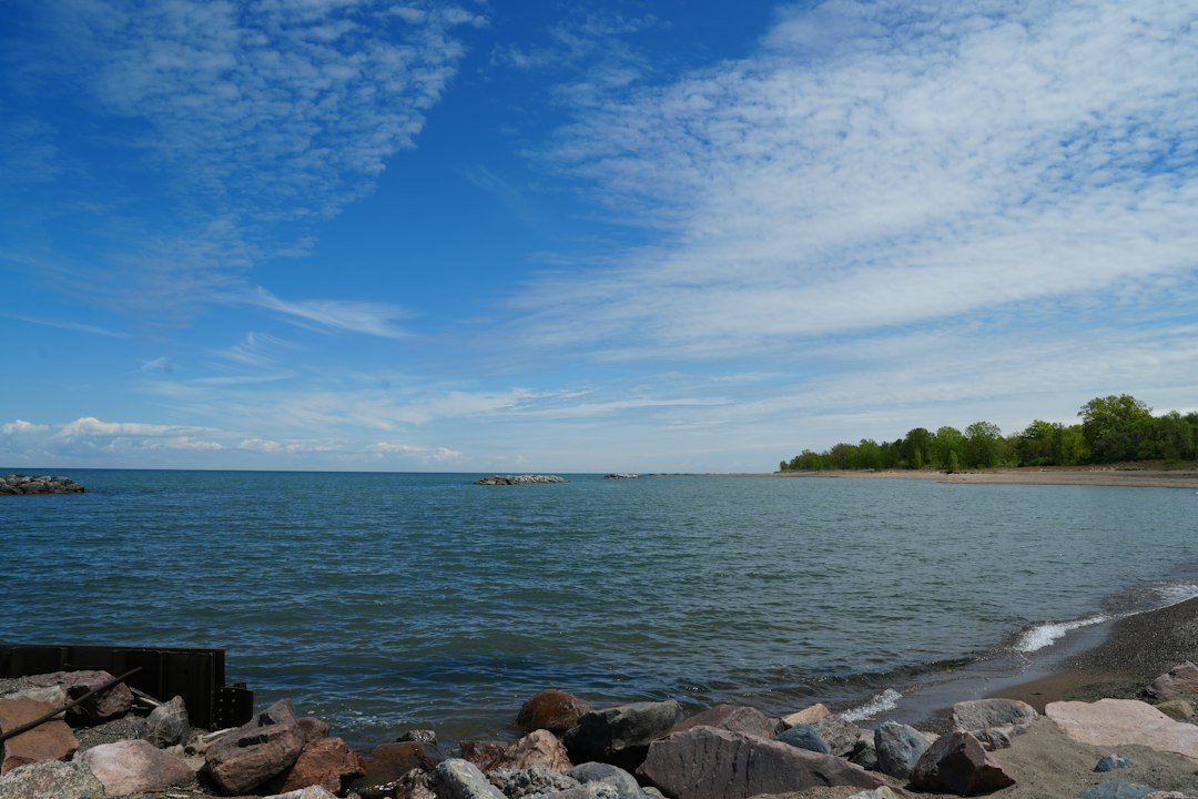
A pair of quick-dry water shoes solves the entire equation for about the cost of a pizza. The rocky sections are pleasant enough underfoot, but the mud pockets have a way of finding the one thin spot in your sandal strap. If you’re carrying a phone for photos — and you will want to, because the view back toward the mainland with the lighthouse behind you is the shot of the day — a small waterproof dry bag buys peace of mind for pennies. I’ve watched a phone take an unplanned swim on this crossing, and the recovery operation was considerably less dignified than the wading.
Once you’re across, the island opens up into a quiet world of its own: gravel paths through cedars, the white tower rising over everything, and a shoreline of broken limestone that looks almost tropical when the water goes turquoise on a calm day. Wildlife is low-key but present — gulls argue over the rocks, herons stalk the shallows, and on our visit a rabbit watched us from the grass like we were the ones trespassing.
The crossing is short — a few minutes of walking — but it resets your whole pace. Nobody sprints an island like this. You arrive already slowed down, feet damp, guard down, which is exactly the right condition for soaking up what the island actually is.
The Tower That Put Itself on the Map in 1869
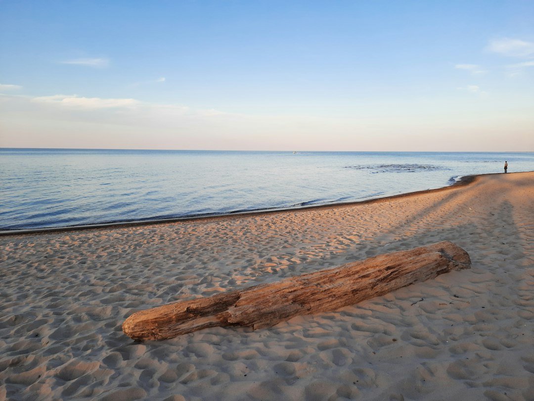
Cana Island’s lighthouse was built in 1869 at a cost of $12,792.55 — a number precise enough that somebody in the Treasury clearly cared. The tower was constructed of cream city brick, the pale Milwaukee-made stuff that built half of Wisconsin’s civic architecture in that era, and at 89 feet it was the tallest structure in Door County at the time. In its first year of operation, telescope-verified counts logged 4,862 ships passing the station in daylight hours alone. This was working infrastructure, not scenery.
The light guided traffic between the ports of Green Bay and Lake Michigan’s open water for decades, and the station’s story accumulated the usual cast: keepers and their families hauling oil up the stairs, fog signals added as shipping traffic grew, automation eventually replacing the humans who made the place breathe. Today the keeper’s home and the oil house are preserved as museum spaces, and the Door County Maritime Museum runs the site with a mix of staff and volunteers who can talk about the station’s history in genuinely entertaining detail.
The island has even picked up a literary footnote: a cozy mystery novel called Game of Scones: The Cana Island Lighthouse Mystery is set right here. It’s exactly the kind of thing that ends up in a beach bag for the ferry ride home, and honestly, the setting earns it.
Climbing the 97 Steps to the Gallery Deck
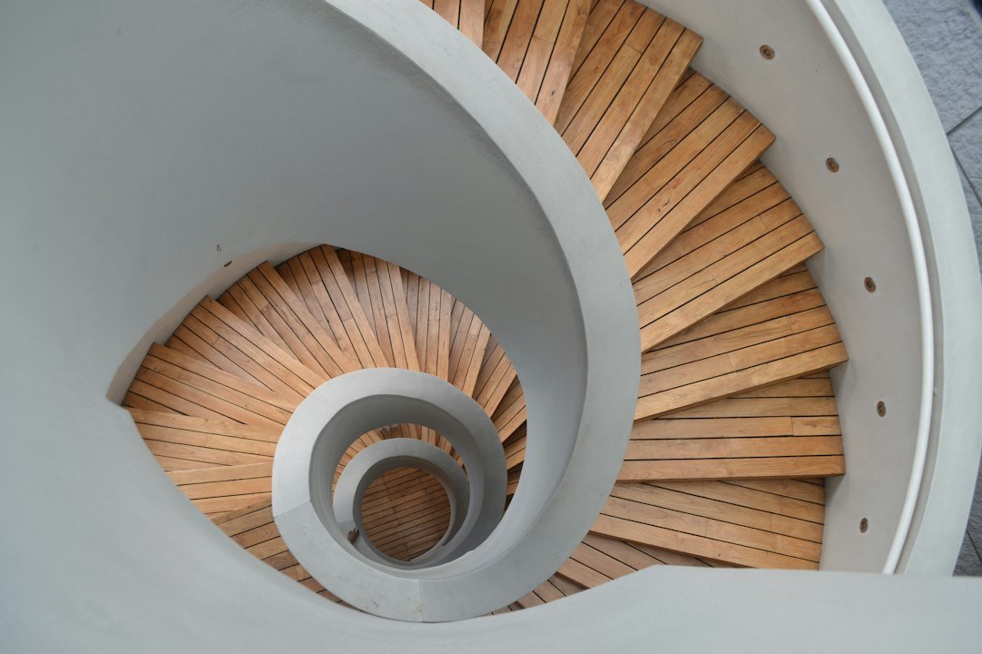
When the tower is open, the climb is the headline event: 97 steps of spiral staircase winding up inside the brick shaft, each revolution lifting you another story above the island. The stairs themselves are part of the experience — narrow, rhythmic, and just claustrophobic enough to make the gallery deck arrival feel earned. Sound carries strangely in the shaft; you’ll hear climbers below you as a soft percussion long before you see them.
And then the deck. The gallery wraps the lantern room and hands you a full panorama: Lake Michigan stretching to a blue horizon in one direction, the whole spine of the Door Peninsula in the other, Baileys Harbor’s two lighthouses visible to the south, and the causeway you crossed rendered small and harmless-looking below. On clear days the view reaches for miles, and even on hazy ones it explains, in one look, why 1869 chose this particular island for a light.
One practical note that visitors learn the hard way: the tower has closed periods. On our visit the lighthouse itself was shut to climbers — grounds and outbuildings open, tower locked — which happens for maintenance, staffing, or weather reasons. If the climb is the whole point of your trip, check the museum’s current status before you drive up the peninsula.
Baileys Harbor Deserves More Than a Drive-Through
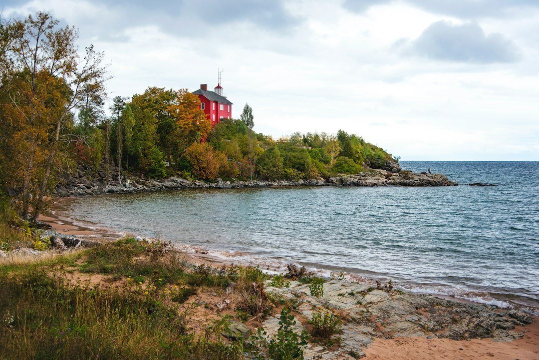
Most people blast through Baileys Harbor on their way somewhere else, which is a mistake the town quietly tolerates. This is the working-harbor side of Door County — fishing boats, a genuine waterfront, and a pace that the egg-and-butter crowd in the villages to the south left behind years ago. It’s also lighthouse country: the harbor’s own Range Lights and the old Baileys Harbor Light give the town a trio of historic beacons once Cana Island is counted, more than anywhere else on the peninsula.
Pair the island trip with a slow loop of the shore roads and you’ve got the best day-trip skeleton on this side of the county. Our full Door County coastal drive guide covers the route, including where to pull over for the water views that make this stretch of Highway 57 worth driving with the windows down.
And if the lighthouse obsession takes hold — it happens more often than you’d think — the souvenir economy is ready for you. A framed Cana Island print or a vintage-style metal lighthouse sign for the study, even a Baileys Harbor throw pillow for the couch that misses Door County all winter. No judgment. The lake does that to people.
Packing for a Hike That Ends in Water
The packing list for Cana Island is short, which is part of the charm, but the few things that matter really matter:
- Footwear you can submerge. Quick-dry aqua socks are the community favorite; sandals with real tread work if the mud doesn’t win.
- A towel that dries by lunch. A compact microfiber travel towel wrings out and lives in the trunk for exactly these crossings.
- Something to keep the electronics alive. A dry bag with a phone case handles both the splash risk and the sand situation.
- A camera that can take a dunk. A 360-degree action camera is ideal here — the causeway crossing and the gallery deck are the two shots where you genuinely can’t fit the scene in a normal frame. Add the invisible-selfie-stick tripod for group shots on the rocks and a spare lens cover, because the one optical lesson of limestone islands is that gravel finds glass.
- A phone with a good camera, as backup. Something like a Pixel 7 Pro handles the fallback duty, and the causeway panorama is exactly what ultrawide lenses were invented for.
None of this needs to cost much or weigh anything. The island rewards traveling light — everything you carry, you carry over water.
Timing Your Visit: Wristbands, Wagon Rides, and Closures
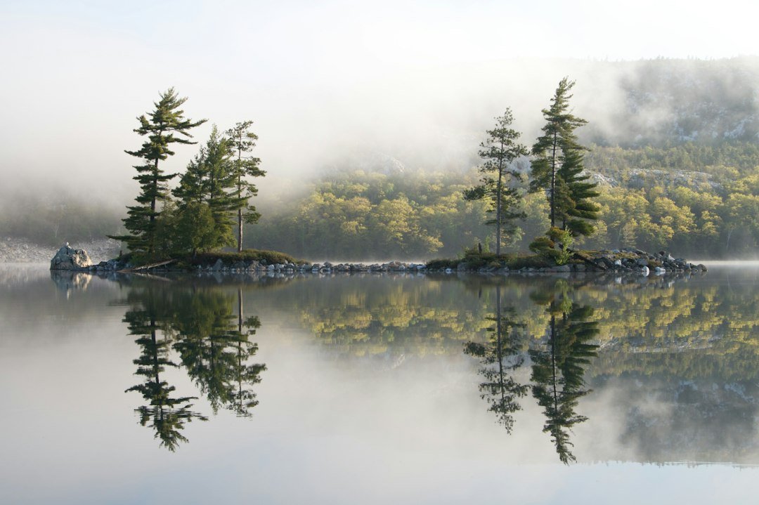
Cana Island’s visitor season generally runs late spring through October, with the sweet spot in September: warm water still holding from summer, thin crowds, and the first color hitting the maples inland. October crossings are colder and the light is moody and low — mist on the water at 9 a.m., gold on the tower by late afternoon. There’s a reason fall is when the peninsula shows off, and it’s not just the orchards.
Buy your wristband at the causeway landing, decide on foot versus wagon, and check the tower status the day before. Then build the day out: the island pairs perfectly with Cave Point’s limestone cliffs to the south, twenty minutes away, and September visitors catch the county in the quiet week after cherry season winds down — lodging drops, tables open up, and the whole peninsula exhales.
Some places are about the destination, and some are about the little trial at the door. Cana Island is both: a genuine piece of Great Lakes maritime history standing on an island that makes you cross a stretch of Lake Michigan on foot to earn it. Sixty seconds of cold water, one wet pair of shoes, and you’re walking where keepers walked for a century before you — with considerably better coffee waiting back in town.