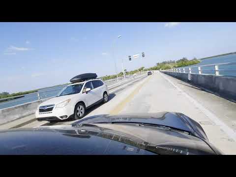
There is a particular kind of Florida that doesn’t make the brochures anymore. It lives on the thin ribbon of land between the Atlantic and the Indian River Lagoon, where the speed limit is 35, the radio comes in half-static, and every few miles a beach access road tempts you into stopping before you meant to. That Florida is still there, hiding in plain sight between Fort Pierce and Vero Beach, and the only way to find it is to give up the interstate for an afternoon.
The route is simple. From downtown Fort Pierce, you cross the bridge over the Indian River, land on the barrier island, and follow A1A north as it threads between ocean and lagoon until the road finally bends west again and deposits you back on the mainland south of Vero Beach. On a map it looks like almost nothing. Behind the wheel, it’s one of the best slow drives on Florida’s east coast — and most people blowing past on I-95, twenty minutes inland, have no idea what they’re missing.
Why the Barrier Island Beats I-95
I-95 from Fort Pierce to Vero Beach takes about 25 minutes when traffic cooperates. The barrier island route takes closer to an hour, and that’s if you don’t stop — which you will, because the whole point is stopping. This is a drive measured in beach accesses and fishing piers, not exits.
The trade you’re making is speed for water. The island is so narrow in places that you can see the green of the lagoon out one window and the blue-gray of the Atlantic out the other. Ospreys work the shorelines. Pelicans post up on channel markers like they’re waiting for a bus. Somewhere around the second or third scenic overlook, your shoulders drop an inch and you remember that road trips used to feel like this.
If you’re the type who likes the full picture before setting out, a detailed road atlas is worth the glovebox space — phone signal on the island flickers in and out, and honestly, navigating this stretch by paper feels right. Toss a pair of polarized sunglasses on the dash too. The glare off the lagoon in the late morning is no joke.
Fort Pierce: The Launch Point
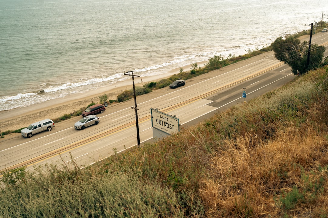
Start hungry. Downtown Fort Pierce has quietly become one of the better small-city food scenes on the Treasure Coast, and the city’s farmers market — held Saturdays along the riverfront — is a legitimate reason to time the whole trip around a weekend. Grab coffee, walk the marina, and watch the sailboats before you point yourself east toward the bridge.
Fort Pierce carries its history differently than the flashier towns to the south. This was a working port town back when the Treasure Coast got its name — literally, from the Spanish treasure fleets that wrecked offshore in 1715, scattering gold and silver across the reefs. Some of it is still down there. The same waters that swallowed those galleons now shelter manatees, dolphins, and more species of fish than most anglers can name.
The Birthplace of the Navy SEALs
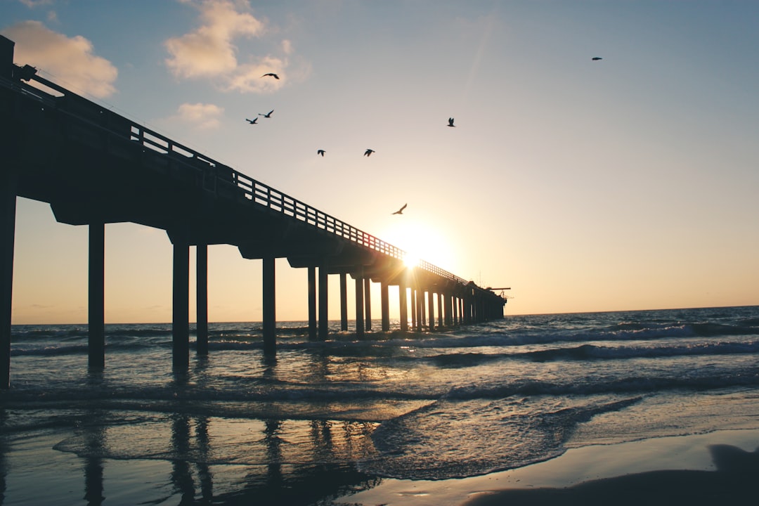
Here’s the fact that surprises almost everyone: the Navy SEALs were born on this island. During World War II, the Navy trained its first frogmen — the Underwater Demolition Teams — on the beaches just north of Fort Pierce Inlet, scaling cargo nets and blowing up obstacle courses in the surf. The National Navy UDT-SEAL Museum now sits on that actual training ground, and it is far better than its modest profile suggests. Actual landing craft. Actual demolition gear. A piece of the Bin Laden raid-era equipment story told by the people who lived it.
Budget an hour, maybe two. If you want the deeper backstory of how a handful of swimmers became the most feared force on the planet, the museum’s own history of the UDT-SEAL origins is a great ride home listen or read. It’ll change how you look at every beach on the rest of the drive — knowing young men trained for D-Day right where you’re standing in flip-flops.
Fort Pierce Inlet and the Jetty
Just past the museum, the landscape shifts. Fort Pierce Inlet State Park wraps the northern jaw of the inlet, where the ocean muscles its way between rock groins and the current runs hard enough to rattle your fillings. Surfers rate this break among the most consistent in South Florida. Families stake out the soft sand on the pocket beaches north of the jetty, and fishermen work the rocks for snook when the tide turns.
The water here is that impossible turquoise that people assume you have to fly to the Caribbean for. You don’t. You have to drive here. Bring more reef-safe sunscreen than you think you need — the sun off the sand and the inlet water will find every spot you missed — and if you’ve ever wanted to try snorkeling a jetty, this is an approachable one. A basic snorkel set and a little caution around the rocks is all it takes to drift over sheepshead and bait balls in ten feet of clear water.
The Drive North: Salt Water on Both Sides
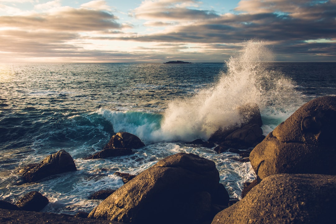
A few minutes north of the inlet, the road straightens out and the drive becomes the destination. This middle stretch of A1A is what the whole trip is about: dunes on your right, lagoon on your left, traffic moving at the speed of a beach cruiser — a slower, saltier cousin to the famous drive on Jupiter Island to the south, with the same water-on-both-sides magic and none of the guard gates. You’ll pass Pepper Park, whose unassuming beach hides the Urca de Lima — a wreck from that 1715 treasure fleet, now an underwater archaeological preserve you can snorkel in shallow water. You’ll pass beach parks with maybe three cars in the lot on a Tuesday. You’ll pass stretches where the mangroves close in on the lagoon side and the whole world goes green.
This is the part of the drive that deserves to be seen in full — the full run from the bridge crossing to the mainland is worth a watch before you go, because it captures the rhythm of the island in a way photos never quite manage:
One word of advice: drive it with the windows down. The salt smell changes as the road cuts between ocean side and lagoon side, and the sound of the surf comes and goes like the tide has an opinion about your playlist.
Turtle Beaches and the Nesting Season
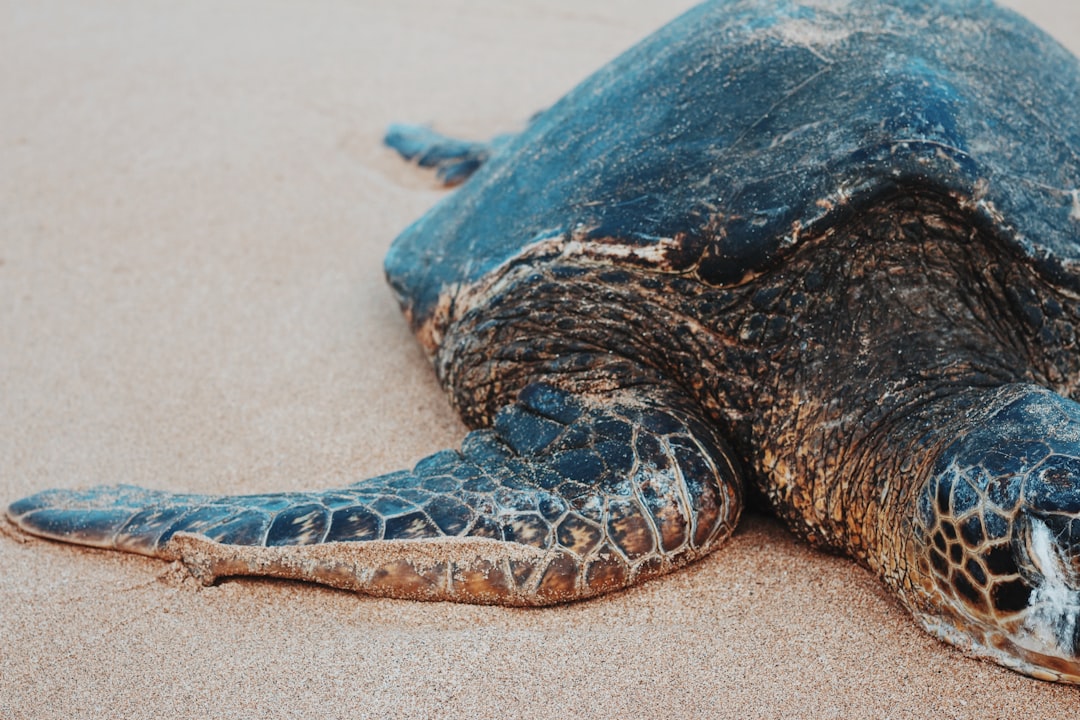
If you make this drive between May and October, you’re driving through one of the most important sea turtle nurseries on the planet. The beaches along this stretch — and continuing north toward the Archie Carr National Wildlife Refuge, which begins just above Vero — host thousands of loggerhead, green, and leatherback nests every summer. That translates to a wild statistic: these sands see some of the densest sea turtle nesting in the Western Hemisphere.
You’ll see the telltales if you look: stake markers with orange tape near the dunes, and occasionally the tractor-tread tracks of a female who hauled out the night before. Nesting walks with local guides run in season and are one of the quiet wonders of the Treasure Coast — there’s nothing quite like watching a 300-pound reptile dig a nursery by moonlight. If you’d rather DIY a beach day around it, an anchored beach umbrella, a low packable beach chair, and an insulated cooler bag are the entire kit you need for a few hours on an uncrowded stretch of sand.
Paddling the Indian River Lagoon
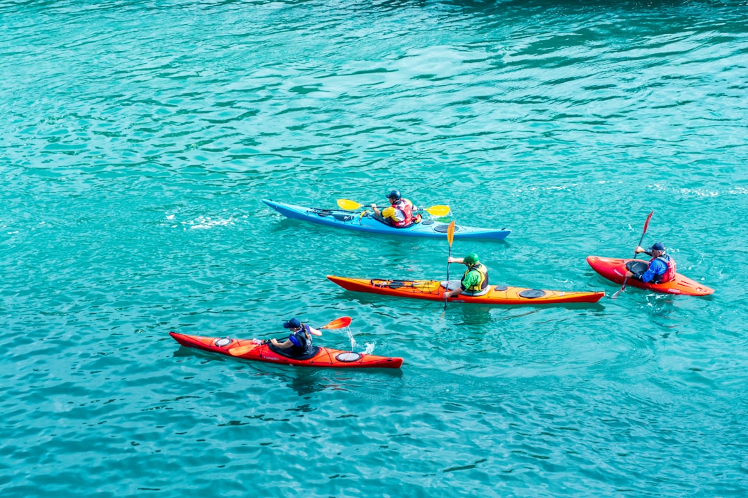
Here’s the thing most visitors never figure out: the flat water on the west side of the road is arguably the bigger attraction. The Indian River Lagoon isn’t a river at all — it’s a 156-mile estuary, one of the most biologically diverse in North America, and the sections flanking this drive are thick with mangrove islands, seagrass beds, and dolphins that hunt in water so shallow their backs break the surface.
Near the southern end of the route, Round Island Park offers one of the easiest paddle launches on the lagoon — a short carry from the parking area, protected water, and mangrove tunnels close enough to reach in a recreational kayak or even on a paddleboard. Manatees surface here constantly in the warmer months, and the birdlife (roseate spoonbills, herons in every flavor) borders on absurd. For understanding what you’re actually looking at out there, a good guide to the Indian River Lagoon’s ecology turns a pretty paddle into a genuinely fascinating one. And keep your phone in a waterproof pouch — the number of people who lose theirs to a lagoon gust every year is staggering, and it’s usually the folks who “were being careful.”
Old Florida, Sells Road, and the Slow Lane
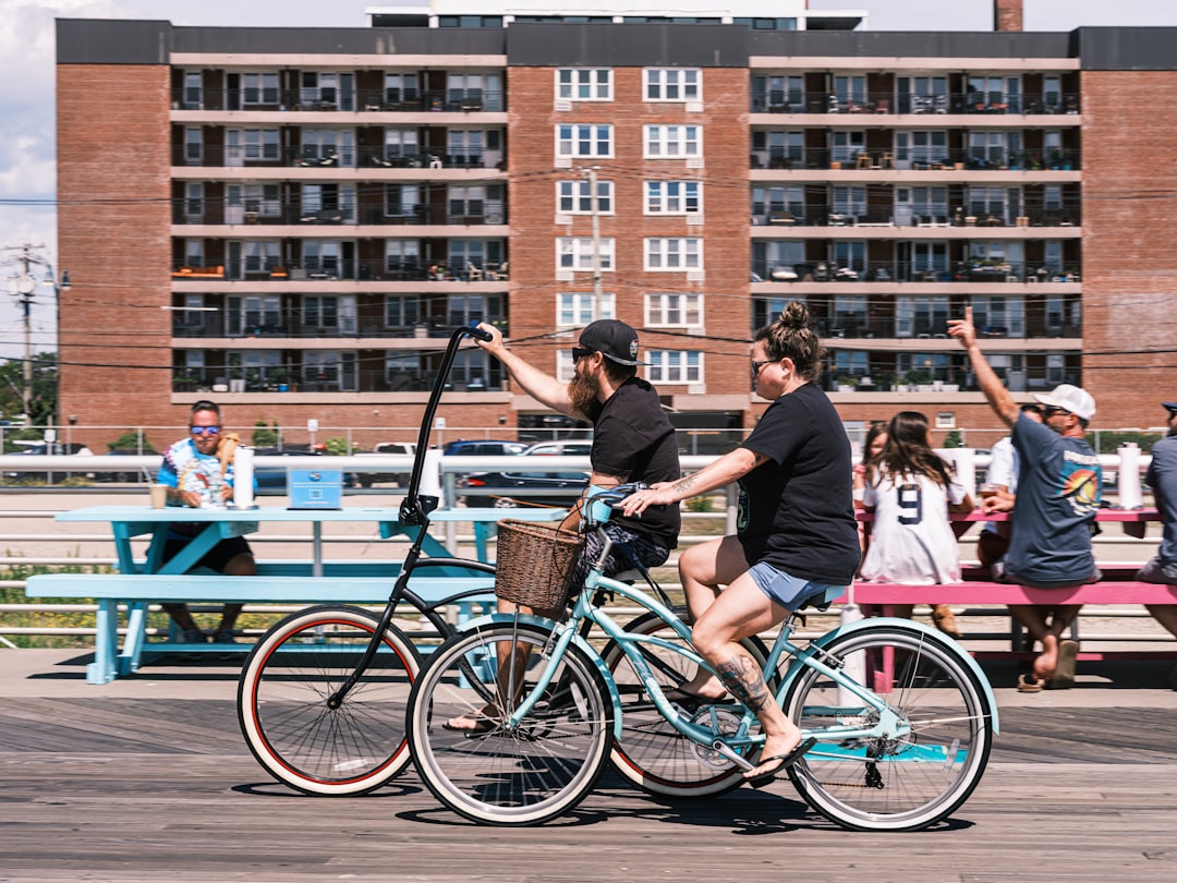
As you close in on Vero, the island relaxes even further. Ancient Australian pines and sea grapes canopy parts of the road. Condo towers from a gentler era of Florida development sit next to empty lots that somehow never got built on. Side roads like Sells Road — a cracked two-lane that threads between the beach homes — are best experienced the local way: slowly, ideally on two wheels. A beach cruiser with a basket is the unofficial vehicle of the barrier islands, and there’s a strong case for parking the car at any beach access and just… riding. The distances are short, the terrain is pancake-flat, and every road ends in either sand or water.
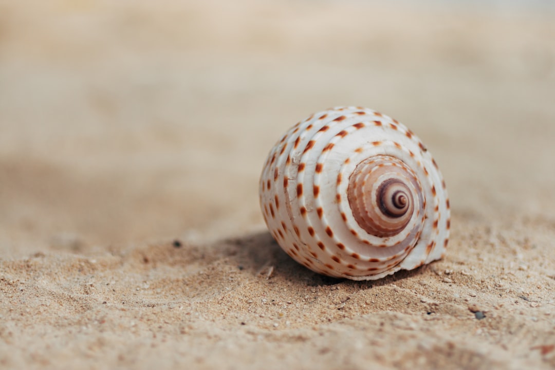
This stretch is also your last, best shelling. The beaches south of Vero pick up an honest assortment — lightning whelks, coquinas in every color scheme, the occasional shark’s tooth washed down from the fossil beds north of here. Walk the wet sand at low tide, especially after any period of swell, and bring along a Florida seashell field guide if you enjoy knowing a banded tulip from a fighting conch. Half the pleasure of beachcombing is the naming of things.
Ending in Vero Beach
The drive’s official finish line is the bridge where A1A bends back west over the lagoon to the mainland, but do yourself a favor and don’t end at the bridge. Vero Beach is the kind of town that rewards wandering — a proper beachside downtown, an old art deco theater, restaurants that serve grouper sandwiches without a single pretension, and beaches wide and flat enough to make you reconsider your return trip. It’s a natural companion to the kind of bigger Florida road trips people plan for weeks — except this piece of it takes an afternoon and costs almost nothing.
Heading south afterward, the direct route along US-1 returns you to Fort Pierce through old citrus towns and past more history than you’d expect — the Hutchinson Island stretch’s past runs deeper than the resort strips ever suggest. But most people who do this drive once immediately start planning the version with more stops: the museum tour they skipped, the paddle they ran out of daylight for, the Saturday when they’ll finally time the farmers market right.
Before You Go: The Practical Bits
Timing matters less than you’d think — the island delivers in every season — but a few things make the day better. Start mid-morning so the sun is high enough to show off the water colors. Check the tide chart if shelling matters to you; low tide wins by a mile. Keep some cash for the smaller beach parks, though most are free or nearly so. And plan for the fact that this drive routinely takes people twice as long as they expected, not because of traffic, but because the island keeps interrupting with reasons to stop.
That’s not a flaw. That’s the entire point of giving up the interstate for an afternoon — and once you’ve done the Fort Pierce to Vero stretch, you’ll never look at that anonymous stretch of I-95 the same way again. Twenty minutes inland, the whole time, was this.
1 thought on “Fort Pierce to Vero Beach: The A1A Detour Where Florida Slows Down”