There’s a moment on the Cabot Trail, somewhere between the 40th and 50th lookoff of the day, when you stop reaching for your camera. Not because the views get worse — because your arms give out. This is the road Nova Scotians have been quietly bragging about for a century, a 185-mile loop around the northern cap of Cape Breton Island where the highlands drop straight into the sea, and every October it does something the postcards can’t capture: it catches fire.
My team and I spent the first half of October up there last fall, ostensibly to “audit the shoulder-season value proposition.” That’s what the itinerary said. What we actually did was drive the loop twice, eat an irresponsible amount of seafood chowder, and stand on a headland while a pilot whale breached below us and a fiddle tune drifted up from a village hall three coves over. I’ve driven a lot of scenic roads for this job, and I’m ready to say it: nothing in eastern North America peaks harder than the Cabot Trail in the first two weeks of October.
Why Early October Is the Only Window That Matters
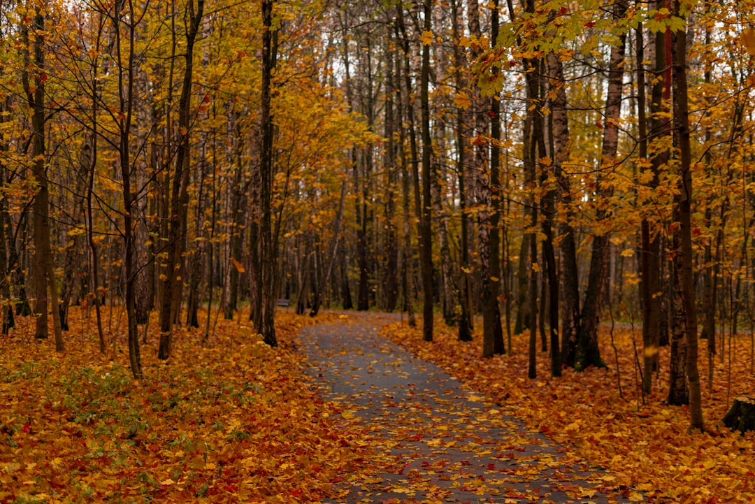
Here’s the timing, and it’s tighter than most guides admit. The color show starts in the highlands — elevation turns first, so the plateau above 300 meters blazes red and orange while the coast is still green. By the first week of October, that fire spills down the slopes. By the second week, the whole island is lit. By the third week, it’s over, the wind has moved in, and several coastal businesses start winding down for the season. The magic window is roughly October 1 through 15, give or take a frost.
And in 2026, that window gets a gift. The Celtic Colours International Festival — nine days of fiddle music, community suppers, and concerts staged in churches, fire halls, and theaters across the island — runs October 9–17, its 30th anniversary edition. Fifty-two concerts across 36 communities, timed almost perfectly to the foliage peak. It’s as if the island scheduled its two best attractions for the same fortnight on purpose.
The catch, of course, is that everyone who knows about this window books the same ten days. Rooms in Ingonish and Cheticamp thin out fast for festival week. If you’re even loosely considering it, book the bed now and figure out the rest later — this isn’t a trip you improvise in early October. The Blue Ridge Parkway gets the fame, the foliage crowds, and the traffic jams; the Cabot Trail delivers the same color payoff with a fraction of the audience.
Mapping the Loop: How We Split It Into Three Days
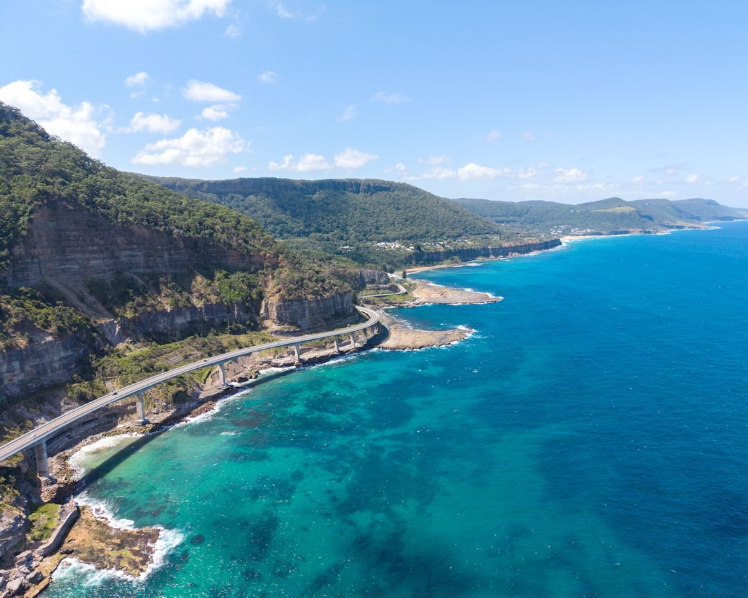
The full loop runs about 185 miles, and you can technically bomb around it in one long day. Don’t. We gave it three days and still rationed our stops, because every pull-off begs for ten minutes and there are dozens of them. Most people base out of Baddeck, the tidy village on Bras d’Or Lake that’s roughly four hours northeast of Halifax, and run the loop clockwise — up the interior, along the north coast, then down the wild west side. Clockwise keeps you on the inside lane through the cliff-hugging sections, which matters more than you’d think when a tour bus rounds a hairpin toward you.
Our split: Day One, Baddeck to Ingonish via the east coast’s long views and the park’s northern plateau. Day Two, the slow crawl through Cape Breton Highlands National Park’s west side — the trailhead day, the moose day. Day Three, the Acadian coast down through Cheticamp and the Margaree Valley back to Baddeck. It’s the same general rhythm we used on the Lake Superior Circle Tour, and it works for the same reason: big driving days that end somewhere with hot food and a sunset.
One throwback recommendation from our route-planner: bring an actual paper road atlas. Cell coverage on the loop is better than it was a decade ago, but “better” on the highland plateau still means long dead patches, and the small roads — the ones to the lookoffs, the beaches, the lobster shacks — are exactly where maps apps get creative. A good large-scale road atlas costs less than two coffees in Baddeck and never loses signal.
The West Coast Climb: Cheticamp to Pleasant Bay
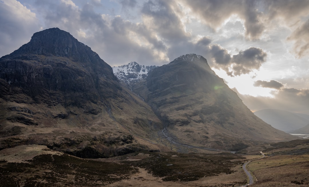
Everything you’ve heard about the west side being the trail’s showpiece is true, and it undersells the road itself. North of Cheticamp — a proudly Acadian fishing town where French is the first language on the docks — the road starts climbing and simply refuses to stop behaving. Hairpins stacked on hairpins, cliffside shoulders, lookoffs that arrive faster than you can park. This is the section where the Cabot Trail stops being a drive and becomes an event.
Weather up here does whatever it wants. We wore through three distinct microclimates in ninety minutes: sun in Cheticamp, fog on the plateau, sideways drizzle at French Mountain. The fix isn’t a heavier jacket — it’s a proper packable rain shell that lives in the daypack and a set of merino base layers underneath, because October on the highlands can run from tee-shirt afternoon to near-freezing dusk without asking your permission. Dress like the weather is personal and unstable, because it is.
Budget real time for Cheticamp itself. The harbor front is a working wharf, not a set, and the red sheds and drying nets make for the kind of photographs that look staged until you’ve stood there. Grab chowder, watch the boats, and let the town’s rhythm slow you down before the road tries to speed you up.
The Skyline Trail: A Reservation, Some Moose, and the Best Headland in Eastern Canada
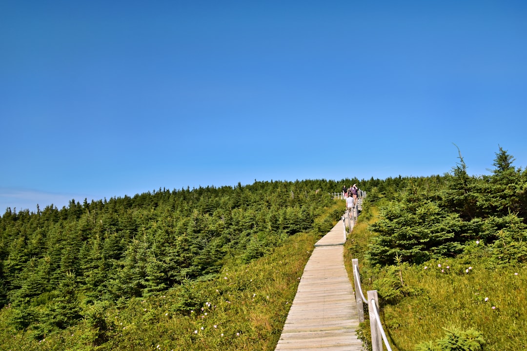
If the Cabot Trail has a single must-do, it’s the Skyline Trail — roughly five miles round trip through boreal plateau, ending at a staggered boardwalk that descends a headland into what feels like thin air, with the Gulf of St. Lawrence burning blue 300 feet below. On a clear evening it’s the best view on the island. On a foggy evening it’s something stranger and arguably better: the boardwalk materializing one switchback at a time out of the mist.
Know the new rules before you go: parking reservations are required for the Skyline Trail lot from June 26 through October 25, 2026, exactly the window that covers foliage season. Book your time slot through the Parks Canada site days ahead — weekend morning slots during peak color go first, and showing up without one means turning around. Visitation runs highest on weekends and holidays, so a weekday late-afternoon slot gets you the headland with a fraction of the company and the good light to go with it.
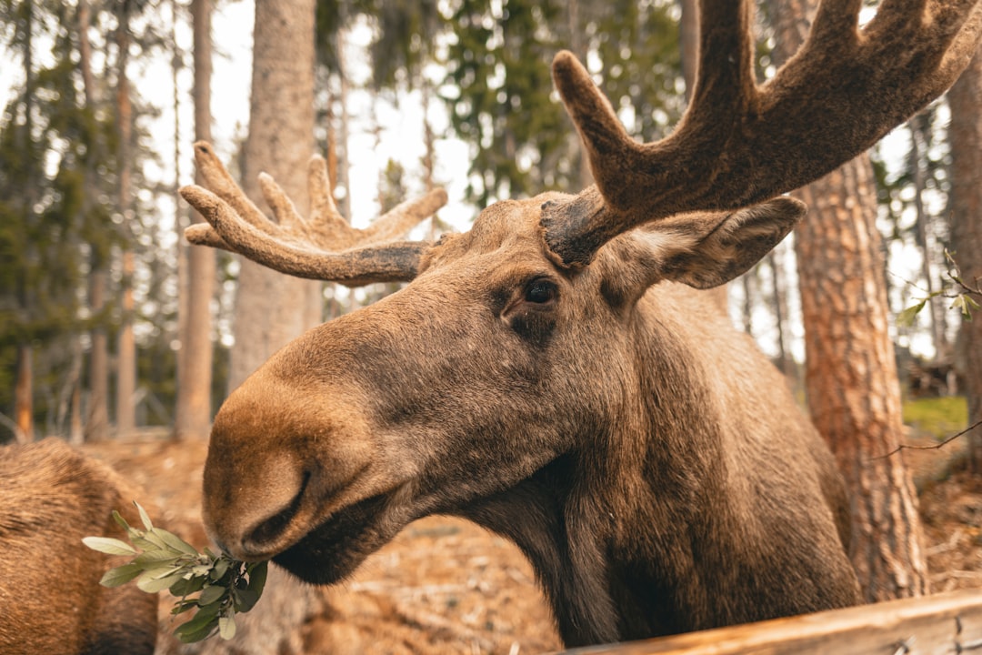
The trail is also moose central. We counted four, including a bull with a rack like a fence gate who blocked the path for twenty minutes with total indifference to our schedule. Keep distance — thirty meters minimum, more if the animal notices you — and don’t be the person crowding a moose for a phone photo. The plateau’s bogs are also blackfly and mosquito territory well into the cool months, so a serious repellent in the pack is non-negotiable even in October. And if you take the late slot like we did, a compact headlamp for the walk back is smart insurance; sunset comes fast when you’re this far north and this far west.
Whales Before Breakfast
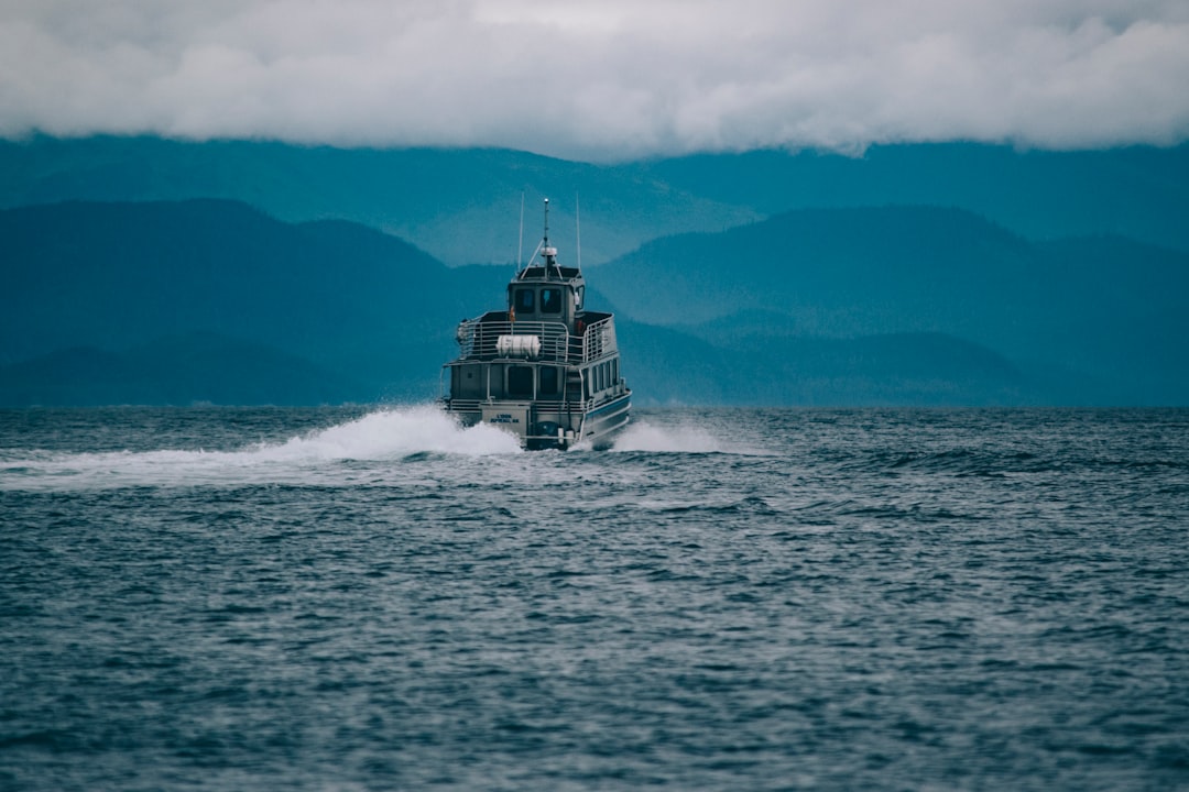
Pleasant Bay, a village of about 300 people tucked into the trail’s remote northwest corner, punches far above its weight for one reason: it’s the jumping-off point for whale watching on the Gulf of St. Lawrence. Pilot whales are the regulars here — social, travel-in-pods, and given to logging at the surface like they haven’t a care in the world — and the season runs deep into October. We booked the first boat of the morning and were rewarded with glass-calm water, a pod of eight, and the odd acoustic experience of hearing them blow before you spot them in the low light.
Two practical notes. First, bring binoculars that are actually worth carrying — a compact 12×25 pair lives in a jacket pocket and turns “is that something out there?” into an actual wildlife encounter, and the crew will tell you the people who spot first almost always have glass up. Second, the Gulf in October is cold-water cold, and the spray on the ride out is real; a cheap dry bag keeps your phone, spare layer, and camera dry without adding bulk. Zodiac-style rides drench; bigger boats mostly don’t. Ask which you’re getting when you book.
The East Side: Ingonish, Long Views, and the Slow Fade of Color
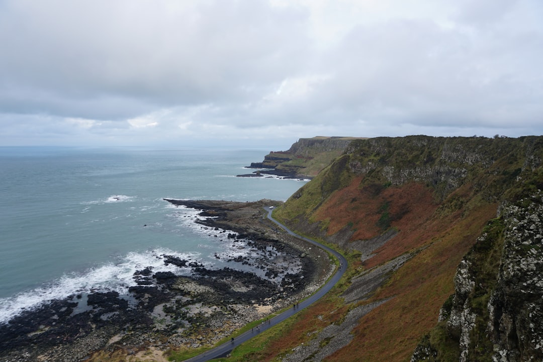
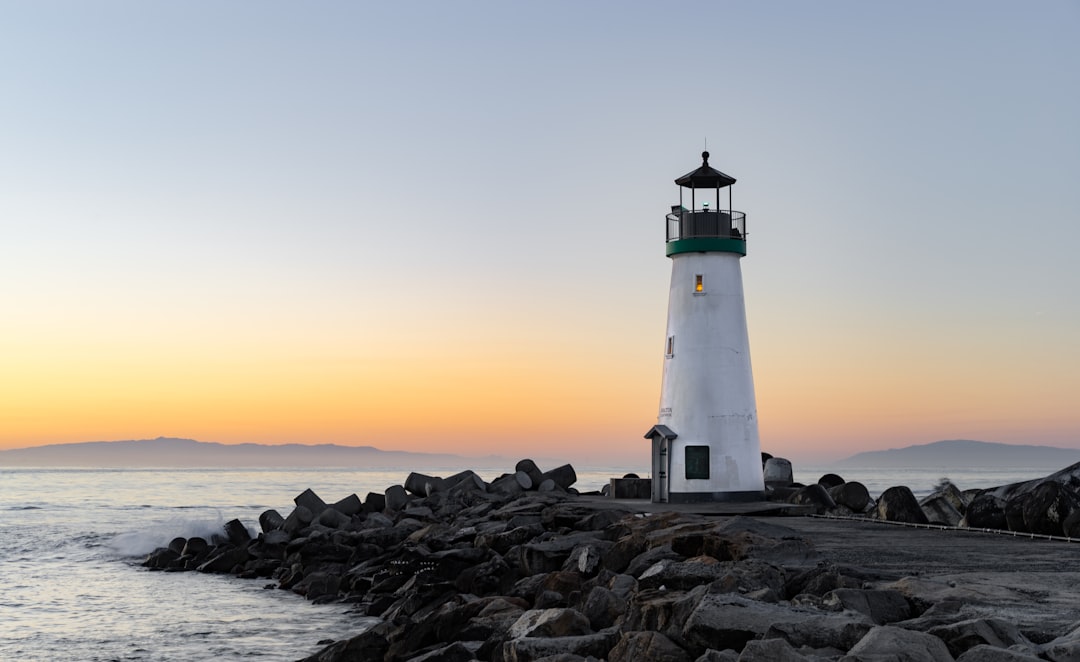
The east coast of the loop is the west side’s gentler sibling — rounder mountains, wider bays, and the foliage peaking a few days later as you drop toward sea level. Ingonish is the anchor: a string of coves and beaches under the Keltic Lodge headland, with the trail’s most photographed lighthouse scenes playing out along the rocky points. This is where you want your long-lens landscape moments, the morning fog burning off Middle Head, the kayak put-ins that look too calm to be Atlantic.
The east side is also your hedge on timing. If you arrive the last week of September and the highlands have only started to turn, the east coast will still give you its full show later in your trip — the color gradient moves downhill and eastward over roughly ten days. Building the drive clockwise, west side first, means you effectively sweep the foliage front as it falls. Not a promise — trees don’t take bookings — but in three visits it’s held up.
Give the north coast plateau its due, too, between Ingonish and Pleasant Bay. This is the section where the road runs the top of the highlands like a ridge line, with tundra-style barrens and valley views that run thirty miles on a clear day. It’s the quietest stretch of the loop, and in early October, with the berry-red ground cover beneath burning birch, it’s the part my team still brings up unprovoked.
Celtic Colours: When the Whole Island Becomes a Stage
Here’s what seals October as the time to go: after the driving day ends, Cape Breton doesn’t. During Celtic Colours, the festival runs concerts in 36 communities simultaneously — a Tuesday-night fiddle set in a 150-year-old church in Baddeck, a Gaelic milling frolic in a hall up the coast, a 4 p.m. matinee in Ingonish while rain moves through. The 30th anniversary program has 52 concerts and 16 matinees, and the whole island’s bed-and-breakfast culture reorients around it. You will share a breakfast table with the fiddler you saw the night before. This is not a coincidence; it’s the design.
The strategy our team settled on: pick two anchor concerts for the week, leave the other nights open, and follow the local advice — half the festival’s magic is the small community events, the suppers and sessions where the touring musicians show up to play unrehearsed. Tickets for the big names at the Savoy or the Mabou hall go early; the matinees and community events rarely sell out and are often the better stories. Bring something warm for the walk back to the car afterward. An October night on the coast, with a thermos of something hot in the cupholder, is its own kind of encore.
Packing for Highland Weather in October
October on Cape Breton is four seasons auditioning for your attention in a single day, and the packing list should treat that as the design brief rather than the exception. The layering system that earned its keep across our trips: a merino base layer set at the bottom (the women’s set and the men’s set have both survived weeks of daily re-wearing on the road), a warm mid-layer, and the packable rain shell on top. Merino matters here more than usual — it handles the wet-chill combination that synthetics struggle with when you’re sweating up the Skyline’s boardwalk and then standing still on a whale boat an hour later.
The small comforts matter on this trip more than the gear-head stuff. A vacuum-insulated travel mug that actually holds heat for the dawn boat rides. A hot water bottle for cabins and B&Bs with enthusiastic but imperfect heating — a $15 indulgence that reads as genius at 2 a.m. when the wind finds the window gaps. The headlamp I mentioned for late trail exits. Bug spray for the plateau bogs. None of it is exotic, and that’s the point: this is a trip that rewards readiness, not gadgets.
For deeper planning, a dedicated Nova Scotia guide earns its shelf space — the festival-plus-foliage fortnight has enough moving parts (park reservations, ferry schedules if you’re coming via Maine, alternate coastal routes) that a curated guide pays for itself in one good decision. And if you want the full library approach, our route notes from the trail comparisons below cover the other drives we’ve audited this year.
The Verdict: Worth the Pilgrimage
Let me put the Cabot Trail in its proper weight class. Colorado’s Million Dollar Highway is more dramatic per mile, but it’s over in an hour and you can’t get out of the car without a ranger noticing. The Blue Ridge Parkway is longer and lusher, but you’ll share every overlook. The Cabot Trail is the complete package: a world-class driving road wrapped around a national park, in a place where the peak season for color, whales, wildlife, and traditional music all land inside the same two-week window, with crowds that remain — barely — manageable. For two weeks every October, it’s the best road trip in the east. I’ll be back for my fourth visit this fall, and I’ve already booked the room.
2 thoughts on “The Cabot Trail in October: Two Weeks of Color, Fiddles, and Whales on Cape Breton”