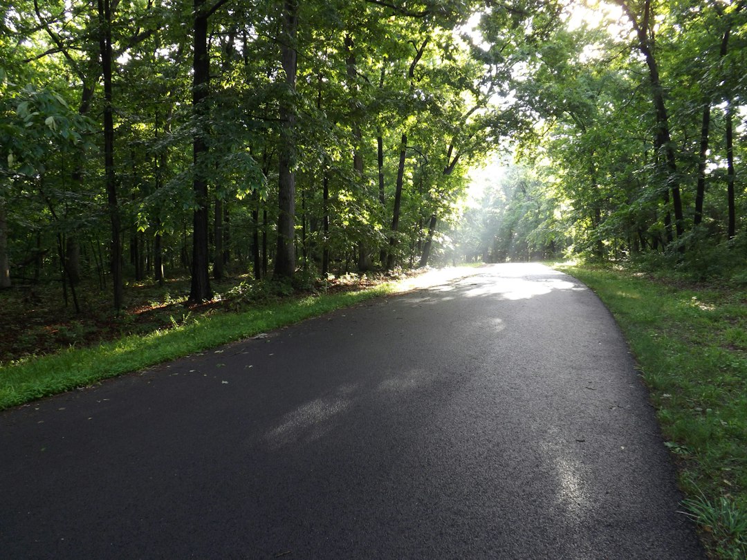
The first thing nobody tells you about the Natchez Trace Parkway is that there are no billboards. None. For 444 miles between Natchez, Mississippi, and the hills just south of Nashville, the road runs through a corridor of federal land with no trucks hauling freight, no strip malls, no neon. There’s a two-lane ribbon, a 50 mph speed limit, a milepost every mile, and in late October and early November, a canopy of hickory, sweetgum, and oak doing its slow burn from green to copper overhead.
I drove it south to north this fall with my small crew handling the logistics behind me: one person tracking closures, another keeping a running list of where to find gas, which turns out to matter more than you’d think. What follows is the itinerary we settled on, the detours you need to know about this season, and the gear that earned its place on the passenger seat.
Why Late Fall Is the Trace’s Best Season
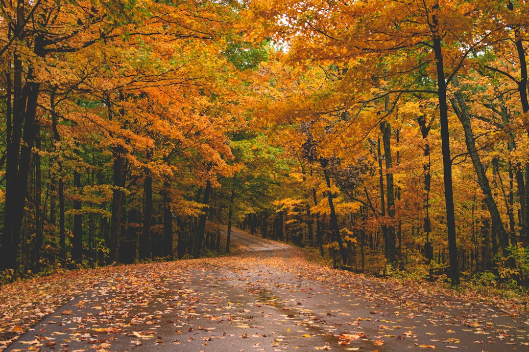
Spring gets the press here. Dogwoods and redbuds flower along the shoulders in April, and the parkway fills with cyclists and tour groups. But late October through mid-November is when the Trace makes its quieter argument. Temperatures settle into the 60s by day, the humidity that smothers Mississippi summers finally lifts, and the color arrives in waves: first in Tennessee’s ridges around the last week of October, then rolling south through the Tupelo hills and into the cypress bottoms of central Mississippi by mid-November.
Because the color moves north to south while you drive south to north, you can actually chase it in two directions depending on your timing. Start in Natchez in early November and you’ll drive into peak color somewhere around the Alabama line. If you’re curious how this year’s foliage map is shaping up regionally, our 2026 fall foliage forecast breaks down the timing by region.
Crowds are thin. On a Tuesday in early November, we went twenty minutes at a stretch without seeing another car.
Before You Go: The 2026 Closures That Change Your Route
This is the part that will save you an hour of confusion. The National Park Service has two sections closed to through traffic this fall, and neither is optional to plan around.
- Mileposts 135 to 159.5 (Leake and Attala counties, Mississippi): Closed since August 3 for full-depth road reconstruction, expected to run through late 2026. The signed detour uses Highways 16, 25, 35, and 19 and adds only about eleven minutes, but cyclists can’t ride it and will need a shuttle.
- Mileposts 437 to 440 (Williamson County, Tennessee): The famous Double Arch Bridge at Birdsong Hollow is closed through May 2027 for a permanent safety barrier and a fresh coat of paint. A 7.5-mile detour via Highways 96 and 100 gets you to the Northern Terminus.
The bridge closure stings, because the Double Arch is the postcard shot of the whole parkway. You can still see it from below at the Highway 96 pullout, and you can drive from the Northern Terminus to Big Tree Overlook at milepost 440 and back. Two smaller notes from the NPS status page: water at the Rocky Springs Campground comfort station (MP 54.8) is non-potable, and restrooms at the Meriwether Lewis site (MP 385.9) are closed due to a water leak. Check the official road and site status page the morning you leave.
Cell coverage is patchy in the middle third of Mississippi. We kept a printed Natchez Trace map in the door pocket and used it more than our phones, and a sturdy dash phone mount kept offline maps visible when we did have them.
Day One: Natchez and the Southern Terminus (Mileposts 0 to 41)
Natchez sits on a bluff two hundred feet above the Mississippi River, and it’s the oldest continuous settlement on the river, predating New Orleans by two years. Spend the night before you start. Walk the bluff at sunset, eat somewhere with a view of the bridge to Vidalia, and let the river set the pace for the trip.
Ten miles up the parkway, take the Highway 553 exit and drive a mile west to Emerald Mound. Built between 1300 and 1600 A.D. by ancestors of the Natchez people, it’s the second-largest ceremonial mound in the United States, an eight-acre platform rising 35 feet with two smaller mounds perched on top. A paved path climbs to the summit. Standing up there in the morning fog, with crows working the treeline and the parkway invisible behind you, is the moment the trip stops being a drive and becomes something older.
Push on to milepost 41.5 and the Sunken Trace, where centuries of boots, hooves, and wagon wheels wore the original path deep into the loess soil. The walls rise above your head, roots dangling like curtains. It’s a five-minute walk and the single best place on the route to understand what this road used to be: a footpath that Kaintuck boatmen walked home after floating goods down to Natchez.
Port Gibson, just off the parkway, is worth the short detour for the Ruins of Windsor, 23 Corinthian columns standing alone in a field where a mansion burned in 1890. Bring a pair of compact binoculars; the hawks working the fields around the ruins are a bonus.
Day Two: Rocky Springs, Cypress Swamp, and the Detour (Mileposts 41 to 200)
Rocky Springs at milepost 54.8 is a ghost town in the truest sense. A thriving community of over 2,000 people in the 1860s, it was undone by the Civil War, yellow fever, the boll weevil, and soil erosion, in roughly that order. Today, a brick Methodist church from 1837 still stands on the hill, and a short trail leads past rusted safes and cisterns to the creek. The campground here is free and first-come, but remember the water warning and fill a collapsible water jug before you arrive.
North of Jackson, the parkway hugs the Ross Barnett Reservoir for miles, and then, at milepost 122, comes the stop I’d tell anyone not to skip: the Cypress Swamp. A half-mile boardwalk loop crosses a tupelo-and-bald-cypress swamp, and in November the cypress needles turn the color of rust before they drop. Alligators are mostly sluggish this late in the season, but you’ll see turtles stacked on logs if the sun is out.
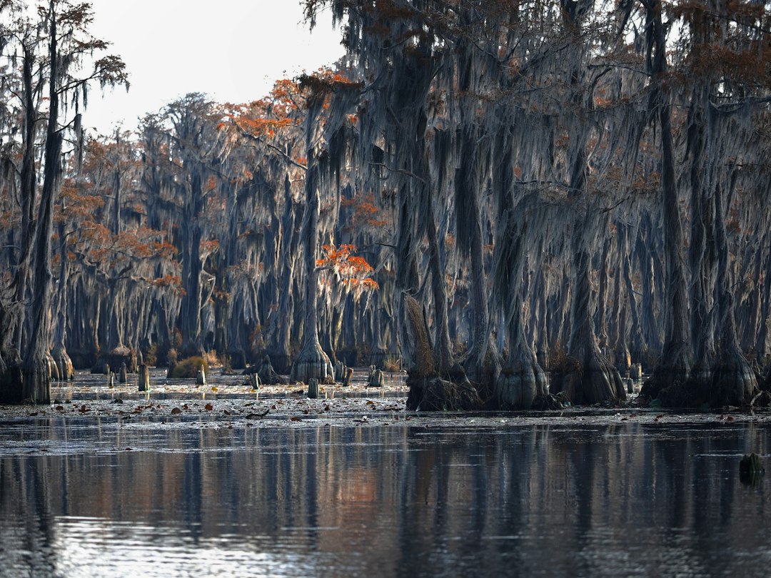
If that swamp gets under your skin the way it did mine, the same rusty-needle show plays out on a bigger scale across the Texas line; we wrote about paddling Caddo Lake when the cypress turn just last week.
Just past the swamp, at milepost 135, the construction detour begins. Follow the signs rather than your GPS, which sometimes tries to send you down closed ramps. The detour runs through Kosciusko, Oprah Winfrey’s birthplace and one of the oldest settlements on the old Trace, and it’s a fine place for lunch. North of the closure, French Camp (MP 180.7) has an 1846 log cabin, a working sorghum mill in the fall, and a small cafe whose bread pudding my crew is still talking about.
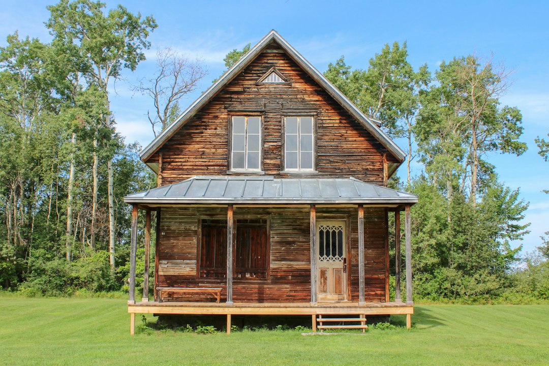
Jeff Busby (MP 193.1) has a short drive up to one of the highest points in Mississippi, 603 feet, which sounds like a joke until you see the view across forty miles of rolling hardwood.
Day Three: Tupelo to the Tennessee Line (Mileposts 200 to 341)
Tupelo is the parkway’s headquarters and the logical midpoint. The Parkway Visitor Center at milepost 266 is open 9 a.m. to 4:30 p.m. daily and has the best orientation film and exhibits on the route; it’s also where to pick up a stamp for your national parks passport. In town, Elvis Presley’s two-room birthplace is a ten-minute drive away and more moving than you’d expect.
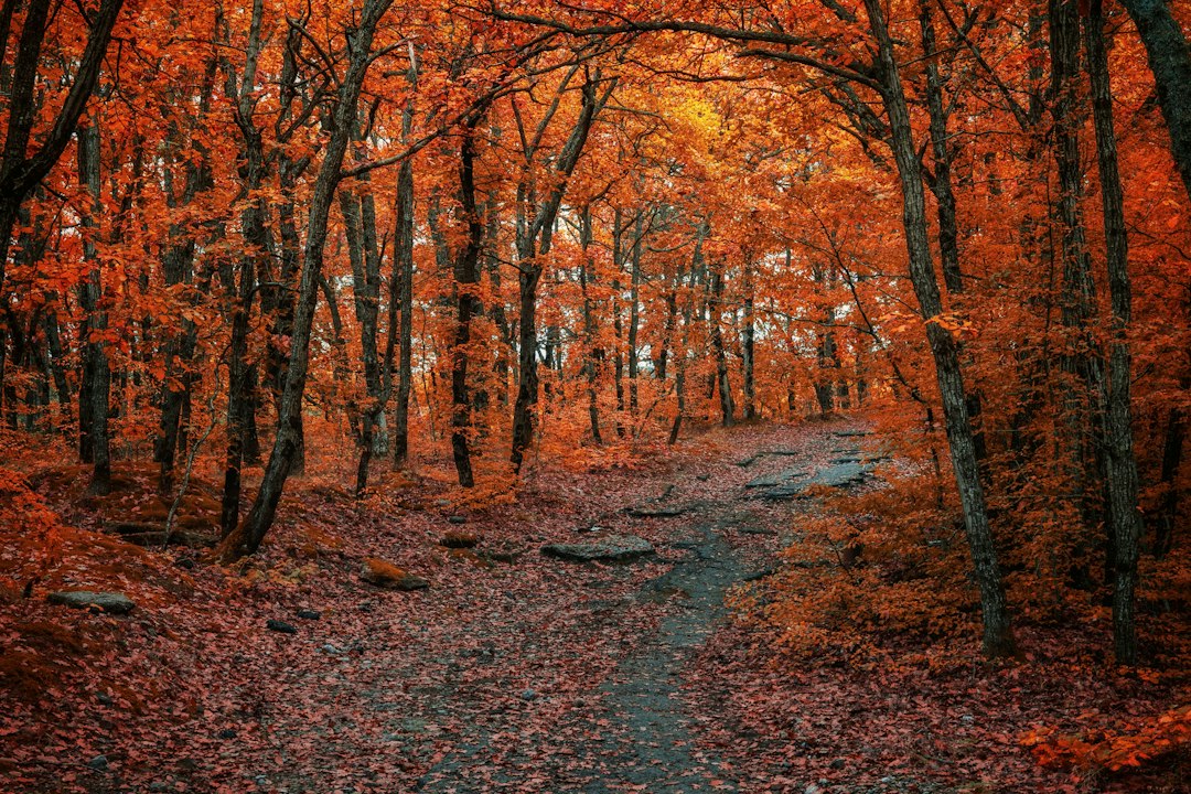
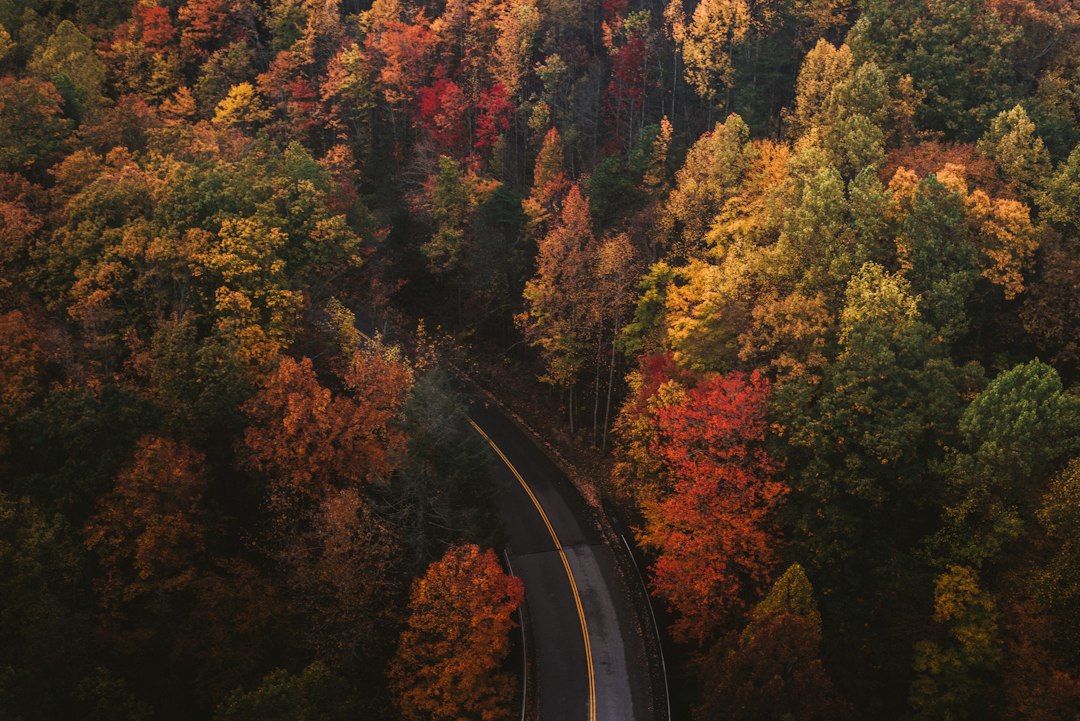
The Chickasaw Village Site (MP 261.8) and the Tupelo Trail give you a chance to stretch your legs before the hills start in earnest. North of Tupelo, the terrain changes. The flat pine country gives way to ridges and hollows, and the hardwoods take over. This is where we hit peak color in early November: sugar maples flaring orange, sassafras going scarlet, the whole forest seeming to hum.
Tishomingo State Park, just off milepost 304, is the best hiking stop in the Mississippi section, with sandstone boulders and a swinging bridge over Bear Creek that seem transplanted from Appalachia. The air turns noticeably colder here at dawn. A packable down jacket that stuffs into its own pocket was the most-used item in the car on this stretch.
Cross the Tennessee River at the John Coffee Memorial Bridge (MP 328), a three-quarter-mile span that’s especially lovely in low morning light, and you’re nearly into Tennessee.
Day Four: Waterfalls and Meriwether Lewis (Mileposts 341 to 408)
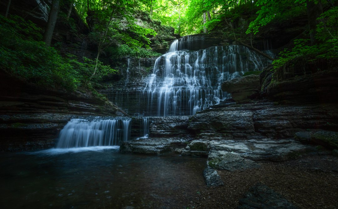
The Tennessee section is the parkway’s showpiece in autumn. Within a few miles of the state line, you’ll find Sweetwater Branch (MP 363), Fall Hollow (MP 391.9), and Jackson Falls (MP 404.7), the last a steep paved path down to a fan-shaped cascade that’s at its best after a rain. The trails are short but slick with wet leaves this time of year, and trekking poles or a good pair of waterproof hiking shoes make a real difference on the descents.
At milepost 385.9, the Meriwether Lewis site marks where the leader of the Lewis and Clark expedition died at Grinder’s Stand in 1809 under circumstances still debated. His monument, a broken column symbolizing a life cut short, stands over his grave. With the restrooms closed this fall, plan a stop in Hohenwald or at Little Swan picnic area. A small back-seat car organizer kept snacks, wipes, and our paper map within reach during these long gaps between services.
Speaking of services: there are none on the parkway itself. No gas, no food, no lodging inside the federal corridor. You’ll exit for all of it. Fill up whenever you drop below half a tank, and keep a portable jump starter in the trunk; it’s the kind of thing you’ll never need until you’re the only car for fifteen miles.
Day Five: Leiper’s Fork and the Last Miles to Nashville (Mileposts 408 to 444)
Leiper’s Fork, just off milepost 428, is the kind of village that makes you reconsider your life choices. A single main street of galleries, antique shops, and a meat-and-three where the line forms early, set in rolling horse country that looks almost staged in its perfection. The Leipers Fork segment of the Natchez Trace National Scenic Trail runs 24 miles from milepost 408 north to Garrison Creek, and even a two-mile out-and-back from the Highway 7 trailhead gives you a sense of the old road’s rhythm.
Garrison Creek (MP 427.6) is also a good place to pull over with a thermos of coffee. We used an insulated, leakproof travel mug every morning of this trip, and it was still hot by the time we found the morning’s overlook.
Then comes the bridge detour. Exit at milepost 437, follow Highway 96 west and Highway 100 east, and you’ll reach the Northern Terminus. From there, drive the short in-and-out to Big Tree Overlook for a last look south over the hills you just crossed. It’s not the triumphant finish across the Double Arch Bridge, but standing at the overlook with the light going gold, it didn’t feel like a lesser ending.
How Many Days You Actually Need
The NPS suggests three days end to end and five to explore in depth, and I’d lean toward five. At 50 mph with the detours, the pure driving time is around ten hours, but the point of the Trace is the stopping. Every pull-off has a sign, a story, and usually a short trail. Rushing it turns the parkway into a slow highway; savoring it turns it into a history lesson told in mileposts.
If you only have a long weekend, pick a half. The southern half (Natchez to Tupelo) is about Native American history, antebellum towns, and swamps. The northern half (Tupelo to Nashville) is about hills, waterfalls, and the best autumn color. For a similar slow-lane fall trip in the Ozarks, our piece on the Buffalo River’s second fall follows the same idea of chasing late color after the crowds go home.
Where to Sleep Along the Way
The parkway has three free campgrounds: Rocky Springs (MP 54.8), Jeff Busby (MP 193.1), and Meriwether Lewis (MP 385.9, currently primitive with no water). All are first-come, first-served with a 14-day limit. Overnight lows in November can drop into the 30s in Tennessee, so a sleeping bag rated to 30 degrees is worth packing even if the afternoons feel like September.
If you’d rather sleep indoors, the natural overnight towns are Natchez, Ridgeland or Jackson, Tupelo, and Franklin or Leiper’s Fork at the northern end. Book Natchez and Leiper’s Fork ahead on weekends; everything in between is easy to find on the day.
A Few Hard-Won Tips
- Watch for deer at dusk. The wooded corridor is a wildlife highway, and late fall is rut season. The 50 mph limit exists for a reason.
- Share the road with cyclists. The Trace is a designated bicycle route. Give riders a full lane when passing.
- Bring cash. Some small cafes and roadside stands off the parkway still don’t take cards.
- Use the mileposts. Every attraction is keyed to them, which makes planning simple even without a signal.
- Pack layers. We saw a 30-degree temperature swing between dawn at Tishomingo and afternoon in Leiper’s Fork.
The Natchez Trace asks you to slow down in a way most American roads don’t. No billboards to read, no exits to miss, no reason to hurry. In late fall, with the leaves coming down and the light slanting low through the trees, it might be the most peaceful 444 miles in the country, detours and all.