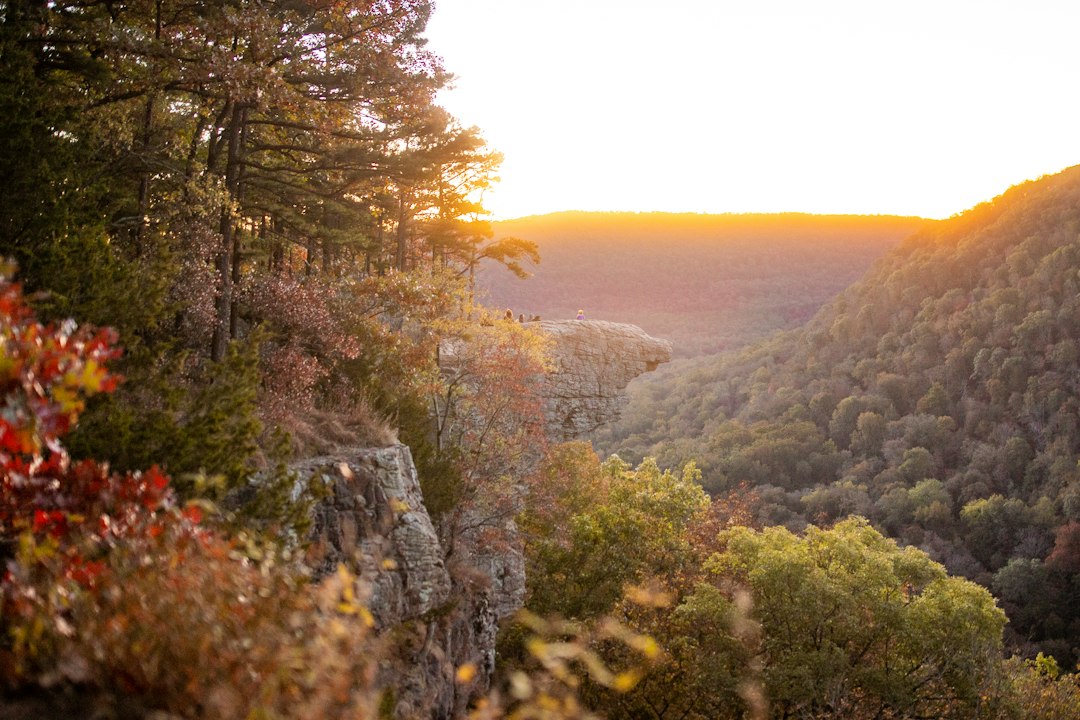
By the last week of October, most of the country’s leaf-chasing apparatus has packed up and gone home. New England is brown. Michigan’s Tunnel of Trees has dropped its curtain. The aspen ladders of Colorado are bare sticks above twelve thousand feet. And that is precisely when I load the truck and point it toward northwest Arkansas, because the Buffalo River country runs on a different clock — one that doesn’t really start ticking until everyone else’s has stopped.
I’ve been making this trip for six autumns now, and I’ve never once hit what anyone would call “peak weekend” too late. The Ozarks save their best color for the days when the rest of the map has gone quiet. The trade is that you have to know what you’re doing, because late October on the Buffalo asks different questions than a New England drive-by. It wants early alarms. It wants a plan for water levels. It wants you standing in a foggy field at 6:40 in the morning waiting for a 700-pound animal to walk out of the trees.
The River That Runs a Month Behind
Here’s the mechanism, because it matters if you’re timing a drive. Northern Arkansas sits far enough south that the sugar maples and sumacs don’t really ignite until mid-October — roughly the weekend the Upper Midwest is raking up. Then the main event arrives: the oaks and hickories, which make up most of the forest canopy down here, don’t turn until late October and hold their rust, copper, and gold into the first week of November. On good years, the color crawls downhill for a month straight, ridgeline to riverbank.
The Buffalo National River itself is 135 miles of free-flowing water, protected in 1972 as the country’s first national river. There’s no entrance gate and no fee, which sounds like trivia until you realize what it means practically: no reservation systems, no timed entry, no lottery. The river and its boxley-blocked valley bottoms are simply there, open, threaded by two-lane highways with pullouts where you can stand and watch the morning fog pour through the gaps like slow water. It is, in my opinion, the most underrated foliage destination in America, and I say that as someone who has written about plenty of the overrated ones.
We came at it from the north one recent October, tracing a route that started with Michigan’s Tunnel of Trees three weeks earlier in the season, and the contrast was instructive. Same species ambition, a tenth of the traffic. My crew and I counted eleven cars at the Steel Creek overlook on a Saturday. Eleven. Try finding that at Clingmans Dome in October.
Dawn Shift in Boxley Valley
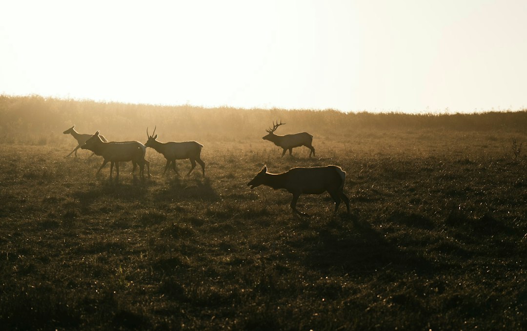
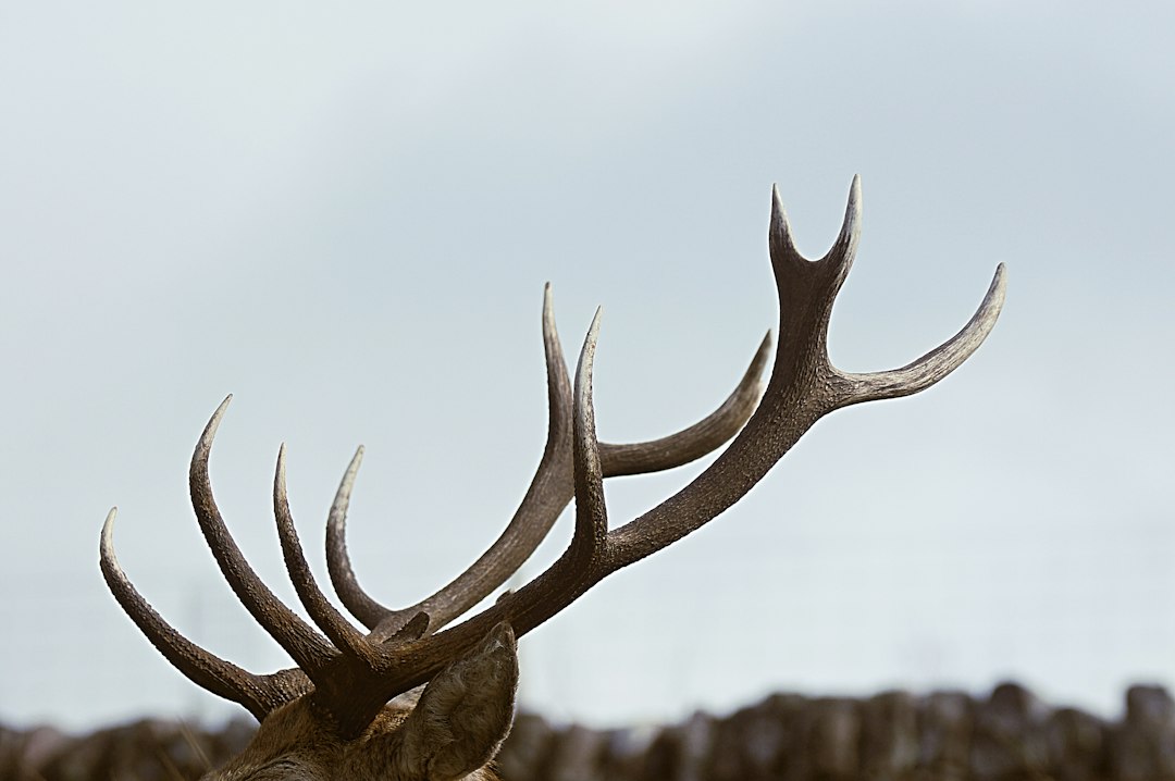
Start with the elk, because the elk start before you do. Elk are not native to your mental image of Arkansas, but they’re real — reintroduced in the early eighties, and the Boxley Valley herd now numbers around 450 animals that spend their days moving between the woods and the pastures along Highway 43 between Ponca and Boxley. In late October the rut is winding down, but the mornings still smell like tension. Bugling gets sporadic after mid-October, but the big bulls are still herding cows, still visible, still utterly indifferent to you.
The viewing rhythm is simple and unforgiving. Elk feed in the open fields just after sunrise and again in the late afternoon; in cool weather you’ll often catch them until 8 a.m., and they’re back by 4:30 or 5. Midday, they evaporate into the timber. So you drive the valley slow, working the pullouts along 43, and you bring optics.
A decent pair of compact binoculars changes the whole experience — the herd hangs back from the fence lines, and the difference between “some brown shapes” and “watching a satellite bull try to slip into the herd” is entirely a glass problem.
The etiquette matters as much as the timing. Stay at the pullouts, stay off private land — the fields you’re glassing are working cattle pastures — and give the animals the distance they deserve. I watched a photographer edge over a fence line for a closer shot two years ago and move a hundred-head herd half a mile in ninety seconds. Don’t be that person. The valley gives you plenty if you just stand still.
The Crag Before the Crowds
Hawksbill Crag — Whitaker Point, if you’re asking a local — is the shot. The sandstone overhang juts off Cave Mountain like the prow of a ship, floating above a valley of hardwoods that in late October looks like someone spilled every drawer in the paint cabinet. It’s a moderate 2.9-mile round trip with about 400 feet of gain, and on a weekday at dawn you’ll share it with a handful of people and a lot of quiet.
On a weekend afternoon in late October, you will share it with a line. This trail has gone from local secret to national Instagram fixture, and the crowds are the honest downside. The fix is scheduling, not avoidance: be at the Cave Mountain Road trailhead within an hour of first light. The road itself is rough gravel with some washboarding — take it slow in a regular car and you’ll be fine, or don’t take it at all in a rental you’re fond of. My team runs the shuttle logistics and I handle coffee; it’s a system that works.
One note on the crag itself: the overhang is genuinely exposed, and the pictures don’t convey how far the drop is past that lip. Late October often leaves the sandstone damp from overnight fog. Trust your feet more than your feed.
Lost Valley’s Basement Waterfall
If the crag is the poster, Lost Valley is the payoff for people who like their scenery with some architecture. The trail is 2.2 gentle miles up a collapsed canyon — a natural bridge you can walk under, a creek that disappears into the rock, and at the top, Eden Falls, a 53-foot ribbon of water dropping into an amphitheater of bluff. In late October the gorge funnels the color overhead and the light comes down green-gold and strange.
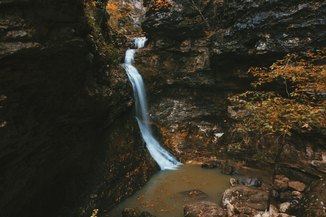
The part most people skip: the cave behind the falls. You can scramble maybe two hundred feet into Eden Falls Cave, where the waterfall comes through the ceiling in the dark. This is where I’ll make my one unapologetic gear demand — bring a real light. Your phone flashlight will not cut it in a wet sandstone cave, and the footing is genuinely uneven. A rechargeable headlamp lives in my daypack year-round for exactly this class of detour; it weighs nothing and it turns a half-mile cave scramble from tentative to easy.
To Float or Not to Float
The Buffalo in October is a coin flip, and you should know that going in. This is a wild river with no dam feeding it, which is its whole charm and its whole problem: by late fall the water is often low and slow, and the famous runs — Steel Creek to Kyles Landing, Ponca to Pruitt — can turn into rock-dodging exercises. Other years, an October rain rolls through and suddenly you’re floating through a burning corridor of oaks with the bluffs glowing overhead, and it’s the best float of your life. We hit one of those magic windows a couple of years back after a three-inch rain week, and the spring-fed rivers we floated that August never came close.
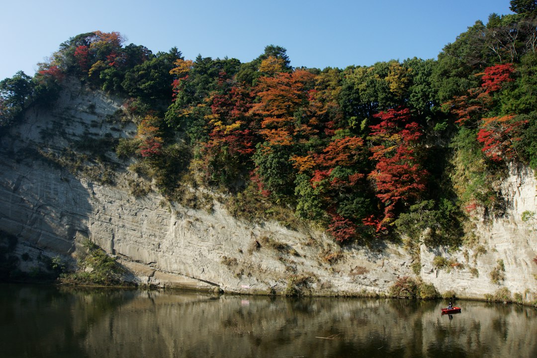
The move is to check the USGS gauge and call the outfitters in Ponca or Jasper before you commit — they run trips when the water’s up and tell you honestly when it isn’t. If floating’s off, the river doesn’t leave you stranded: the Steel Creek to Big Bluff day hike, the trails around Kyles Landing, and a dozen gravel-road overlooks eat an afternoon beautifully. Low water years are for walking high; that’s the whole Ozark deal.
What Late October Asks of Your Gear
Late October in the Ozarks swings thirty degrees between the elk-field alarm and the afternoon crag. Mornings run frosty — I’ve scraped ice off the windshield in Boxley at dawn and hiked in a t-shirt by two. Layering is not optional advice down here; it’s the difference between a great weekend and a miserable one.
My kit for this trip, field-tested across six autumns: a packable rain jacket that stuffs into its own pocket, because Ozark weather arrives sideways and without appointment; a pair of merino hiking socks per day, because wet grass at 38 degrees will humble you; and insulated waterproof boots, which handle the dew-heavy fields and the damp cave scrambles with equal indifference. This is the trip where I stopped pretending sneakers were a plan.
The thermos is not a joke item. Standing at a Boxley pullout waiting on elk, a 40-ounce vacuum bottle of coffee is the difference between patience and leaving early, and leaving early is how you miss things. We keep a little dual-fuel camp stove in the truck bed for roadside oatmeal between the morning elk shift and the afternoon trailhead — it has paid for itself a dozen times over. All of it rides in a 20-liter daypack that’s become my default hiking bag, and the phone mount on the dash earns its keep navigating the gravel-road maze east of Ponca, where cell service goes from thin to theoretical.
A word on acquiring all this without stress: if you’re not already a member, Prime membership is what lets you decide on this trip on a Tuesday and have the boots, the headlamp, and the thermos on your porch by Thursday — no-questions returns, free fast shipping, and a download library for the drive down. October windows are short. Shipping that takes a week is how people miss them.
A Weekend That Actually Works
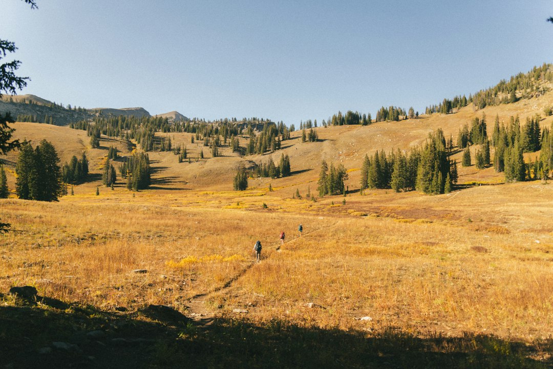
Here’s the shape of the trip I’d run, assuming a Friday-to-Sunday frame. Friday, drive in — the valley is 90 minutes from the Fayetteville airport, a half-day from Little Rock or Springfield — and sleep in Jasper or a cabin above Ponca. Saturday is the long day: elk fields at 6:30, Hawksbill Crag by 9 with the morning light still low across the valley, lunch in Jasper, then Lost Valley in the afternoon when the gorge catches its gold. Sunday morning is the flex slot — one more elk shift, or the float if the water came up, or the overlooks on Highway 7 south toward Hot Springs if you want to stretch the weekend into a second act.
Lodging fills up on October weekends — slowly compared to a national park, but the good cabins and the Ponca campground don’t have many mistakes in them. If the valley’s booked out, base yourself in Jasper and drive the twenty minutes north each morning; the town’s tiny, friendly, and sits at the junction of everything. Pairing the trip with Eureka Springs on the way in or out turns it into a full week if you have the days.
Before You Point the Car South
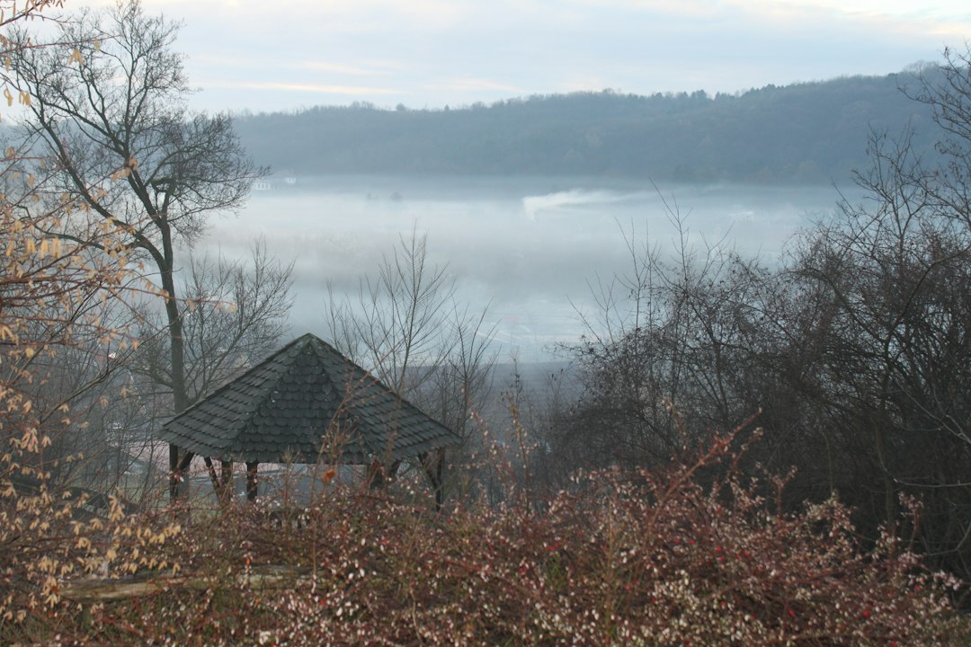
Fill the tank in Jasper — gas gets scarce and the stations keep rural hours once you’re up on the gravel. Download offline maps; the valley’s dead zones are honest ones. Bring more patience than itinerary. The morning I’m remembering best, we saw the fog pour through Boxley at dawn, a herd of forty elk cross a pasture before anyone else arrived, and the crag at 9 a.m. with three other people on it. That’s not luck. That’s just showing up three weeks after everyone else decided fall was over.
Somebody has to be the last one at the party. Down here, the party’s just getting started.
1 thought on “Everyone Leaves Too Soon: The Buffalo River’s Second Fall”