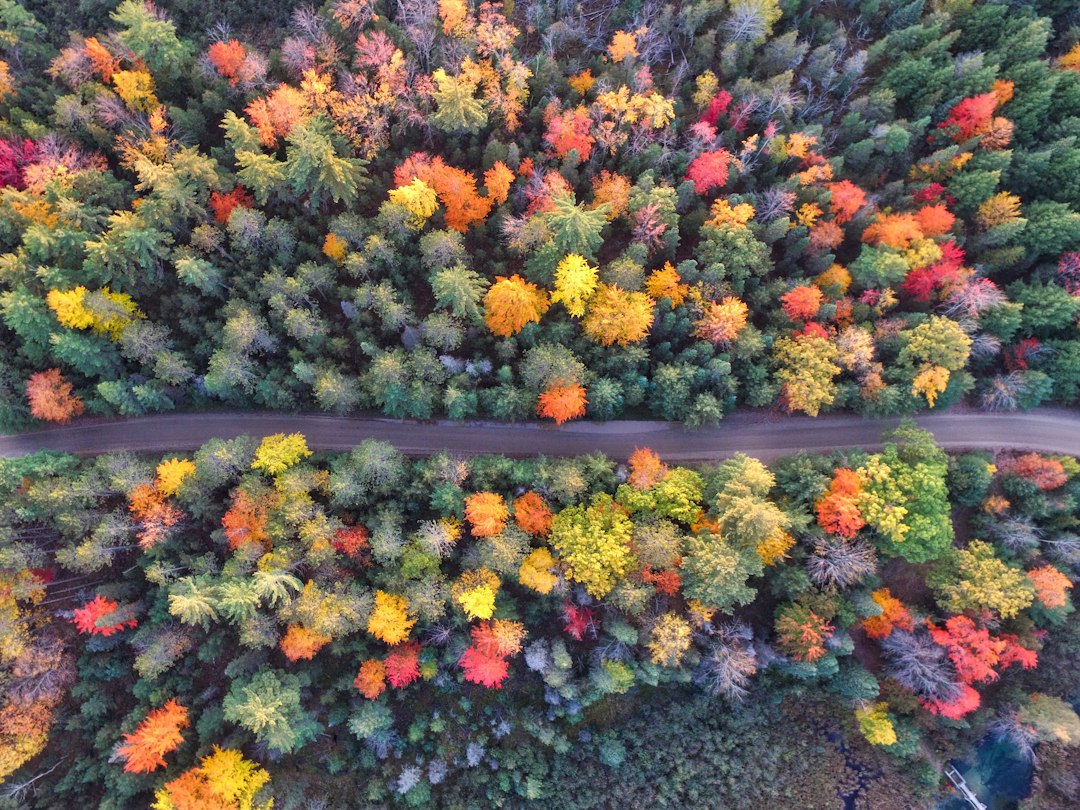
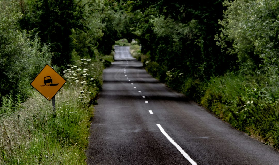
The first thing you notice on M-119 north of Harbor Springs is what’s missing. No center line. No shoulder worth the name. Just two narrow lanes of asphalt slipping under a canopy of maple, beech, oak, and hemlock that closes overhead like the entrance to somewhere older than Michigan’s tourist brochures admit. My co-driver had the map folded wrong twice before we gave up on the map entirely, and honestly, that’s the correct way to arrive here: slightly disoriented, fully slowed down.
This is the Tunnel of Trees, a twenty-mile stretch of lakeshore highway that locals treat less like a road and more like a commitment. Drive it once in mid-October and you’ll understand why people plan entire weekends around a stretch of pavement that would take twenty minutes if you let it. Don’t let it.
A Road That Refuses to Be a Highway
Officially, this is the M-119 Scenic Heritage Route, running from Harbor Springs up the Lake Michigan bluff line to the tiny town of Cross Village. Unofficially, it’s the prettiest argument against highway engineering in the Midwest. The road curves and dips with the contour of the bluff instead of fighting it, narrowing in places to the point where two RVs passing each other becomes a negotiation involving mirrors, prayer, and one driver folding in a side mirror out of pure instinct.
The canopy is the headliner. In summer it’s a green tunnel; in October it becomes a burning one, with sugar maples going orange-red against beech gold and the dark hemlocks holding the whole composition together. My photographer on this trip shot the same curve four times because the light kept changing under the trees — sun through autumn canopy does that strobing thing you can’t plan for, only catch.
Cyclists love this road the way surfers love a specific break, so share it accordingly. If you’re behind a line of bikes and a slow Corvette parade (peak weekends have both), consider it part of the ticket price. Low autumn sun off Lake Michigan throws glare across the windshield at odd hours too — I keep polarized sunglasses in the center console year-round for exactly this kind of driving, and this road justifies them more than any interstate ever has.
First, the 2026 Catch: Washouts, Detours, and What’s Actually Open
Here’s what nobody’s postcard tells you: this road had a brutal year. An April washout after heavy rain and snowmelt tore out sections of M-119, and the repairs have been rolling out in stages all season. As of late September, the major washout zone near Division Road has reopened, but the road remains closed in two spots — one near Division Road until summer 2027, and the famous stretch at Devil’s Elbow indefinitely, with traffic detoured inland along West Stutsmanville, Townline, Church, and Robinson Roads.
Translation for leaf-peepers: you can still do the drive, and it’s still spectacular, but you’ll hop off and back onto M-119 around the closures. The stretches south of the work — including the Pond Hill Farm and Thorne Swift area — are accessible straight out of Harbor Springs. Cross Village and the Legs Inn sit at the north end, reachable via the signed detour. A solid phone mount earns its keep on this trip; the detour routing is well-signed but the turns come up fast on narrow county roads, and fumbling a phone through a curve up here is a bad trade.
Check the MDOT and Petoskey Area visitor bureau pages the week you go, because the closures have shifted twice since spring and the map of what’s open has effectively become part of the experience. If backroads rerouting sounds like stress rather than adventure, honestly, wait a season. The road will still be here. So will the color.
Timing the Color: Why the Lake Makes the Calendar Weird
Lake Michigan messes with fall up here, in a good way. The water holds summer heat into October, so the trees closest to the shoreline turn later than the ones even a few miles inland. Peak color along M-119 typically lands mid-to-late October — a full week or two behind the inland U.P. spots. That makes the Tunnel of Trees one of the last great color drives in the Midwest every year, which is exactly why we pointed the car north this particular week.
The play is the same one I wrote about in my fall foliage forecast guide: chase elevation and latitude, but let the big water buy you time. Go on a Tuesday if you possibly can. On peak weekends in good years this road runs bumper-to-bumper by eleven; we rolled out of Harbor Springs at 8:40 a.m. and had long stretches of the tunnel entirely to ourselves, the only sounds being tires on cold asphalt and somewhere behind us, a pileated woodpecker going at a dead birch like it owed him money.
Rolling Out of Harbor Springs
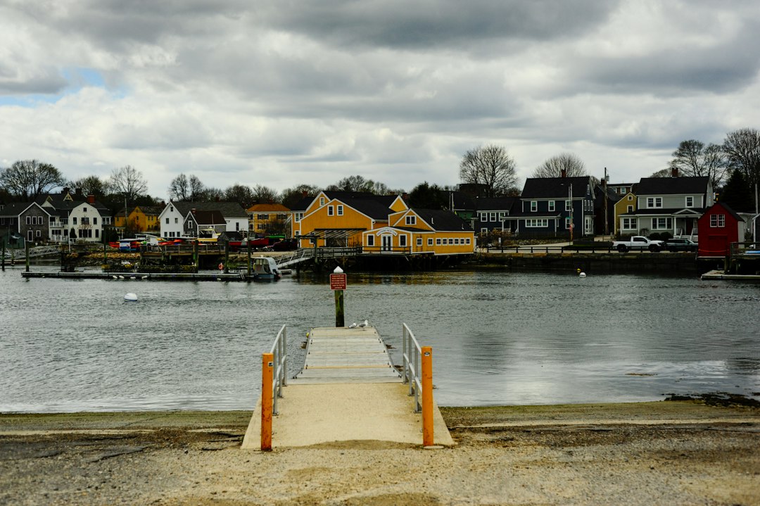
Start fueled, fed, and caffeinated, because Harbor Springs is the last place on this route that offers all three at once with any confidence. It’s a genuinely lovely little resort town — a deep natural harbor, cottages climbing the hillsides, a walkable main street. Our tradition has become a stop at Tom’s Mom’s Cookies downtown; grab a bag of whatever came out of the oven last and a coffee, and if the morning is cold enough that the steam curls off the cup, you’ve timed it right. A vacuum-sealed travel mug keeps that coffee drinkable through two hours of stops, which matters more than it sounds like it would.
From town, M-119 hugs the water briefly, past marinas and lake homes, and then the trees start closing in. Within ten minutes of the last stoplight you’re in the tunnel proper, and the pace drops whether you planned it to or not.
Pond Hill, Good Hart, and the Art of the Slow Stop
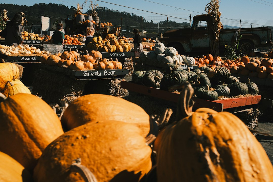
Five miles up you’ll reach Pond Hill Farm, a working farm with a market, a tavern, and the kind of squash display that makes my photographer block traffic in the parking lot. October means pumpkins stacked like cannonballs, hay bales, fresh cider, and a lunch menu that’s better than a road this size deserves. This is also your last real food stop before Cross Village, so calibrate accordingly.
Ten miles farther, the hamlet of Good Hart appears — blink and you’ll miss everything except the reason you came. The Good Hart General Store has been the social center of this crossroads since the 1930s, a weathered, authentic piece of northern Michigan that sells groceries, souvenirs, and baked goods that draw their own pilgrimage. The pastries come out in waves; when a tray hits the counter, the regulars move with the quiet urgency of people who have done this before. We got the last two pot pies one October and I still think about them.
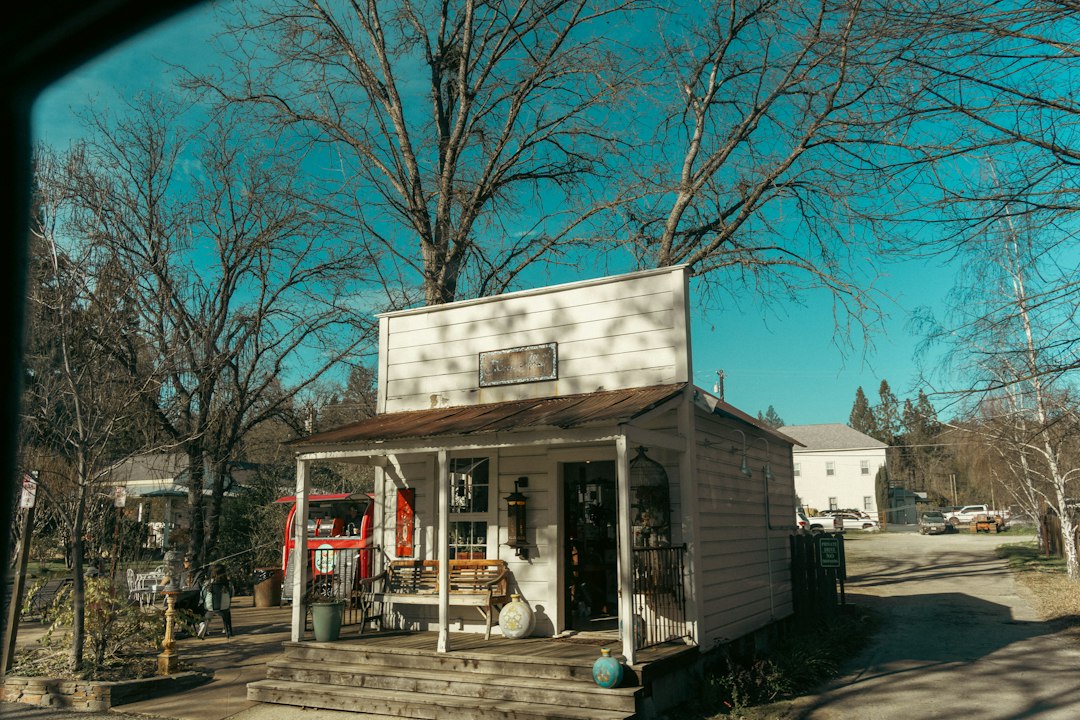
Just past the store, a short trail at Thorne Swift Nature Preserve runs through quiet woods to Lake Michigan beach — a chance to stretch legs and let the road clear ahead of you. The beach at the end is all stones and driftwood and open horizon, and on clear days you can watch freighters crawling the far-off shipping lanes. A pair of compact binoculars lives in my door pocket from September through November precisely for freighter-watching and the occasional bald eagle; they’ve paid for themselves ten times over on this lake.
Devil’s Elbow and the Section You Can’t Have
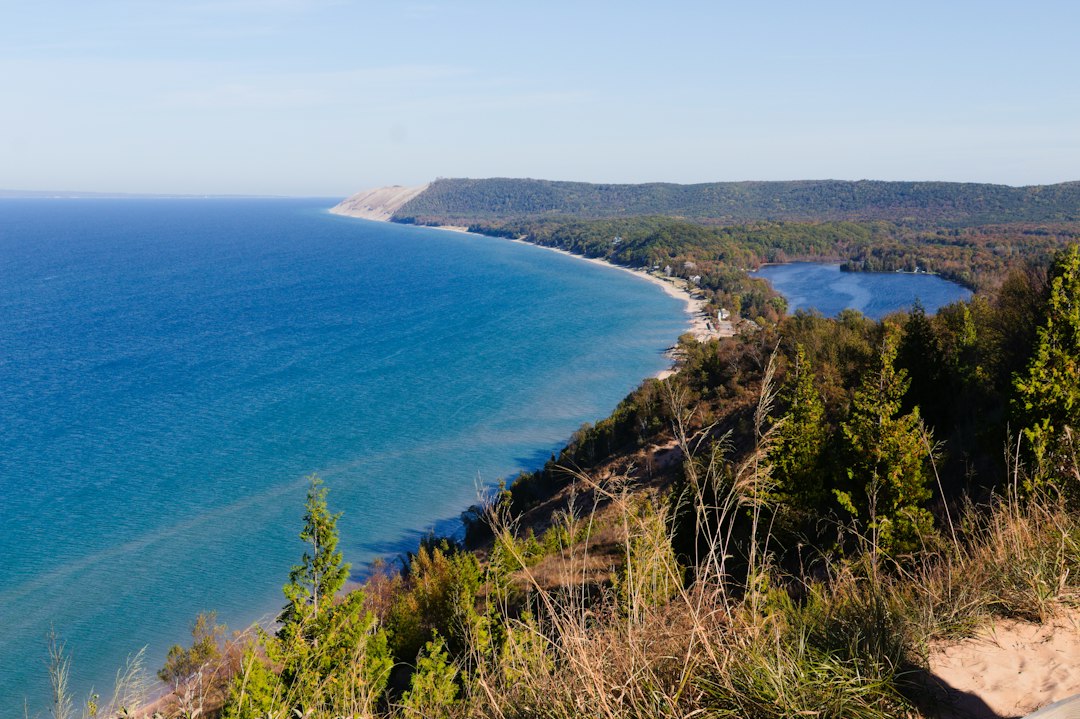
The road’s most famous curve — Devil’s Elbow, a tight bend where the tunnel effect peaks and the bluff drops away toward the water — is inside the indefinite closure zone this year, which stings. It’s the single most photographed hundred yards of M-119, and if you’ve seen a postcard of this road, you’ve probably seen the Elbow. This October you’ll have to enjoy it the way most people enjoy most things: through other people’s photos and next year’s plans.
The consolation is that the tunnel effect is not one spot; it’s twenty miles of it. The open stretches south of the closure carry the same canopy, the same narrow intimacy, and — this year at least — far fewer tripods in the ditch. After a rain, the newly repaired sections of road smell like cut wood and wet leaves, and the whole corridor feels briefly brand new.
Cross Village and the Legs Inn Payoff
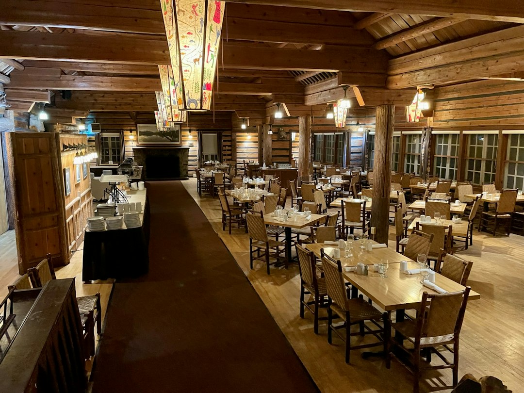
Where the tunnel finally releases you, Cross Village sits small and unhurried — a church, a few houses, and one of the strangest, most beloved restaurants in Michigan. The Legs Inn is a stone-and-timber lodge built by hand across decades by a Polish immigrant family, and it looks like exactly what it is: a folk-art fever dream that happens to serve exceptional pierogi. The interior is all carved wood and fieldstone, the stone terrace out front is draped in sculpture built from driftwood and found objects, and the whole place is on the National Register of Historic Places for reasons that become obvious the moment you walk in.
The kitchen leans Polish — pierogi, duck, sausage, cabbage — and the polish comes from the menu rather than the floorboards. They run seasonal hours and the fall color rush is their high season, so book ahead on weekends. Our table of five demolished two boards of appetizers while debating whether the dining room or the terrace was the better seat in the house. The terrace won. It always does up here.
One More Day: Wilderness State Park and the Mackinac Ferry

If the drive leaves you wanting more — it will — you’re twenty minutes from Wilderness State Park, which has miles of Lake Michigan shoreline, quiet trails through more color, and designation as one of Michigan’s dark sky parks. Stay for sunset and the stars afterward; the Milky Way does not care about your cell signal, and up here, there isn’t any. We keep a heavy wool blanket in the trunk from October onward, and the shoreline at dusk at Wilderness is precisely the kind of place it exists for.
Mackinaw City and the ferries to Mackinac Island are another fifteen minutes north, which opens a two-day combo I’d stack against any fall weekend in the country: the Tunnel of Trees on Saturday, then the island with the crowds gone — the case I made at length in my Labor Day and-after piece on Mackinac. And if you want the full Michigan fall sweep, the Porcupine Mountains out west run a week or more ahead of this coastline color-wise; my Porkies peak-week field guide covers that side of the state. The same Lake Michigan country continues on the far shore, too — Door County after cherry season makes a natural bookend trip.
The Kit That Makes a Slow Road Better
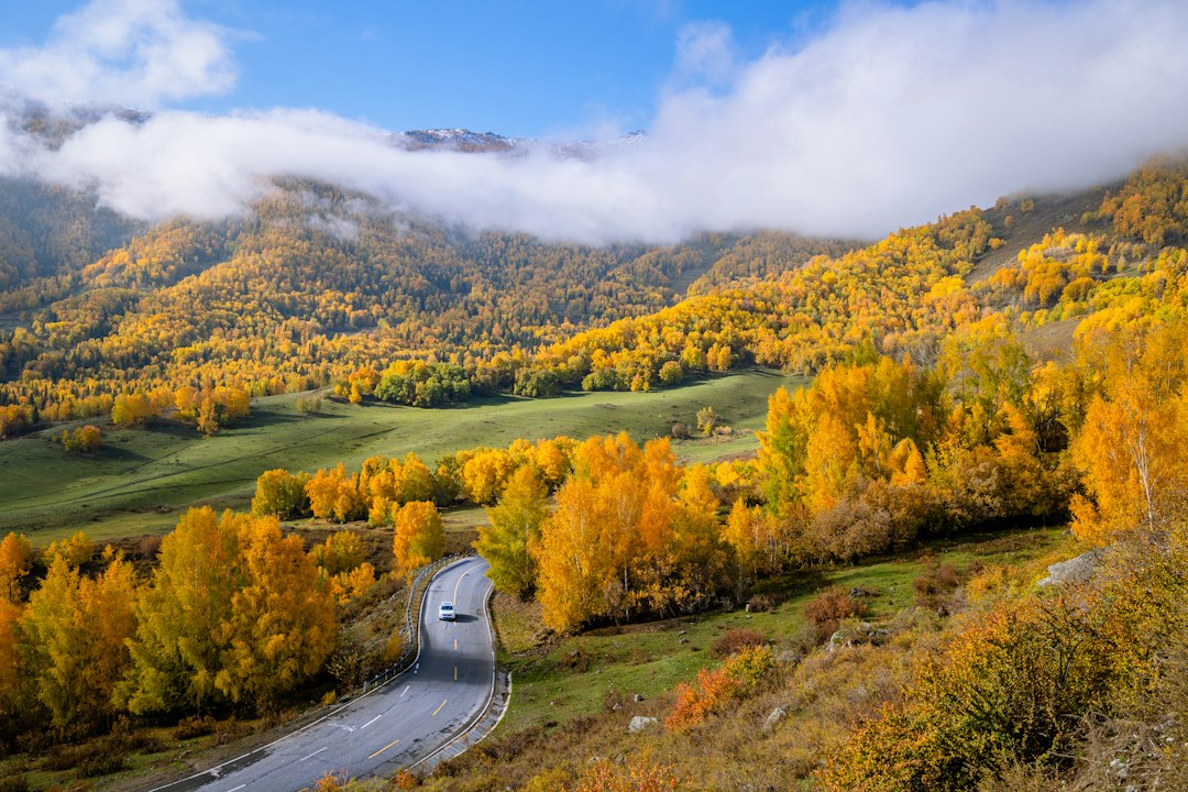
A road like this rewards a certain amount of gear humility — you need less than you think, but the few things you do need matter. Beyond the sunglasses and the phone mount, three items have earned permanent spots on M-119 trips. A dual dash cam has become my favorite road-trip indulgence, not for insurance paranoia but because the tunnels of color look even better at playback speed, and a narrow no-center-line road with active closures is exactly where you want a second set of eyes. A 16-ounce insulated tumbler for whoever’s riding shotgun keeps the passenger hydrated through the stop-and-go. And because this road literally washed out this year, on a corridor with long dead zones for cell service, a roadside emergency kit in the trunk is less paranoia than arithmetic.

On navigation: offline maps downloaded before Harbor Springs, plus — I’ll defend this to the end — a paper road atlas in the door pocket. When the detour signs route you onto Church Road and your phone decides this is a fine moment to think about loading, paper does not think about loading. Paper just knows where Cross Village is.
Field Notes: Gas, Weekends, and the Math of Going Early
Fill the tank in Harbor Springs; fuel north of town is scarce enough that planning around it is easier than finding it. Bathrooms and coffee follow the same rule. Peak weekend afternoons in strong color years can turn the tunnel into a slow parade, and with the 2026 detours funneling cars onto county roads, the earlier you start, the more of the road you get to yourself. Aim for a weekday sunrise start with breakfast in town, Legs Inn for a late lunch, and Wilderness State Park for the evening show.
Twenty miles, no center line, one rebuilt road, and a two-week color window that the lake keeps propping open long after the rest of the Midwest has gone brown. Michigan has bigger fall names, but it doesn’t have a better fall drive than this one — even, it turns out, in the year the road tried to wash itself away.
1 thought on “Twenty Miles, No Center Line: Driving Michigan’s Tunnel of Trees Through Its Strangest Fall”