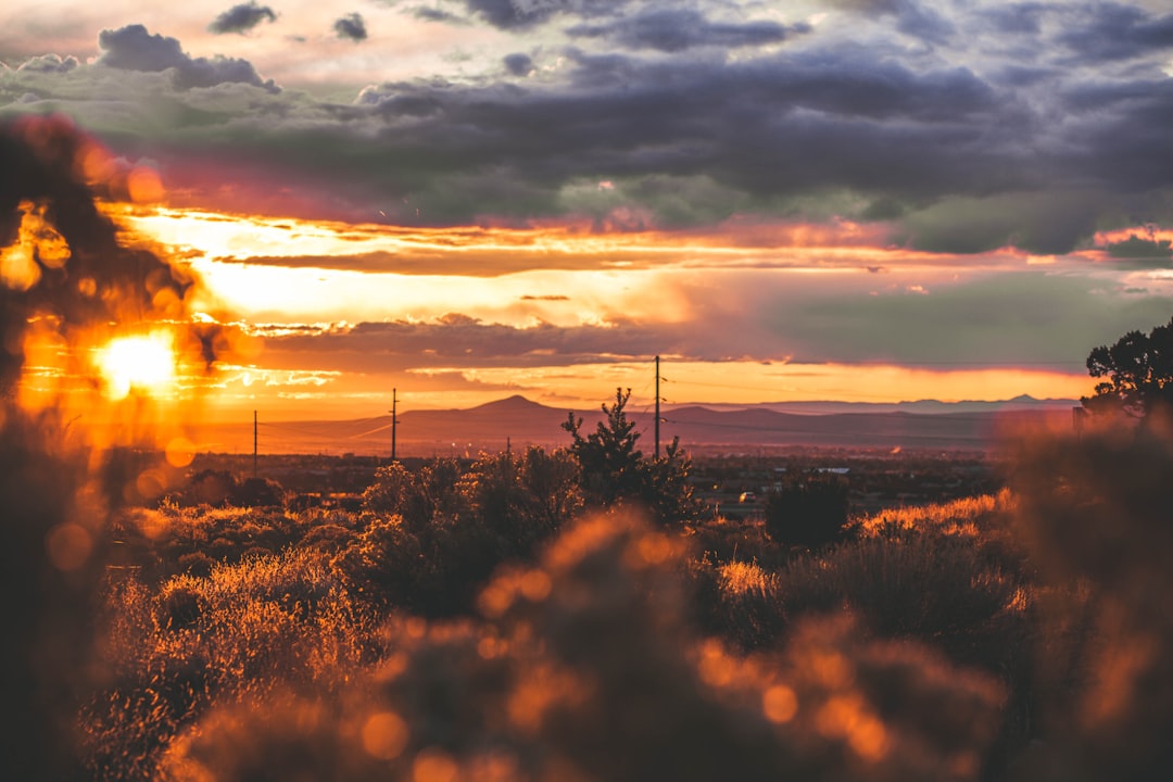
There’s a stretch of highway in northern New Mexico where the sky does something unfair. It starts out the regular blue you get everywhere else in America, and then somewhere around Questa — elevation 7,400 feet — it deepens into a shade of turquoise that doesn’t quite look real. I had to pull over and stare at it for a while. My photographer, who’s been shooting landscapes in the Southwest for over a decade, just shook her head and said, “Yeah, it does that up here.”
That sky is the backdrop for the Enchanted Circle — an 83-mile scenic loop that connects Taos, Questa, Red River, Eagle Nest, and Angel Fire before swinging back to where you started. It’s the kind of drive that ruins you for interstate highways. One minute you’re climbing through ponderosa pine forests that smell like warm vanilla. The next you’re dropping into a high-alpine valley ringed by Sangre de Cristo peaks that turn blood-red at sunset. And the whole thing takes about three hours if you don’t stop — but you will stop. Over and over.
Our team spent five days exploring the circle and the towns along it, and I’m still processing how much ground there is to cover. This isn’t a drive you tick off a list. It’s a region you sink into.
Starting in Taos: Where Ancient and Artsy Collide
We began where most people do — Taos. The town sits at about 6,950 feet, which means the July heat that turns Phoenix into a convection oven never really arrives here. Mid-summer daytime highs hover around 84°F, and when the sun drops behind the mountains, you’re reaching for a fleece. If you’ve read my piece on high-altitude towns where July forgot to bring the heat, you already know the math. Thin air, cool breeze, zero regret.
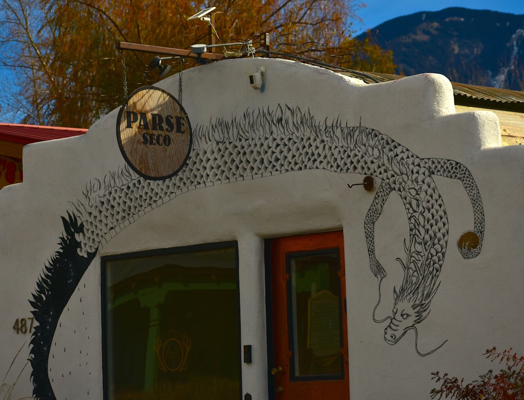
Before hitting the circle, spend at least a morning at Taos Pueblo. The multi-story adobe structures have been continuously inhabited for over 1,000 years — UNESCO World Heritage status, and genuinely mind-bending to walk through. The walls are feet thick in some places, hand-formed from earth, straw, and water. Our guide, a tribal member whose family has lived in the pueblo for generations, explained how the architecture naturally regulates temperature: cool in summer, warm in winter, no HVAC required. Ancient engineering that puts modern green building to shame.
The town itself is a rabbit hole of art galleries, coffee shops, and characters. Taos has been a magnet for artists since the 1890s, and the creative residue is everywhere. I lost an hour in a gallery on Ledoux Street staring at a painting of the Rio Grande Gorge that somehow captured the exact quality of light at the exact time of day I’d photographed the morning before. The gallery owner told me that’s why artists keep coming here — the light has a quality that’s difficult to describe but impossible to ignore. High desert air, minimal humidity, and the way mountains bounce shadows around the valley create a luminosity you don’t find at sea level.
The Rio Grande Gorge: A Mile-Deep Surprise
Here’s something that caught me off guard: northern New Mexico has a gorge that makes you think, “Wait, this is in America?” The Rio Grande Gorge is a crack in the earth that runs for miles, dropping 800 feet from rim to river in places. You don’t see it coming. You’re driving across flat high-desert plateau, and suddenly there’s a bridge — the Rio Grande Gorge Bridge, 565 feet above the water — and the world just opens up beneath you.
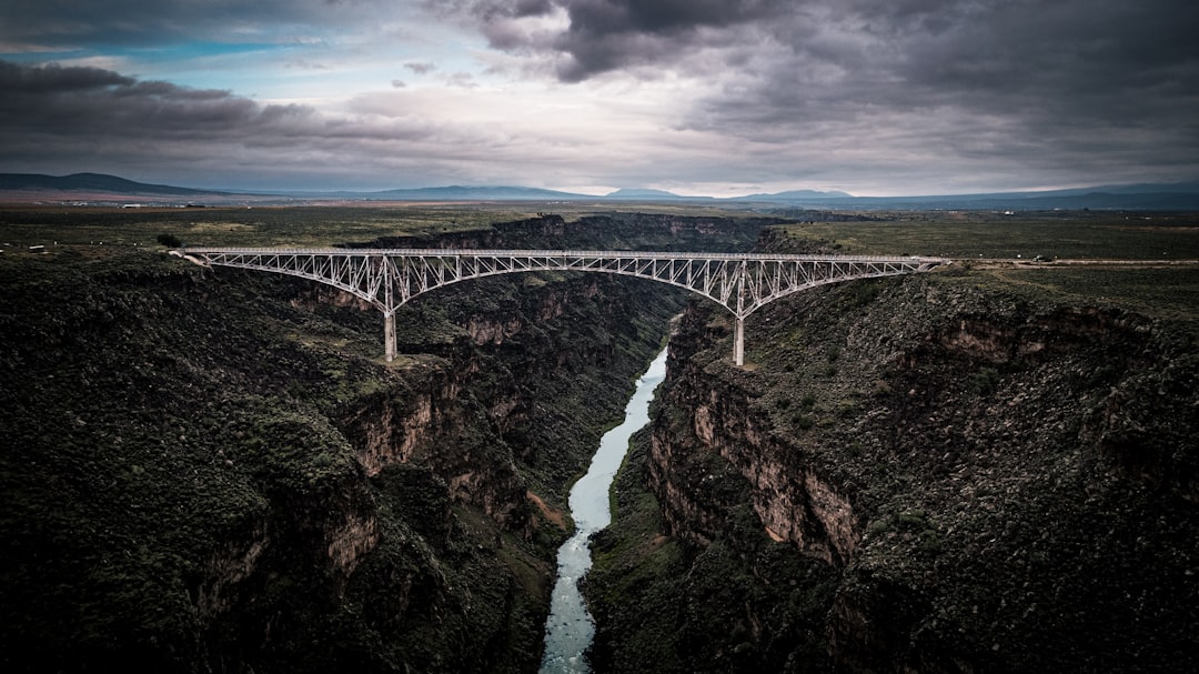
We parked at the visitor overlook and walked out along the bridge pedestrian lane. The wind was significant — this is a consistent feature of high-desert topography — and I was grateful I’d thrown a UPF 50+ sun hat with a neck flap into my pack that morning. The sun at this elevation is no joke. There’s roughly 25% less atmosphere filtering UV at 7,000 feet compared to sea level, which means you can burn in 15 minutes even when the air feels cool. After the sunburn incident I documented in my sun protection kit breakdown, I don’t mess around with this anymore.
The gorge is also a fantastic spot to watch for bighorn sheep. We spotted a small group on the western wall, picking their way along ledges that would give a rock climber pause. Bring binoculars if you have them, or at minimum a decent pair of polarized sunglasses — the glare off the gorge walls is intense, and the sheep blend in with the rock remarkably well.
Driving the Circle: Questa to Red River
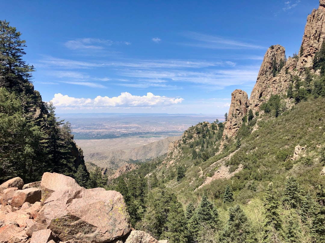
From Taos, the circle heads north on NM-522 toward Questa. This is the quiet stretch — open road, big sky, and very little traffic. Questa is a small village that serves as the gateway to the Wild Rivers Recreation Area, where the Rio Grande and Red River converge in a dramatic double canyon. If you have time for a hike, the La Junta Trail drops 800 feet to the confluence of the two rivers. It’s only about a mile and a half round trip, but it’s steep, and the temperature at the bottom is noticeably warmer than at the rim.
For footwear on trails like this, I’d packed a pair of trail shoes that could handle both the rocky descent and the pavement-walking in town. The New Balance DynaSoft trail runners I’d picked up before the trip handled both without complaint — grippy on the volcanic rock, comfortable on the pavement, and they didn’t look like I was wearing hiking boots to dinner. My editor swears by her Columbia Newton Ridge waterproof hiking boots for the same dual-purpose reason, though she admits they run a little warm in August.
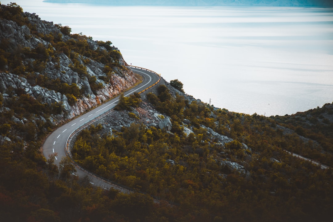
The drive from Questa to Red River climbs through the mountains via NM-38, and this is where the circle earns its “scenic” designation. You gain nearly 2,000 feet of elevation as the road switchbacks through aspen groves and pine forest. At Bobcat Pass — elevation 9,820 feet — there’s a pullout that delivers one of the most expansive views in New Mexico. On a clear day you can see the Wheeler Peak ridgeline, the highest point in the state at 13,167 feet.
Hydration at this elevation is non-negotiable. The combination of dry air, wind, and altitude means you’re losing moisture faster than you realize — I was draining a 32-ounce insulated water bottle every couple of hours and still feeling parched. We added electrolyte tablets to our water after day two, and the difference in energy levels was immediate. The headache and sluggishness I’d attributed to altitude? Mostly dehydration. Lesson learned.
Red River: The Mountain Town That Refuses to Be Trendy
Red River is a former mining town that turned ski resort, but it hasn’t been polished into the kind of place you see in luxury travel magazines. The main street is a handful of blocks long, lined with buildings that look like they’ve been there since the 1800s — because many of them have. There’s a specificity to this town that I found refreshing. It knows what it is.
We grabbed lunch at a spot on Main Street where the green chile cheeseburger arrived in about seven minutes and tasted like it had been made by someone who cared. New Mexico’s green chile is a religion here — the Hatch variety gets the marketing, but the northern New Mexico chiles grown around the Taos area have an earthy, smoky quality that’s distinctly different. If you see “Christmas” on a menu (meaning both red and green chile), order it. It’s the state question: “Red or green?” Answering “Christmas” is the move of someone who refuses to compromise.

The town is surrounded by hiking trails, fishing streams, and off-road vehicle routes that keep the summer crowds busy. We took the ski area’s chairlift to the summit for the view alone — 360 degrees of mountain ranges, with the Moreno Valley spread out below like a topographic map come to life.
Eagle Nest and the Moreno Valley
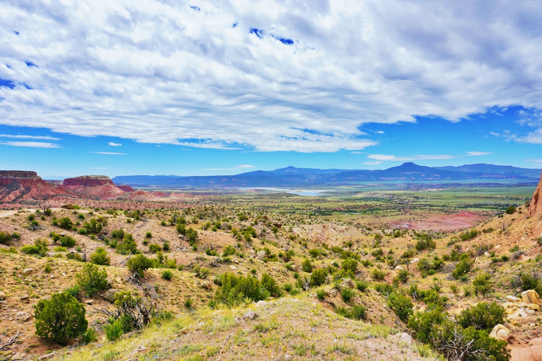
Dropping down from Red River into the Moreno Valley feels like the road has been holding out on you. After miles of dense forest, the trees part and suddenly you’re looking at a wide-open alpine valley with a six-mile-long lake glinting in the middle of it. Eagle Nest Lake sits at 8,200 feet, ringed by mountains, and the light hits the water in a way that makes photographers earn their keep.
This is primo territory for a road-side picnic, which is where having a decent road trip cooler pays for itself. We’d loaded ours with green chile stew from a Taos restaurant, tortillas, fruit, and cold drinks — ate better than anything we’d find at a gas station for a fraction of the cost. If you’re planning a similar move (and you should), the road trip food strategy I put together earlier this year has the full playbook.
For a softer-sided option that’s easier to pack when empty, the collapsible soft cooler we carried handled 30 cans worth of volume and kept ice solid for a full day in 85-degree heat. Not bad for something that folds flat when you’re done with it.
Angel Fire: The Name Is Not an Exaggeration
The final stop before the circle closes back toward Taos is Angel Fire, a resort town named for a phenomenon the Ute people called “fire of the angels” — luminous atmospheric effects that occur when alpenglow hits the peaks at certain angles. I didn’t witness the full effect, but I did watch the mountains above town turn a shade of rose-gold at sunset that made me understand why someone would name a place after it.
Angel Fire is also home to the Vietnam Veterans Memorial State Park, which is worth a stop regardless of your connection to the war. The chapel sits in a natural amphitheater of mountains, and the silence up there is the kind you can feel in your chest.
From Angel Fire, the drive back to Taos on US-64 takes you through more high-desert landscape, past more formations that look like they were designed by a geology professor with a flair for the dramatic. The whole loop, with stops, took us two full days — and we were moving fast. If I came back, I’d budget four or five.
What to Pack for High-Desert Exploring
Northern New Mexico in summer is a land of extremes. The temperature can swing 40 degrees between noon and midnight. The sun is intense, the air is dry, and the elevation makes everything more physically demanding than it would be at sea level. Here’s what I was glad to have:
- A lightweight 20L daypack that could handle water, snacks, extra layers, and camera gear without feeling like a backpacking rig. At this altitude, every unnecessary ounce matters.
- A LifeStraw personal water filter for trail hikes where the water sources looked sketchy. Northern New Mexico’s backcountry streams are generally clean, but I don’t gamble with giardia. The Sawyer Mini filter is another solid option that screws onto standard water bottles.
- A compact first aid kit — mine lives in my car permanently, and it earned its keep on this trip when my photographer cut her finger on volcanic rock at the gorge. Nothing serious, but band-aids and antiseptic wipes are not something you want to be without at 7,000 feet.
- The Katadyn BeFree collapsible filter bottle was the MVP for day hikes — drink straight from any stream without stopping to filter. One liter capacity, weighs almost nothing, and rolls up when empty.
Timing Your Trip
Late July through September is monsoon season in northern New Mexico, which sounds intimidating but is actually one of the best windows for visiting. Mornings are typically clear and sunny. By early afternoon, clouds build over the mountains and you might get a brief, dramatic thunderstorm — the kind that lights up the sky, dumps rain for 20 minutes, and moves on. The light after a monsoon storm is some of the most dramatic I’ve ever photographed.
The key is to be off exposed ridges and summits by early afternoon when lightning becomes a risk. We adopted the local convention: hike early, eat lunch during the storm window, explore towns or drive scenic routes in the afternoon. It’s a rhythm that works with the weather rather than against it.
August is also when the wildflowers peak in the high country. The meadows around Eagle Nest were covered in Indian paintbrush, lupine, and wild delphinium when we drove through. Combined with the monsoon clouds rolling over the peaks, it looked like a Bob Ross painting that had escaped its frame.
The Bottom Line
The Enchanted Circle is one of those American drives that somehow flies under the radar while the national parks an hour or two in either direction get all the attention. There’s no entrance gate, no timed-entry reservation system, no shuttle bus. Just 83 miles of two-lane highway through some of the most dramatically varied landscape in the lower 48. Ancient pueblos, mile-deep gorges, alpine valleys, mining towns, ski resorts, and a quality of light that has been making artists cancel their return tickets for over a century.
If you’re planning a road trip through the Southwest — or looking for a destination that combines outdoor adventure, cultural depth, and zero crowds — put northern New Mexico on your list. And if you’re mapping out scenic drives, pair this with the Blue Ridge Parkway for a one-two punch of American scenic byways that will recalibrate your standards for what a road trip can be.
Just bring sunscreen. And a fleece. And probably electrolyte tablets. The high desert doesn’t care what you thought the weather would be.
2 thoughts on “The Enchanted Circle: Why Northern New Mexico’s 83-Mile Loop Is the Southwest’s Best-Kept Road Trip”