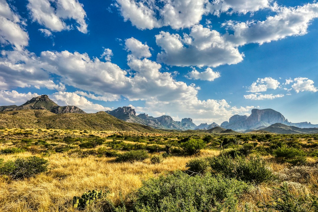
There’s a moment on US-385, somewhere south of Marathon, Texas, when the last radio station collapses into static and the road ahead just… keeps going. No billboard, no gas station, no cell bars. Just asphalt stitched across a desert that looks genuinely empty until you learn how to read it. That’s the drive into Big Bend National Park, and it’s the first lesson the park teaches: remoteness isn’t a bug here. It’s the entire product.
Big Bend sits at the southern hinge of Texas, 801,000 acres of Chihuahuan Desert, volcanic rock, and one stubborn green mountain range, all bent around a big loop of the Rio Grande. It’s larger than Rhode Island. The closest real grocery store is an hour-plus north in Alpine. And for roughly half the year — May through September — the low desert runs so hot that rangers semi-seriously warn you off hiking after ten in the morning.
Then October arrives, the furnace clicks off, and the park quietly switches on its real season. I’ve made the trip in spring break crowds and I’ve made it in October, and I’m never making the first mistake again.
The Heat Finally Punches Out
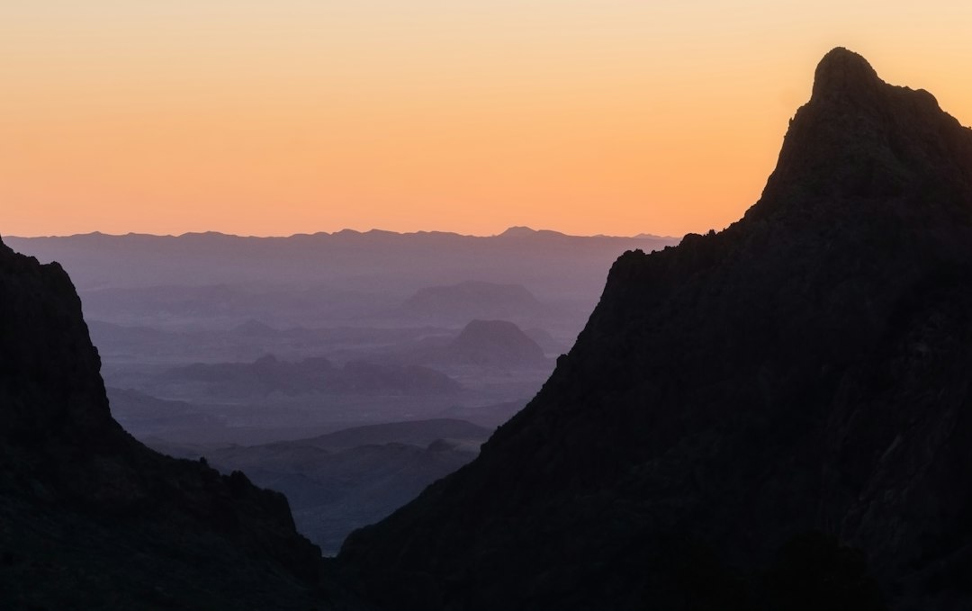
Desert parks run their calendars backwards, and Big Bend is the Texan chapter of that story. While leaf-season travelers are chasing maples up north, the Chihuahuan Desert is having its opening day. By mid-October, days drift between the 70s and upper 80s down by the river, the Chisos Basin runs a good ten degrees cooler, and nights drop into the 50s — cold enough that you’ll want a real jacket for stargazing. We wrote about Death Valley’s similarly flipped season last month, and the same logic applies: what looks like “off-season” on a calendar colored for Vermont is actually peak season out here.
Two honest caveats. First, October can still throw a late hot spell, so check the forecast before you commit to a big hike on a specific day. Second, this is shoulder season, not empty season — spring break remains the park’s circus, but October weekends fill the Basin campground and the lodge fast. Book early or arrive with a plan B in Terlingua.
Mornings Belong to the Chisos
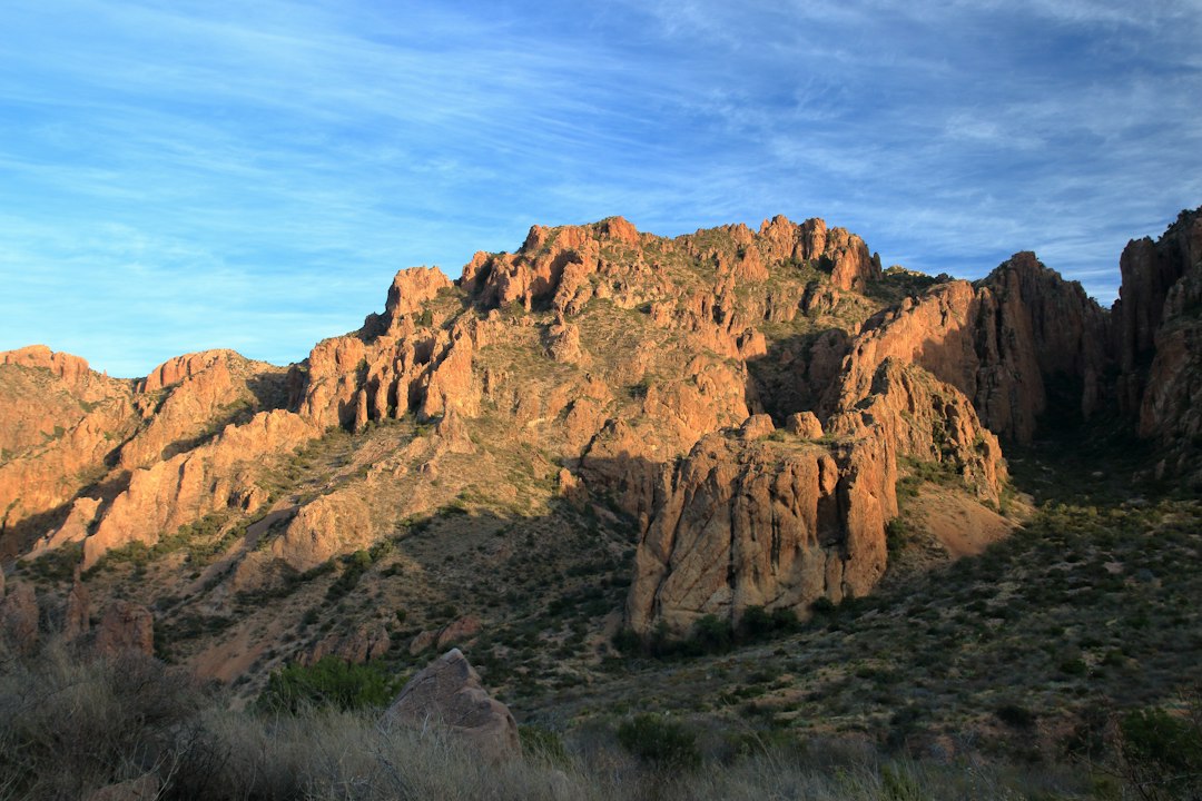
Rise out of the desert floor at 5,400 feet and you find the Chisos Mountains, a green stone island that floats above the heat like it belongs in another state. It nearly is one: the range is the only mountain chain in the entire national park system contained entirely inside a single park’s borders. In October the oaks and piñon pines on its flanks catch the first cool weather of the year, and the mornings up there feel stolen from a completely different trip.
Two trails define a Chisos visit. The Lost Mine Trail is 4.8 punishing-gorgeous miles round trip, gaining over a thousand feet to a ridgetop view that my trail partner declared, mid-bite of a granola bar, “the best four miles in Texas.” She wasn’t wrong. The South Rim is the legendary one — twelve-plus miles round trip to a cliff edge where the desert drops away a thousand feet in every direction. Budget the whole day, carry more water than feels reasonable, and start before the sun clears the rim.
Speaking of water: the park’s rule of thumb is a gallon per person per day on the trail, and my crew treats that as a floor, not a target. I run a 30-liter daypack for Chisos days — something in that size class swallows a three-liter reservoir plus layers — and the wide-brim hat I’ve hauled through three deserts now earns its keep on the exposed switchbacks.
Keep an eye out for the black bears. They recolonized the Chisos on their own from Mexico in the late 1980s, and rangers will tell you with some pride that nobody had to truck them in. One crossed the Lost Mine trail fifty yards ahead of us last fall, completely uninterested in the humans freezing dramatically against the rocks.
Santa Elena Starts With a Creek Crossing
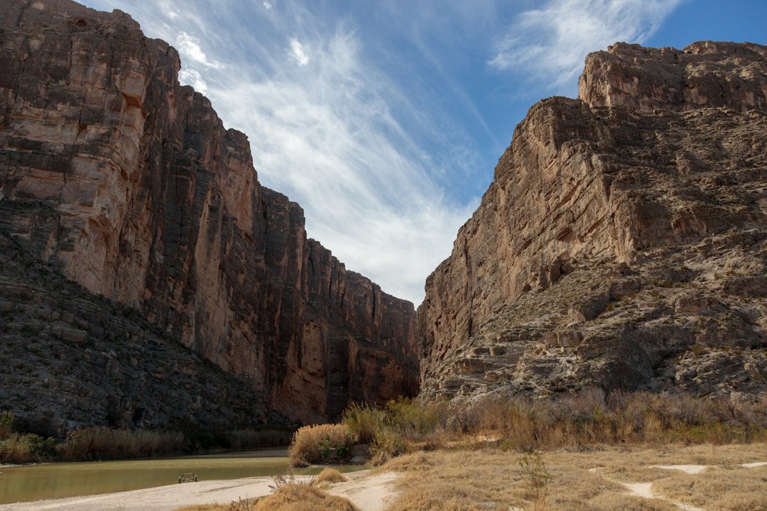
The drive out Ross Maxwell Scenic Drive is 30 miles of slow-building theater — Tuff Canyon’s carved ash beds, the Mule Ears formation, overlooks that keep one-upping each other — and it ends at the best short walk in the park. The Santa Elena Canyon trail is only about 1.7 miles round trip, but it begins with a ford of Terlingua Creek, and that crossing is the gatekeeper. In dry conditions it’s a rock-hop with wet boots as a worst case. After rain it can be calf-deep mud, which is exactly as fun as it sounds.
Once across, the trail threads into a slot where 1,500-foot limestone walls squeeze the Rio Grande into something that looks less like a border and more like a corridor. The light goes green off the water. Cliff swallows strafe overhead in the evenings. Mexico is the left wall; Texas is the right; the river doesn’t care about either. On a ninety-degree day this canyon is an oven, but in October it’s simply the single best hour of walking in West Texas.
Hydration note from hard experience: I keep a three-liter bladder in the pack for canyon days and drop electrolyte tablets into the last liter, because desert dehydration is sneaky in cool weather too. The dry air wicks sweat off before you ever feel it.
The River Draws the Line
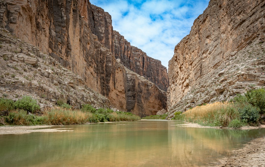
The eastern half of the park belongs to Boquillas Canyon, a softer, sandier walk of about 1.4 miles that ends at a massive dune pressed against the Mexican wall — kids of all ages slide down it, and yes, my photographer did, holding a $2,000 camera over her head like a trophy. The river runs slow and green here, and on the far bank the village of Boquillas del Carmen sits an hour’s walk from anywhere.
You can actually go. The crossing is a rowboat ferry, a few dollars and a passport, with burros for the ride up to the village, where lunch is genuinely good and the cell service is genuinely not. The port runs limited days and hours and its status shifts with river levels and staffing, so treat it as a bonus, not an anchor, and verify it’s open before you promise anyone tacos.
Even if you stay stateside, the border is worth watching quietly. Bring a compact pair of binoculars and sit at the Boquillas overlook near closing time: on the Mexican side you’ll spot tiny collections of painted walking sticks and wire scorpions left with honest honor-system price jars, the whole fragile economy of a village that lives off ferry traffic. I never take the souvenirs without leaving cash, and I always pack a UV neck gaiter, because the low-angle October sun off that canyon water will cook the back of your neck while you’re busy squinting at burros.
Terlingua After Dark
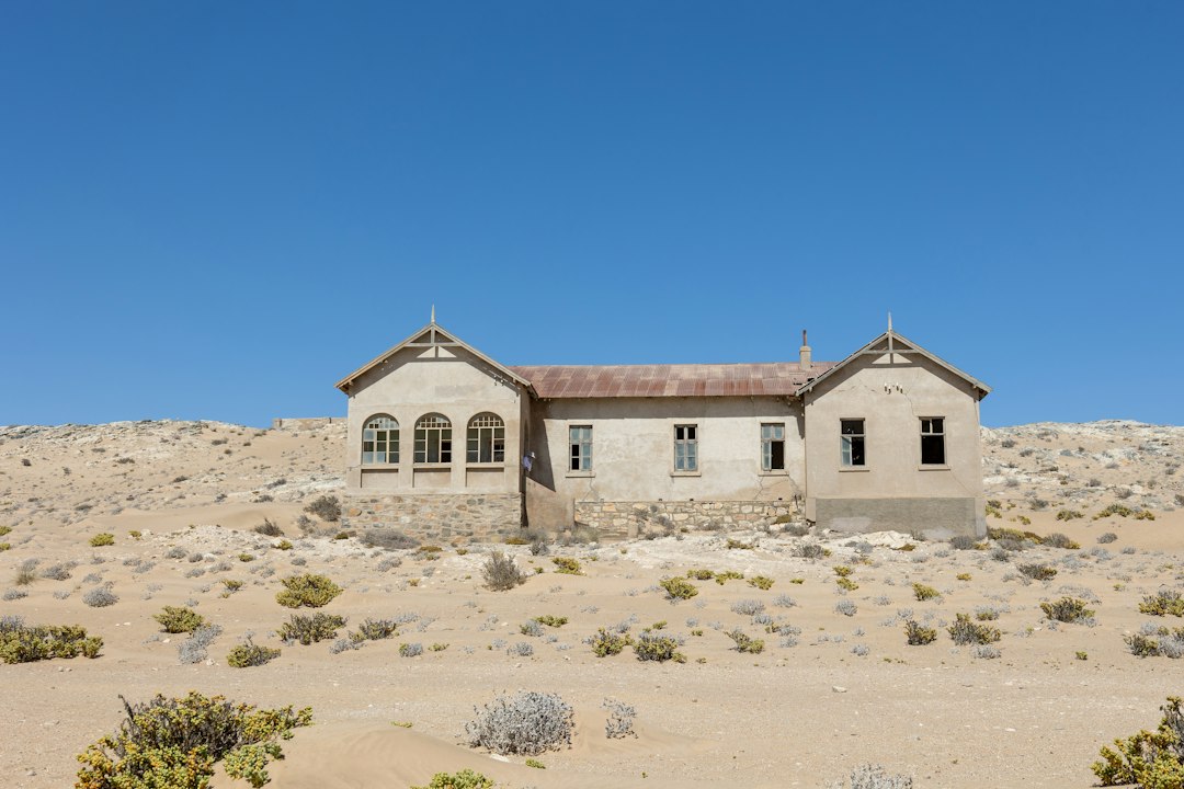
Just west of the park sits Terlingua, a mercury-mining town that died when the market for quicksilver did, and then refused to entirely leave. What remains — collapsed adobe walls, a church roofless against the sky, a graveyard on a hill with glass bottle decorations that catch the last light — has become the unofficial capital of West Texas cool. The porch at the Starlight Theatre serves cold drinks and hot food where cowboys once watched movies, and at sunset the whole population drifts toward the cemetery hill with beers in hand.
We’ve chased ghost towns across the Mojave, and Terlingua holds its own against any of them — with the twist that this one has live music and margaritas. Time an October visit right and you’re also within striking distance of the original Terlingua chili championship, the first weekend of November, when a few thousand people descend on an empty dust bowl to argue seriously about cumin. Book lodging months ahead if that’s your target; the town is small and the event does not care about your late planning.
My must-pack for Terlingua evenings: a lightweight camp chair that lives in the trunk. Sunset over the ruins is a sit-down event, and the rocks out there are not forgiving.
The Darkest Sky I’ve Ever Misjudged
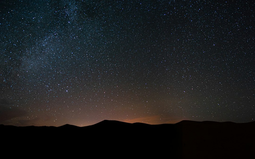
Here is what I get wrong every single time: I think I know the night sky, and then I stand in Big Bend on a moonless night and realize I have never actually seen it. The park is a certified International Dark Sky Park with some of the darkest measured night skies in the national park system — on clear October nights the Milky Way doesn’t suggest itself so much as bludgeon you. Rangers run star programs at the amphitheater in season, and they’re worth an hour even if you think you’re above it.
Timing is everything, and we plan whole trips around it now (our dark sky parks guide has the general playbook). You want the week on either side of a new moon, and October delivers cool nights without the winter chill that shortens your stamina. Gear notes from the last trip: a headlamp with a red-light mode so you don’t nuke everyone’s night vision, and if you’re shooting, a proper travel tripod — phone cameras will not do this sky justice and you will regret not bringing one. My first visit, I didn’t. The regret persists.
A Park That Punishes the Unprepared
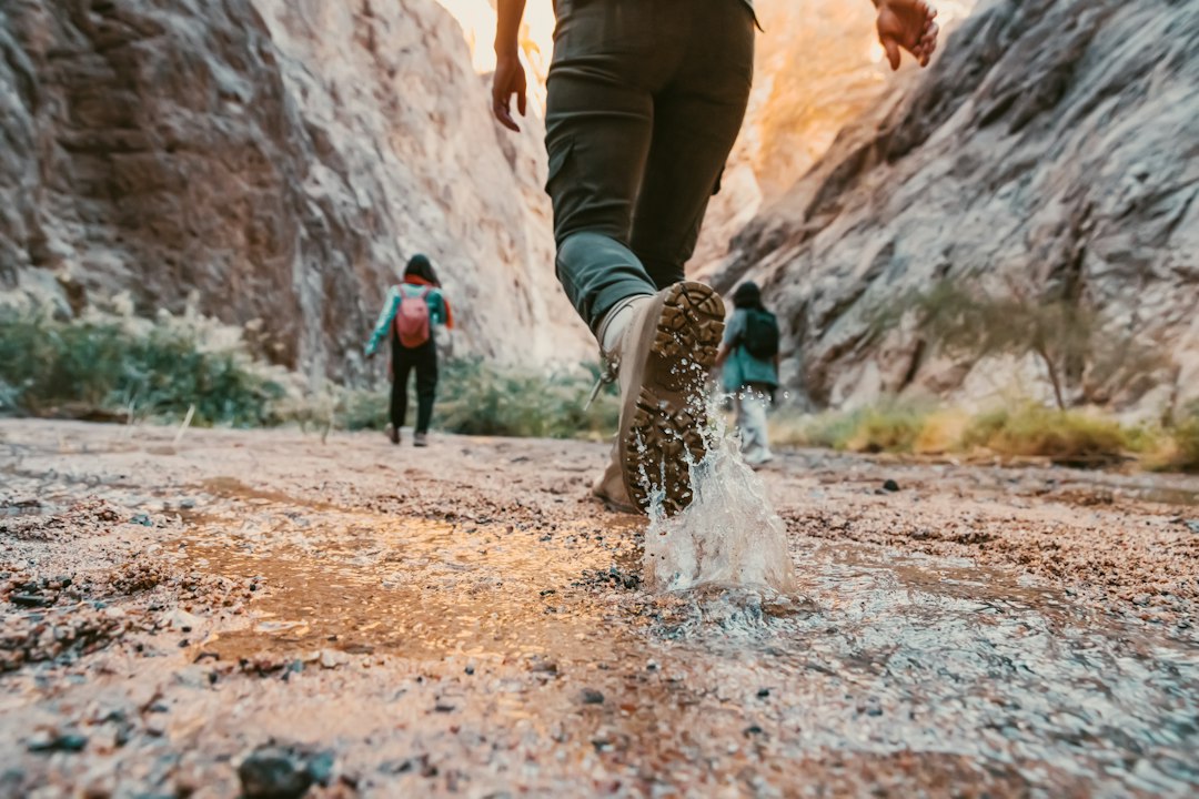
None of this is casual, and the park will not rescue you from bad logistics. Cell service is functionally nonexistent. Distances inside the park are enormous — the drive from Panther Junction to Rio Grande Village is half an hour, and to Santa Elena over an hour — and the only gas pump inside the boundaries is at Panther Junction. The nearest full grocery is back in Alpine. Our standing checklist, refined by one memorable trip where we ran the last forty miles on fumes: fuel up every time you pass a pump, carry more water than the gallon-a-day rule, and keep snacks in the vehicle like you’re crossing a small ocean.
The other non-negotiable, given the cell situation, is a way to call for help. A satellite messenger lives clipped inside my daypack on every Big Bend trail, and I’ve never once regretted the weight. Check the park’s alerts page before long hikes too — October can still see flash floods fill normally dry creek crossings in minutes.
The Shape of a Good Week
Here’s the itinerary we’ve settled on after several Octobers, and it holds up. Day one: enter from the north, stop at the Fossil Discovery Exhibit to stretch your legs, and sleep at the Chisos Basin campground (reserve early on recreation.gov) to start acclimating to the altitude. Day two: the Chisos — Lost Mine in the morning, a slow Basin afternoon, jackets on after dark. Day three: Ross Maxwell Scenic Drive with the full morning at Santa Elena Canyon, then exit west and overnight in Terlingua for the ghost town at sunset. Day four: Boquillas Canyon, the hot springs on the riverbank if time allows, and one final long night under that ridiculous sky.
Entrance runs about $30 per vehicle for a seven-day pass, which remains one of the best deals in American travel. And that’s the quiet punchline of Big Bend in October: the busiest park season in the country is happening everywhere else. This one is just waking up, cool and empty and improbably vast, waiting at the end of a road that swallowed your radio an hour ago. Go before everyone else figures out the calendar is backwards.
1 thought on “Chili Weather at Last: Why Big Bend’s Real Season Starts in October”