
The text came in at 4:47 on an October afternoon, from a stretch of the Wind Rivers where the nearest cell tower might as well be in another century: Standing water on the plateau. Watching the ceiling. Will move when it lifts. Fourteen words, beamed off a fist-sized device to a satellite 1,200 miles up, then down to my editor’s phone in Denver. That message cost me nothing urgent — but the ability to send it is the single piece of gear I now refuse to walk into the fall backcountry without.
Every October I go through the same ritual with my gear closet. The summer crowds thin out, the light drops an hour earlier, and the margin between “great trip” and “long night” gets narrower by the week. This year the item that earned the most scrutiny was my satellite messenger, because the category has quietly gone through a reset: a new Garmin flagship, a capable budget challenger, and a phone in every pocket that can already do some of this. My team and I spent the shoulder season testing the field against the way people actually travel in fall — short days, fast weather, and long gaps between other hikers.
Why October Tilts the Math
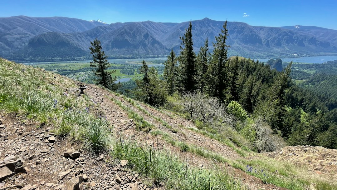
In July, a twisted ankle on a popular trail means someone wanders past within the hour. In October, that same trail might see six people all day. The calendar changes everything: fewer witnesses, colder nights, weather systems that stack up instead of burning off, and hunting seasons that put you in country where loud clothing colors matter more than you’d think. When my researcher pulled the incident logs, the pattern was blunt — shoulder-season rescues take longer to initiate and longer to execute, mostly because discovery is delayed.
That’s the case for a satellite communicator in one sentence: it collapses the discovery window to zero. Everything else — messaging plans, touchscreens, mapping — is a convenience stacked on top of that core function. If you only remember one thing from this article, make it that hierarchy. But since you’re shopping anyway, let’s sort the field properly.
The Contenders, Sorted by Question
I find it easier to shop for these devices by asking what you actually need from the sky. Do you want navigation and weather on the device itself, or just messaging? Do you hike in places with any cell coverage at all? Are you buying for one person or a group? The answers route you to different hardware faster than any spec chart. Here’s the short version, then the details.
The realistic field this fall: the Garmin inReach Mini 3 Plus as the do-everything flagship, the Garmin inReach Messenger as the simpler puck, the ZOLEO Satellite Communicator as the messaging-first value pick, a modern iPhone as the thing you already own, and a PLB like the ACR ResQLink View as the no-subscription life raft. There’s also the SPOT Gen4 lingering on the market, though its one-way check-ins feel dated next to two-way texting that costs about the same per month. And Garmin’s Montana 710i deserves a nod if you’re outfitting a group or want a real touchscreen map — it’s just more machine than most of us need on foot.
Garmin inReach Mini 3 Plus: The Whole Toolkit
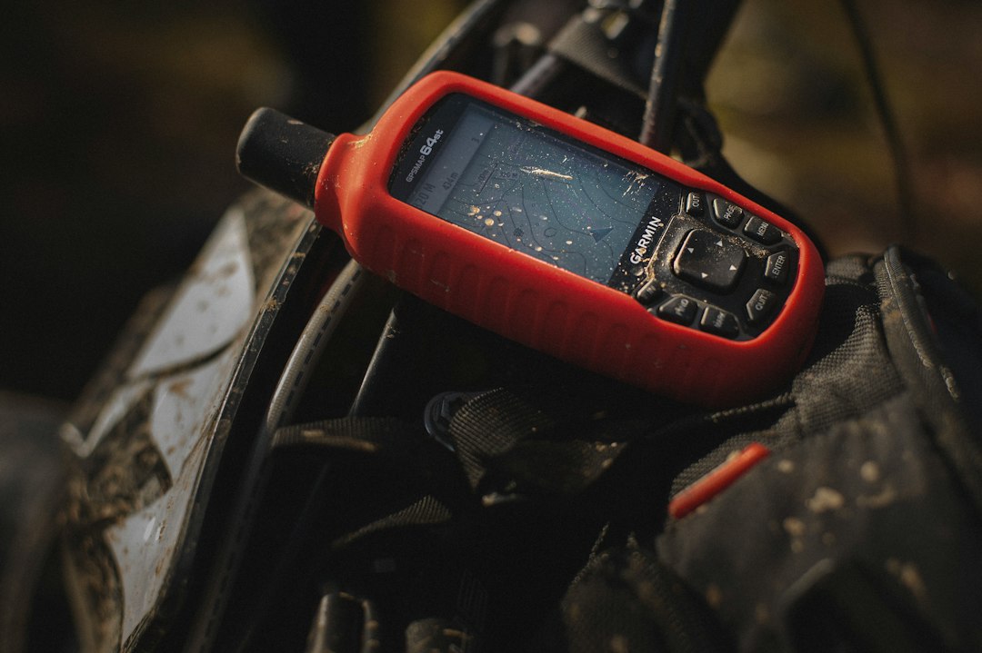
The Mini 3 Plus is the one device that answers every question at once. Garmin gave it a color touchscreen, roughly 350 hours of battery in tracking mode, and — new this generation — the ability to send photos and voice notes alongside text. On a wet plateau, being able to transmit a photo of the route condition instead of describing it in a 160-character text is not a gimmick; it’s the difference between “we’re fine, continuing” and a rescue call. Onboard maps and weather downloads mean the thing in your hand is also the thing that tells you the storm arrives at six.
The trade-off is price on both ends: the hardware costs flagship money, and the subscription plans run Garmin-tier. What you get for it is the deepest feature set in the category and an interface my least technical tester — my brother-in-law, who still prints MapQuest directions — figured out in an afternoon. If you’re the person in your group who owns the route, the weather call, and the bailout plan, this is your device, and honestly, your group’s device too. Pair it with a power bank like Anker’s PowerCore lineup and a 350-hour rating becomes academic for any trip under two weeks.

Garmin inReach Messenger: Same Sky, Smaller Bill
Strip away the maps and the touchscreen and you have the inReach Messenger: a hockey puck that does two-way messaging, SOS, and location sharing, and delegates everything visual to your phone over Bluetooth. For most hikers — and this is the part nobody wants to hear — that’s the more honest device. You already carry a phone with better maps than any messenger will ever ship. The puck just needs to see the sky and keep you alive.
Battery life is the Messenger’s party trick, stretching past the Mini in messaging-only mode. The anchoring trick Garmin never advertises well: pair it with your phone and it will automatically send messages over cell or Wi-Fi when you have it, saving satellite credits for the backcountry. That’s clever engineering for people who straddle coverage all day. If you want the Garmin network — the same Iridium satellites, the same rescue coordination — without flagship pricing, this is the pick, and the previous-gen Mini 2 at its discounted price makes a sneaky alternative for the same money with a screen built in.
ZOLEO: Built for People Who Mostly Text
My gear editor keeps calling ZOLEO “the writer’s messenger,” and the nickname fits. Its killer feature isn’t hardware at all: contacts get a real phone number and email address, so the people at home can message you from their normal apps instead of learning a portal. For check-in schedules with family members who did not sign up for a backcountry hobby, that friction reduction is everything. My mother has sent exactly one message through Garmin’s app and eleven through ZOLEO’s, and she cannot tell you why, but she’s right.
The compromises are real but narrow. Battery life trails the Garmins — ZOLEO claims 200-plus hours at a twelve-minute check interval — there’s no onboard navigation, and the device leans hard on that phone pairing. Monthly plans run cheaper than Garmin at comparable message volumes, which matters if you’re keeping the subscription active year-round. For shoulder-season trips where your main job is proving to specific humans that you are alive on schedule, it’s the device I hand to new backpackers and say “just do what the app says.”
The iPhone Already in Your Pocket
Here’s the question my inbox fields most every fall: my phone has satellite SOS now — am I done shopping? The honest answer is that an iPhone with satellite capability covers the catastrophic slice of the problem remarkably well. Emergency SOS via satellite works, it’s rescued real people, and carrying nothing else is a massive upgrade over carrying nothing. Our testing matched what the major gear outlets concluded this season: for basic SOS-level communication, in most terrain, a modern phone is legitimately sufficient as a last resort.
But a last resort is all it is. Phone satellite features don’t do scheduled check-ins, don’t let your partner text you “turn around, storm coming,” and burn precious battery hunting for a signal through an interface designed for emergencies, not conversation. Cold drains the battery exactly when you need it most. If your trip plan contains the phrase “nobody expects to hear from me until Thursday,” a dedicated messenger still earns its pack weight. Treat the phone as layer one of a system — kept warm in an inside pocket and dry in a proper dry case — not the whole system.

The No-Subscription Escape Hatch
Every device above charges a monthly fee for the privilege of rescue, and I understand the people who resent that on principle. For them, there’s the PLB — a Personal Locator Beacon like the ACR ResQLink View. It broadcasts your emergency on the 406 MHz search-and-rescue frequency to a government-run network, with no subscription, ever. Register it once, keep the battery date honest, and it will work in a decade as well as it works today. It is also, dollar for dollar and gram for gram, the most reliable SOS button in this entire article.
The catch is the word “only.” A PLB is a one-way flare: no confirmation rescue is coming, no “we see you,” no check-ins, no non-emergency messaging whatsoever. You press it and then you commit to being found, whether or not your situation resolves on its own. My own fall kit carries both a messenger and a PLB when I’m going genuinely remote, because redundancy in the rescue layer is the cheapest insurance in this sport. But if budget forces a single choice between a PLB and nothing? Take the PLB, every time.

Subscription Math Nobody Prints on the Box
The sticker price is the entrance fee, not the cost. Garmin’s plans ladder from a basic safety tier in the mid-teens per month up to unlimited messaging around forty, with annual contracts and suspension schemes that matter if you only hike part of the year. ZOLEO undercuts those numbers at similar volumes. The trick my team uses: buy during the fall sales, then start the subscription the week of your first trip, not the week of purchase — the device works fine as a paperweight while it’s suspended.
One more cost people forget: the learning curve is a real expense. An SOS device you’ve never practiced with is a liability with a button on it. Every one of these services has a test mode — use it, from your backyard, until the muscle memory exists. The same goes for the rest of the fall kit; our piece on the trekking poles that rescued my own downhill season covers the other half of staying upright when trails get slick.
Habits That Outweigh the Hardware
The best device in this category still loses to boring discipline. File a real itinerary with a real person, including the route you’d bail to, not just the one you hope to finish. Set your check-in schedule before you lose signal, and make the consequences explicit — if I miss two check-ins, call the county sheriff, here’s the number. Keep the messenger warm and topped up; a rechargeable headlamp and a cabled battery habit round out the short-day kit. And hike orange in October, because the calendar belongs to hunters too.
The connectivity question doesn’t end at the trailhead, either. If your version of the outdoors involves four wheels and a fridge full of food, our complete guide to van life internet solutions covers the off-grid pipeline upstream of any satellite subscription, and the same logic shapes how I plan boondocking trips deep past the pavement. For travelers who share their position with a partner by default rather than by plan, the routines in our 2026 solo road trip safety guide translate to the trail almost word for word.
Back on that Wind River plateau, the ceiling lifted at 6:20, and the next message out read simply: Moving. Expect camp by dark. Tell nobody I cried at the pass. That’s the whole pitch, really. A satellite messenger isn’t about fear — it’s about walking farther into the quiet season than you otherwise would, with the certainty that the distance is survivable. Buy the one that matches your questions, pay for the plan that matches your calendar, practice until it’s boring, and then go use the last of the good light. October doesn’t wait, and neither should your trailhead decisions.
2 thoughts on “Dead Zones Don’t Negotiate: Sorting the Satellite Messenger Question Before the Trails Go Quiet”