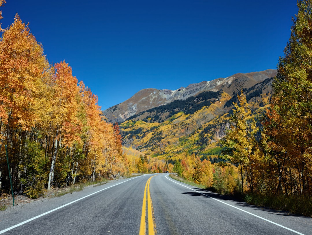
There’s a moment on the Million Dollar Highway where your passenger goes quiet, your knuckles tighten on the steering wheel, and the road ahead seems to carve itself into the face of a cliff that drops hundreds of feet into nothing. I’ve driven a lot of roads in this country — the Blue Ridge, the Beartooth, Going-to-the-Sun — but nothing prepared me for the raw, unfiltered intensity of US Route 550 between Silverton and Ouray, Colorado.
My team and I had been planning this San Juan Skyway loop for months. We’d studied the maps, read the forums, watched the drone footage. But maps don’t convey what it feels like to navigate a stretch of asphalt with no guardrails, no shoulder, and a sheer rock wall on one side pressing you toward a canyon that your brain refuses to fully process. This is a road that demands respect — and rewards it with some of the most spectacular mountain scenery in North America.
Why the San Juan Skyway Belongs on Your August Road Trip List
The San Juan Skyway is a 236-mile scenic loop through the San Juan Mountains of southwest Colorado, connecting Durango, Silverton, Ouray, Telluride, and Ridgway. The full loop takes about six hours of pure driving time, but you’d be doing yourself a massive disservice to rush it. This is a three-to-five-day trip disguised as a drive, with hot springs, ghost towns, waterfalls, mining history, and alpine hikes waiting at every stop.
August is the sweet spot. The summer monsoon pattern is starting to ease, wildflowers are still hanging on at higher elevations, and the afternoon thunderstorms — while still a factor — are less aggressive than in July. Daytime temperatures hover in the mid-70s in the towns and drop into the 40s at night. You’ll also beat the peak tourist rush that clogs the region in early summer, and you’ll be ahead of the fall-colors crowd that descends in late September.
I mention weather with some authority because mountain conditions change fast up here. Afternoon storms can roll in without much warning, especially above 10,000 feet. I packed a solid water-resistant SPF 50 sunscreen because at these elevations, the sun hits harder than you’d expect — even on overcast days, UV exposure at 9,000 feet is roughly 40% higher than at sea level.
Starting in Durango: Trains, Tacos, and Trailheads
Most people start the loop in Durango, and there’s good reason for it. It’s the largest town on the route, with a real downtown, excellent restaurants, and an Amtrak connection if you want to leave the car at home (though you’ll need one for the actual Skyway). Durango sits at about 6,500 feet — a manageable elevation that gives your body a chance to acclimate before you climb higher.
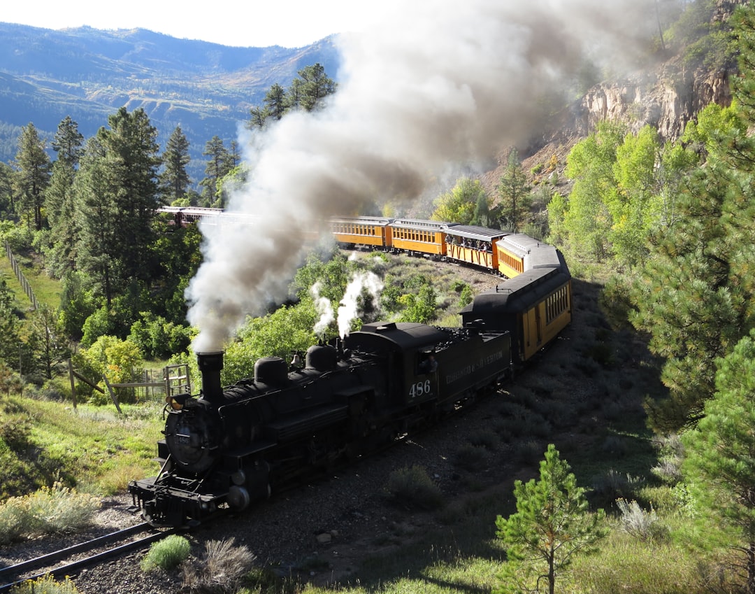
The Durango & Silverton Narrow Gauge Railroad is the marquee attraction, and honestly, it deserves the hype. This coal-fired steam train has been running since 1882, winding 45 miles through the Animas River Gorge to Silverton. If you have the time, book the train one direction and drive back — you get the canyon views from the rails and the highway perspective in one day. My photographer shot some of the best material of the entire trip from the open-air gondola car.
Before leaving Durango, make sure your vehicle is in good shape. This isn’t a place for bald tires or questionable brakes. I run a full roadside emergency kit in the back of my vehicle at all times, but on this road, it felt less like precaution and more like necessity. Jumper cables, a tire inflator, a tow strap, and basic tools — they’re cheap insurance for a road where cell service is spotty and help can be hours away.
The Climb to Silverton: Where the Road Gets Serious
From Durango, US 550 heads north and immediately starts climbing. The first stretch to Silverton is relatively tame — two lanes, gentle curves, and the Animas River keeping you company through the valley. Coal Bank Pass and Molas Pass are your first real elevation gains, topping out above 10,000 feet. If you’ve been meaning to invest in a hydration pack, this is where it earns its keep. The air is dry, the sun is intense, and you’ll feel the altitude even if you acclimated in Durango.
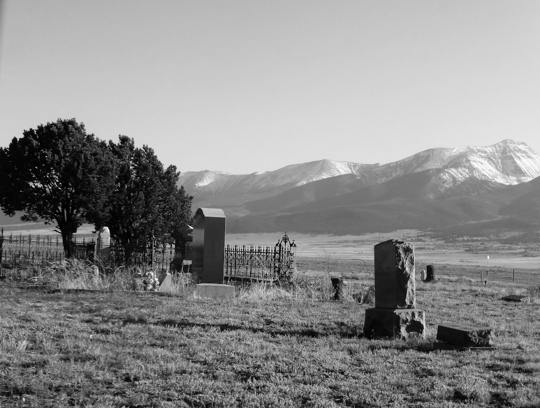
Silverton itself is a town that time nearly forgot. At 9,318 feet, it’s a former silver mining camp with a year-round population of fewer than 700 people. The entire town is a National Historic Landmark District, and the buildings along Greene Street look largely the way they did in the 1880s. Spend a couple of hours here — grab lunch at one of the saloons, walk the side streets, and check out the mining artifacts scattered around town.
I picked up a compact first aid kit before this trip specifically because of the hiking opportunities around Silverton. The Colorado Trail passes nearby, and there are old mining roads that branch off into the mountains in every direction. A minor scrape or blister might not seem like a big deal until you’re three miles from the trailhead at 11,000 feet with no cell signal.
The Million Dollar Highway: Silverton to Ouray
This is it. The 25-mile stretch between Silverton and Ouray is what gives this road its reputation — and its name. There are competing theories about why it’s called the Million Dollar Highway: some say it cost a million dollars per mile to build in the 1920s, others claim the fill dirt contains a million dollars in gold ore, and a third camp insists it’s because you’d have to pay them a million dollars to drive it again. After experiencing it firsthand, I understand all three.
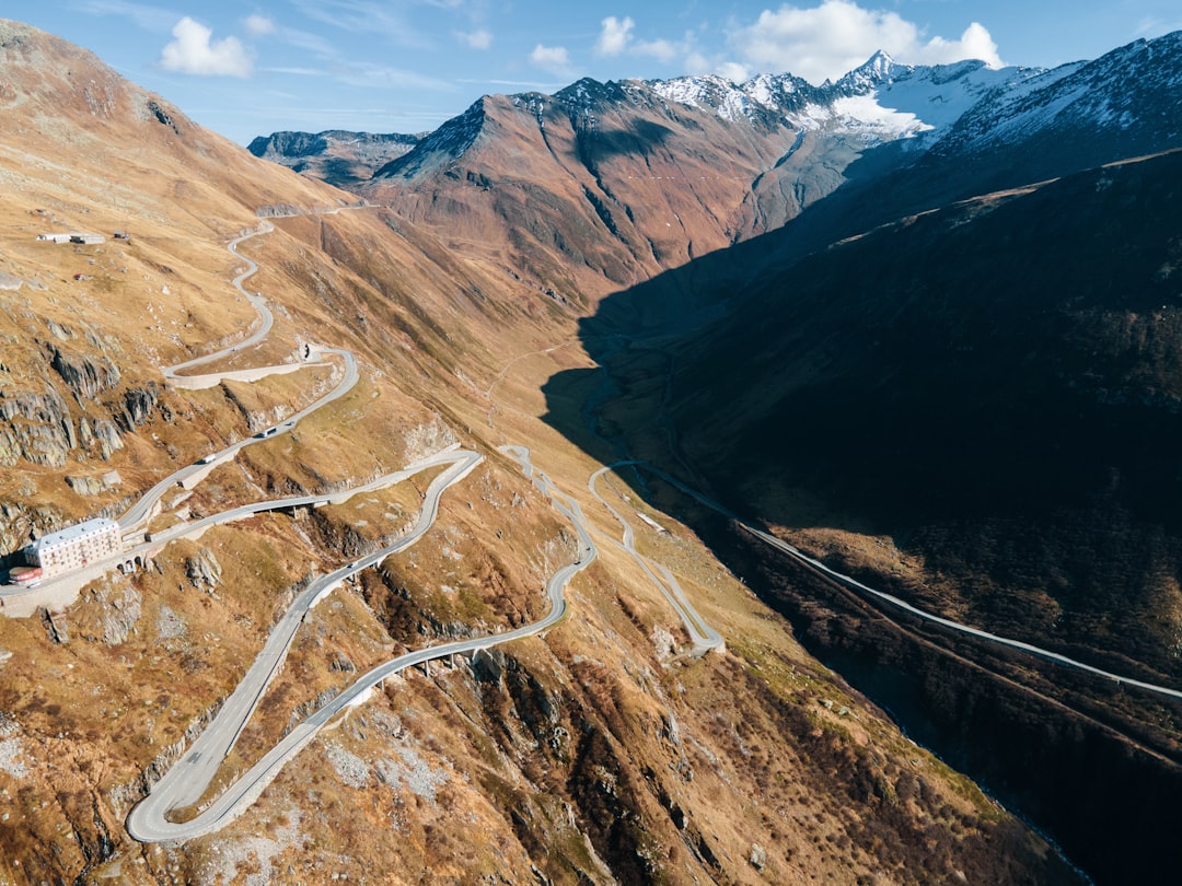
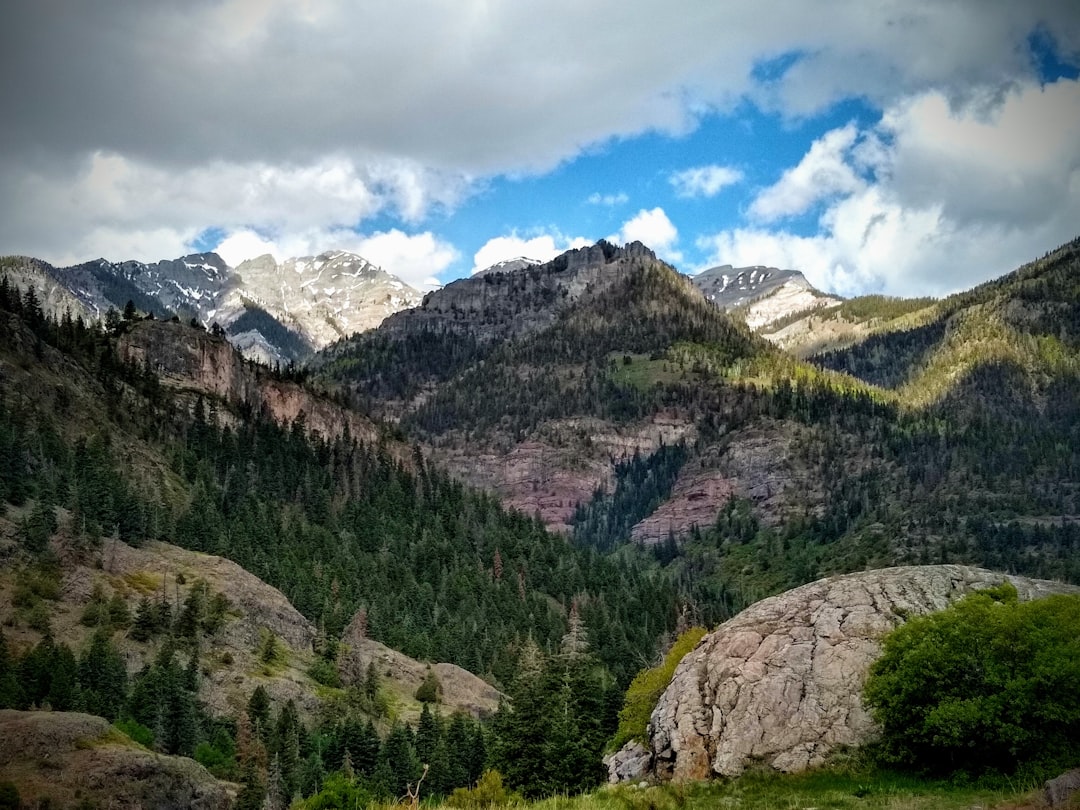
The road climbs over Red Mountain Pass at 11,018 feet before descending into Ouray. There are no guardrails on the most exposed sections. The lanes are narrow. In some spots, the road is literally cut into the side of a cliff, with a vertical rock face on your left and a vertical drop on your right. If you’re a nervous driver, do this stretch heading north (Silverton to Ouray) so you’re on the inside lane, hugging the rock wall rather than the cliff edge.
I had a dual dash cam running the entire time, and reviewing the footage later, I was struck by how the landscape transforms as you cross the pass. The green valleys below Silverton give way to rust-colored peaks streaked with iron, then to jagged volcanic rock formations that look like something from another planet. The three Red Mountains — numbered one through three, in true Colorado fashion — dominate the skyline with their oxidized scarlet faces.
Pull over at the Idarado Mine overlook. It’s one of the few wide spots on this section, and the view back toward the Red Mountains is the single most dramatic vista on the entire Skyway. My team captured panorama shots here that I still can’t believe are real.
Ouray: The Switzerland of America
After the intensity of the Million Dollar Highway, Ouray feels like a reward. This small town sits in a box canyon at 7,792 feet, surrounded on three sides by vertical walls of rock that rise a thousand feet above the rooftops. It’s called the “Switzerland of America,” and the comparison is not even slightly exaggerated.
Ouray Hot Springs is the main draw — a complex of natural mineral pools that have been drawing visitors since the 1800s. After a day of cliff-edge driving, soaking in 100-degree water while staring up at canyon walls is about as close to perfect as travel gets. The pools have been recently renovated with a modern facility, but the experience is still essentially the same one that miners enjoyed after a week underground.
For hiking, the Perimeter Trail is a must-do. This 4.2-mile loop circles the entire town, climbing above it for panoramic views and passing through Box Canyon Falls — a thundering waterfall that drops 285 feet through a narrow slot canyon. I wore my waterproof hiking boots on this trail, and they were the right call. The rocks near the falls are perpetually wet and surprisingly slick.
If you’re staying overnight, Ouray has a surprisingly good food scene for a town of 1,000 people. The brewery on Main Street does excellent elevated pub fare, and there are a couple of fine-dining options that punch well above their weight class. The altitude does affect your appetite and alcohol tolerance, though — pace yourself accordingly.
The Detour to Telluride
From Ouray, the Skyway heads west toward Ridgway and then south toward Telluride. This section is less harrowing than the Million Dollar Highway but no less beautiful. The Dallas Divide, at 8,983 feet, offers one of the most photographed views in all of Colorado — rows of aspen and spruce marching toward the jagged Sneffels Range.
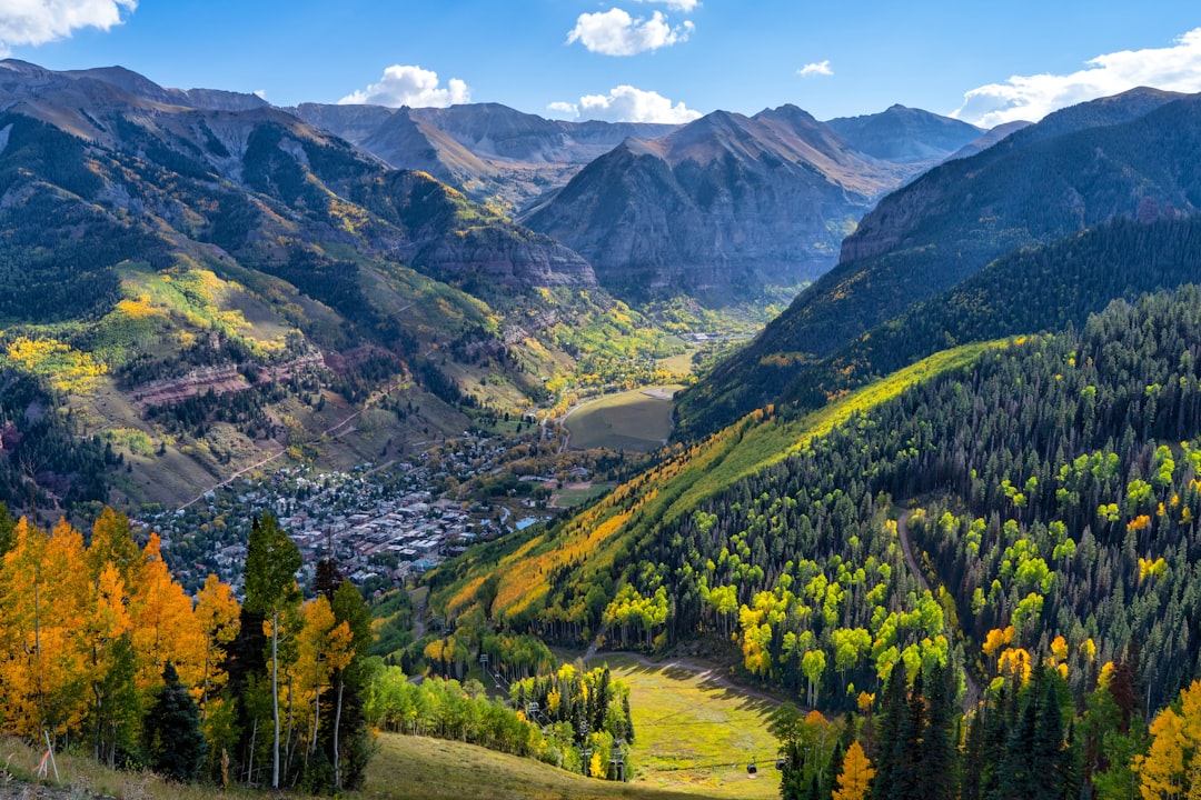
Telluride is the crown jewel of the San Juan Mountains. A former mining town turned ski resort, it sits in a dramatic box canyon at 8,750 feet, surrounded by 13,000- and 14,000-foot peaks. The town has a free gondola that connects the historic downtown to Mountain Village, and riding it at sunset is an experience worth scheduling your entire day around.
I had layered up with a lightweight fleece jacket that proved essential. Even in August, temperatures can drop 30 degrees between the valley floor and the gondola summit. The wind at the top of the lift can be brisk, and if you’re doing any of the hiking trails that branch out from Mountain Village, you’ll want that extra layer.
Telluride also has some of the best hiking in the region. The Bear Creek Trail departs right from town and follows an old mining road for about 2.5 miles to a cascading waterfall. It’s moderately strenuous but well-maintained, and the wildflower displays in August are still impressive. Further up the valley, Blue Lake Trail offers alpine lake scenery that rivals anything I’ve seen in the Swiss Alps.
Practical Gear for Mountain Driving
Driving the San Juan Skyway isn’t like cruising Interstate 70. You’re navigating high-altitude passes, changing weather, and sections of road where a mistake could be catastrophic. Here’s what I brought along that proved its worth:
- A soft cooler backpack for keeping water and lunch cold during long stretches between towns. At altitude, hydration is non-negotiable — plan for at least a liter of water per person per hour of driving.
- An Anker high-capacity power bank because cell service is unreliable and your phone will be working overtime for GPS, photos, and the occasional emergency call.
- Altitude acclimation supplements — whether you go the herbal route or not, having something to take the edge off altitude headaches is worth packing. I felt the effects above 10,000 feet despite acclimating for two days.
- A good pair of waterproof hiking boots. You’ll want them for the trail networks around Ouray and Telluride, where slickrock and stream crossings are common.
Waterfalls and Ghost Towns Off the Main Loop
One of the best things about the San Juan Skyway is how much lies just off the main road. If you have an extra day, take the side trip to Bridal Veil Falls near Telluride — at 365 feet, it’s the tallest free-falling waterfall in Colorado. The drive up to the base involves a rough four-wheel-drive road, but even viewing from the valley floor is worth the detour.
Animas Forks, a ghost town northeast of Silverton, is another must-see if you have a high-clearance vehicle. At 11,200 feet, it’s one of the highest ghost towns in the United States, with several intact structures from the 1870s mining boom. The road in follows the Animas River through a canyon that’s almost uncomfortably beautiful.
The Enchanted Circle in New Mexico gets a lot of attention as the Southwest’s best scenic loop, and deservedly so — but the San Juan Skyway is on an entirely different level of drama. Where the Enchanted Circle offers gentle beauty and cultural richness, the San Juans deliver raw geological power that makes you feel very small and very lucky to be there.
Timing Your Drive: Weather, Traffic, and Strategy
Here’s what I learned the hard way: start early. Thunderstorms in the San Juans typically build between noon and 2 PM, and you do not want to be on an exposed section of the Million Dollar Highway when lightning starts cracking the ridgeline above you. Aim to be past the high passes by early afternoon, or at minimum, have a plan to shelter in Silverton or Ouray if the weather turns.
RVs and trailers are a fact of life on this road in summer. They’re restricted on certain sections, and frankly, if you’re not experienced with mountain driving, a large RV on the Million Dollar Highway is a recipe for white-knuckled terror. Most rental companies prohibit their vehicles on US 550 between Silverton and Ouray for good reason.
Weekdays are noticeably less congested than weekends. If your schedule allows, plan the most challenging driving sections for Tuesday through Thursday. I found traffic on Saturday heading north from Silverton to be stop-and-go in places, which adds stress to an already demanding drive.
This region connects well with other high-altitude destinations if you’re building a larger Colorado itinerary. And if you’re looking at late August travel windows, the San Juans are right in that goldilocks zone — still accessible, less crowded, and beginning to hint at the colors that will explode in September.
Where to Stay Along the Loop
Durango has the most hotel options and the most competitive rates. Silverton has a handful of historic inns and vacation rentals — book early for summer weekends. Ouray skews toward boutique lodges and B&Bs, many with hot springs access. Telluride is the most expensive of the four, with resort-level pricing that reflects its status as a world-class destination.
For budget-conscious travelers, camping is an excellent option. There are Forest Service campgrounds scattered throughout the region, and many are first-come, first-served. Amber Campground near Silverton and Amphitheater Campground above Ouray are two of my favorites — both offer basic facilities and spectacular settings for under $25 per night.
If you’re planning this as part of a bigger Rocky Mountain road trip, the San Juan Skyway pairs beautifully with a loop through Mesa Verde National Park to the west or the Black Canyon of the Gunnison to the northeast. Either extension adds a half-day of driving and a full day of exploration.
The Verdict
The San Juan Skyway isn’t just a drive — it’s an experience that changes how you think about American roads. I’ve covered thousands of miles across this country, and the stretch between Silverton and Ouray remains the single most unforgettable 25 miles I’ve ever driven. It’s beautiful and terrifying in equal measure, and it demands a level of engagement that most scenic byways don’t.
Go in August when the weather is cooperative, the wildflowers are still blooming, and the summer crowds have thinned. Take it slow. Pull over at every overlook. Soak in the hot springs. Hike the trails. Eat the green chili. And when you’re gripping the steering wheel on a cliffside section with no guardrail and a 1,000-foot drop, remember that this is exactly what you came for.
The San Juan Mountains have a way of putting everything into perspective. They’ve been standing there for 1.7 billion years, and they’ll be there long after we’re gone. The least we can do is drive through them with our eyes wide open.
2 thoughts on “Colorado’s Million Dollar Highway: Why the San Juan Skyway Is the Most Terrifying Drive Worth Taking”