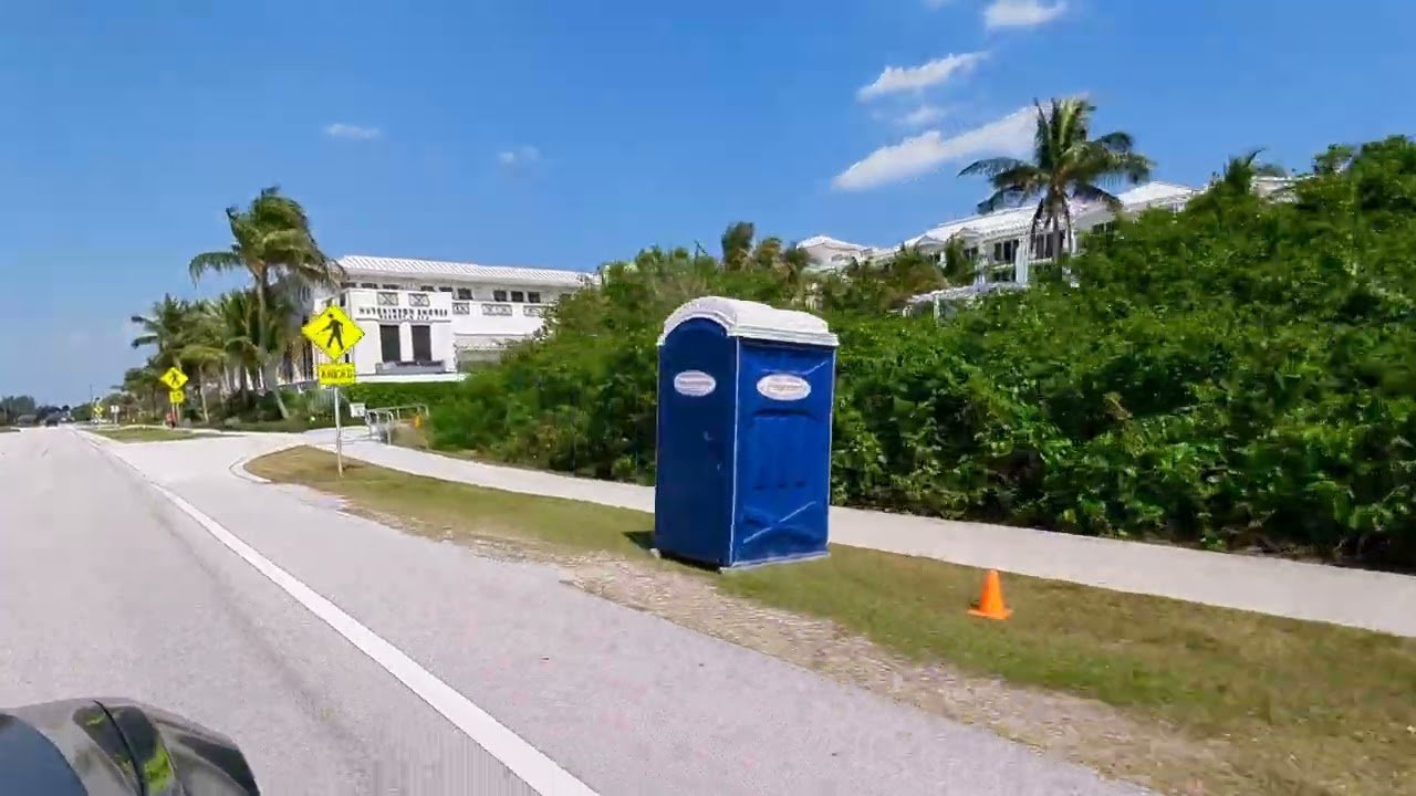
Some drives earn their keep with mileage. The loop out of Stuart, Florida — across the St. Lucie River, over the Sewall’s Point peninsula, up the spine of Hutchinson Island, and back to the mainland at Jensen Beach — barely covers a dozen miles of actual road. You could finish it in half an hour without stopping. But that would be missing the point entirely, because this short stretch of Florida’s Treasure Coast concentrates more stories per mile than almost any drive in the state: a town that bills itself as the Sailfish Capital of the World, a beach that turns into a nursery for prehistoric reptiles every summer, the last surviving shipwreck-rescue station on the Atlantic seaboard, and a humble mainland town that once shipped a million boxes of pineapples a year to the rest of the country.
It’s the kind of drive that rewards slowing down. Cross the river, roll the windows down, and let the island set the pace.
Start in Stuart, Where the Fish Have a Reputation
Downtown Stuart sits on a bend of the St. Lucie River, all brick sidewalks and waterfront restaurants, and it wears its fishing obsession openly. The town’s unofficial title — Sailfish Capital of the World — isn’t chamber-of-commerce puffery. The Gulf Stream swings closer to land along this stretch of the Treasure Coast than almost anywhere else in Florida, funneling baitfish and the predators that chase them within easy reach of the inlet. Charter captains here routinely post double-digit sailfish release days in season, something anglers in most of the world wait a lifetime to experience once.
You don’t have to book a charter to feel it, either. Walk the Stuart Riverwalk in the early morning and you’ll count the outriggers poking up from the marina like a picket fence, each one belonging to a boat that has probably had a billfish on the line this month. The whole town runs on a saltwater clock.
If you’re driving this loop on a bright Florida afternoon, a pair of polarized sunglasses is worth more than anything else in the car. The glare off the river and the inlets is brutal, and polarization doesn’t just cut it — it lets you actually see into the water, which around here means spotting rays, turtles, and the occasional tarpon rolling near the causeway.
Crossing the St. Lucie River at Sewall’s Point
The drive east out of Stuart is a study in how quickly Florida changes its mind. One block you’re in a historic downtown; five minutes later you’re crossing the wide brown-green expanse of the St. Lucie River, with the bridge railing framing nothing but water. The road threads across Sewall’s Point, a quiet peninsula of old oaks and canal-front homes where the speed limit feels like a suggestion to slow down and look around.
Keep an eye on the water as you cross — the river here is a designated manatee zone, and the slow-speed signage exists for good reason. West Indian manatees graze these shallows year-round, and the St. Lucie’s brackish mix of freshwater and salt makes it one of the better places in the state to spot them from a bridge. If the river residents capture your imagination, the region offers even better manatee encounters a short drive away, as we covered in our guide to seeing Florida’s wild manatees up close.
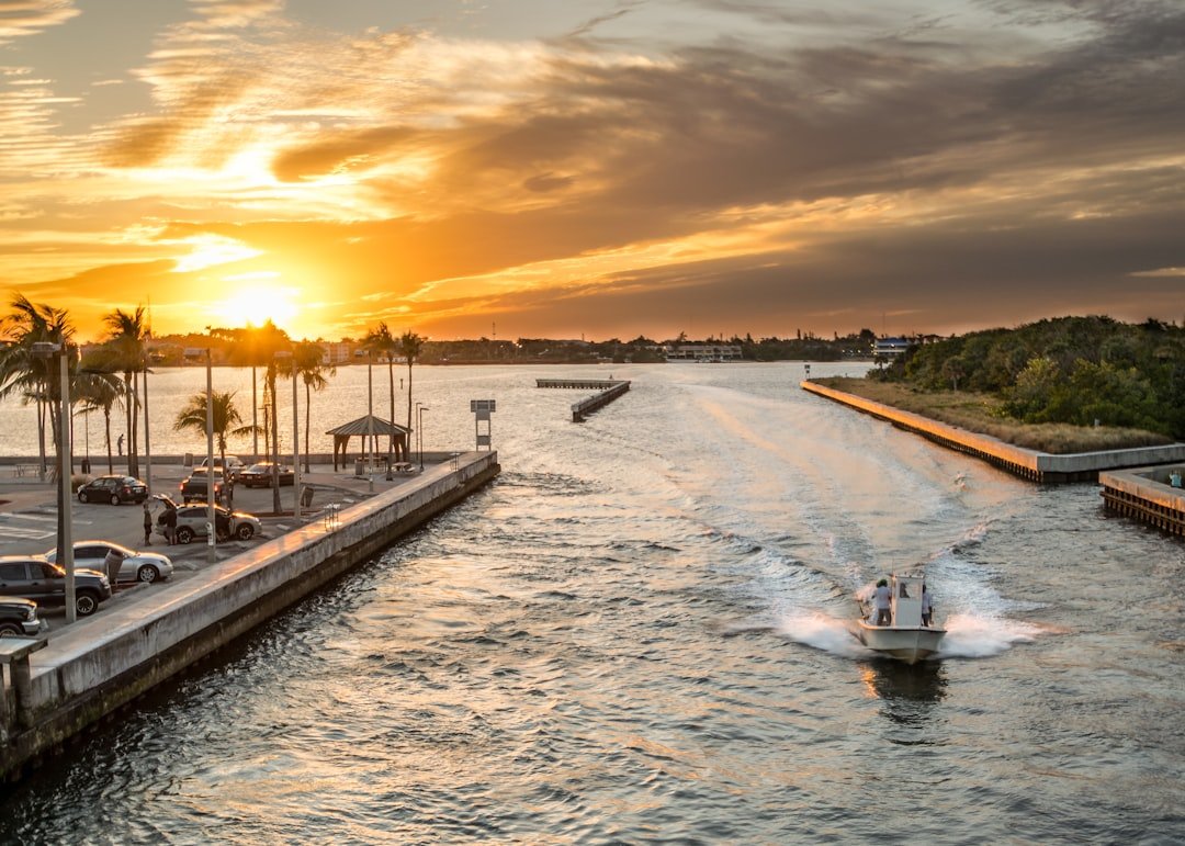
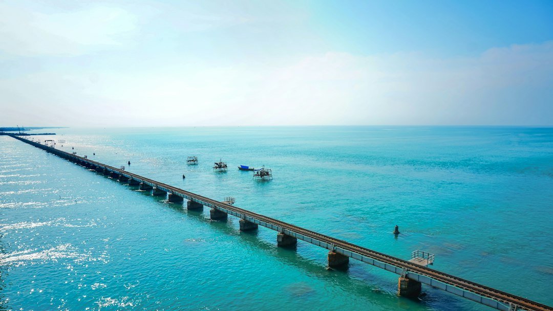
Then the trees break open, the second bridge rises, and you’re on Hutchinson Island — a slender barrier island that runs north for more than twenty miles, with the Atlantic on your right and the Indian River Lagoon on your left. The full crossing, from downtown Stuart to the island and up the coast to Jensen Beach, unfolds like this:
An Island That Runs on Turtle Time
Hutchinson Island doesn’t try to be Miami Beach. The development is spotty and low-key, and long stretches of the shoreline remain exactly as the turtles expect them: dark, quiet, and duned. Every year from roughly March through October, loggerhead sea turtles — some weighing close to three hundred pounds — haul themselves up these beaches at night to dig nests and lay eggs, and the island consistently ranks among the busiest nesting beaches in the United States. On peak nights in June, sections of this coast can hold hundreds of nests.
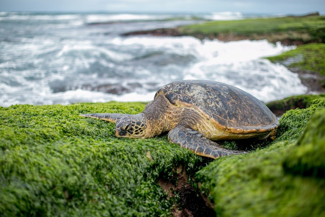
The practical upshot for visitors: the beach you’re lounging on in July is a working nursery. Locals follow a simple etiquette during nesting season — knock down sandcastles at the end of the day, fill in holes, and leave the lights off near the beach after dark, because hatchlings navigate toward the brightest horizon they can find. That brightness should be the moon on the ocean, not a condo porch lamp. Walk the beach at sunrise and you’ll often see the evidence yourself: thick tractor-tread tracks running from the surf line up into the dunes and back.
If you want a tangible piece of the island’s story, there’s a surprising amount of Hutchinson Island memorabilia and local-history material floating around, from vintage postcards to books on the Treasure Coast’s odder chapters.
Bathtub Reef Beach and Its Rocky Reward
Near the island’s southern end, just off the St. Lucie Inlet, sits one of the strangest swimming holes in Florida. Bathtub Reef Beach takes its name from a living worm-reef that sits just offshore, breaking the Atlantic’s waves into submission and creating a shallow, calm lagoon behind it at low tide. At the right water level, the effect is exactly what the name promises: a warm, waist-deep bathtub the size of several football fields, as gentle as any resort pool and entirely natural.
The reef gives with one hand and takes with the other. The bottom here is alive and sharp — sabellariid worm rock, craggy and full of nooks — and cheap flip-flops simply don’t survive it. A pair of reef water shoes turns the whole lagoon into an exploring ground, and the pools behind the reef are exactly the kind of place where a simple snorkel set pays for itself: juvenile fish, small rays, and the occasional octopus all hunt the nooks of that reef. Keep your phone in a waterproof pouch if you want photos, because one rogue wave over the reef line will end an unprotected device’s day.
The Last House of Refuge on the Atlantic
Continue north on MacArthur Boulevard and the island’s most remarkable artifact appears on the ocean side: a two-story cottage with a wide porch, standing alone against the dune line. This is the House of Refuge at Gilbert’s Bar, completed in 1876, and it is the sole survivor of ten such stations the U.S. Life-Saving Service built along Florida’s east coast in the era of sail and steam. The other nine are long gone. This one — the oldest building in Martin County and a listing on the National Register of Historic Places since 1974 — now operates as a museum.
The concept behind the houses was almost absurdly lonely. A keeper, often with his family, lived at each station year-round, patrolling the beach on foot after storms, watching for ships that had run onto the reefs that make this coast so treacherous — the same reefs that give Bathtub Beach its lagoon. Survivors who made it to shore found shelter, food, and dry clothes inside. Over the decades the station pulled fishermen, sailors, and passengers out of the surf, and the museum today tells those stories with the original building largely intact: iron bedsteads, a keeper’s logbook, and views from the lookout tower that haven’t changed much since Rutherford B. Hayes was president.
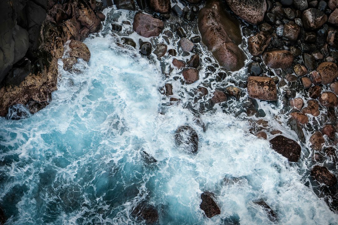
The stretch of ocean in front of the House of Refuge is worth a long look even if you skip the museum. The nearshore reef line that doomed so many ships is plainly visible on any day with surf, whitewater stacking up along the bar while the water beyond it stays navy and calm.
North Through the Dunes
Past the House of Refuge, the road reclaims the island’s rhythm: beach access lots, surfers checking the sandbar, condo towers giving way again to wild shoreline. This middle stretch of Hutchinson Island is where the drive earns its scenic credentials — on one side the Atlantic, flat and endless, and on the other the mangrove-edged flats of the Indian River Lagoon, the most biologically diverse estuary in North America.
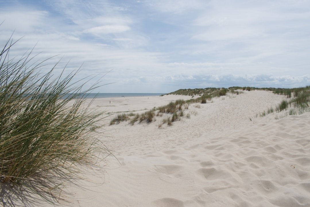
The pull-offs come every few hundred yards, and none of them charge much or anything at all. Pick one, any one. The beach widens as you head north, the sand softens, and by late morning the only sounds are wind and surf. Set up a lightweight beach chair in the shade line, stake a beach umbrella with a proper sand anchor so the afternoon sea breeze doesn’t relocate it to Vero Beach, and let a couple of hours disappear. This is not an island that rewards schedules.
Jensen Beach, the Town Pineapples Built
At the island’s northern end, the Jensen Beach Bridge carries you west across the lagoon and into a mainland town with one of Florida’s most quietly improbable histories. In 1881, a Danish immigrant named John Laurence Jensen planted a pineapple plantation in the sandy scrub here. The crop thrived, neighbors followed suit, and by the time the Florida East Coast Railway pushed through in 1894, plantations stretched from Sebastian all the way down to Hobe Sound. Within a year, Jensen Beach was shipping more than a million boxes of pineapples annually and calling itself — with a straight face — the Pineapple Capital of the World.
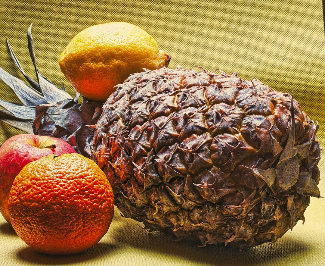
The empire collapsed almost as fast as it rose. Devastating freezes, then disease, then cheap pineapples from Cuba and Central America undercut the industry, and by the 1920s the fields were being sold off for real estate. But the town never forgot its claim to fame. Downtown Jensen Beach’s Pineapple District still leans into the heritage — murals, pineapple-shaped statuary, restaurants that put the fruit on pizza whether you ask or not — and the vibe is exactly what you want at the end of a beach day: unpretentious, walkable, and hungry. Pick up something Jensen Beach-themed if you want the souvenir without the souvenir-shop markup.
The pineapple boom is also a good reminder that this whole coast was agricultural long before it was touristic. If that history hooks you, the region still rewards fruit-stand tourism — our piece on loading up the trunk in Florida citrus country maps out a fine follow-on drive.
How to Drive It Without Rushing It
The loop works in any season, but a few timing notes make it better. Winter and spring bring the clearest water and the biggest fishing crowds; summer means turtle nests on the beach and afternoon thunderstorms, so do the outside half early; fall is the locals’ secret — warm water, thin crowds, and the light turning golden by five. Weekday mornings are quietest on the causeways.
Pack like you mean to stay. A collapsible soft cooler handles the drinks and whatever you pick up in Jensen Beach, and it flattens behind a seat when empty. If you’re the type who documents a good drive — and this one photographs well, from the bridge decks to the dune lines — the whole route was famously easy to capture on a modern smartphone; something like the Google Pixel 7 Pro used to film this stretch of coast still holds its own for stabilized driving and beach footage.
And when the loop ends where it began, back across the river into Stuart with salt in the car and sand in your shoes, the obvious temptation is to keep going. Give in to it: head south over the bridge for the Jupiter Island drive past some of America’s wealthiest addresses, or continue north from Fort Pierce along the A1A detour where Florida slows down. The Treasure Coast doesn’t really have a wrong direction — just a choice between fish stories, shipwrecks, and pineapples.