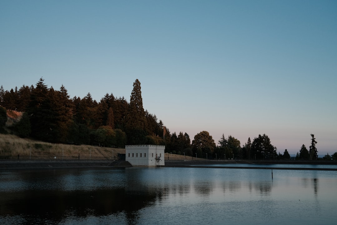
The first time I crested the hill into the Wallowa Valley, my photographer grabbed my arm before I’d even stopped the truck. Below us: a ribbon of river, a lake the color of glacial milk, and a wall of nine-thousand-foot peaks catching the last of the light. We had driven six hours from Portland and hadn’t seen a single tour bus, lift-served ski village, or even a gas station for the last ninety minutes. “This is Oregon?” she asked. This is Oregon. Almost nobody knows it.
The Wallowa Mountains — locals call them the Oregon Alps, and the nickname undersells them — sit in the state’s forgotten northeast corner, closer to Idaho than to anything resembling a city. The range anchors the Eagle Cap Wilderness, at roughly 360,000 acres the largest protected wildland in Oregon, and it holds summits that would headline a national park anywhere else. Instead, the Wallowas remain one of the least-visited mountain regions in the West, a place where September still feels like a private showing.
My team and I have now made three trips out there, most recently last fall, and I’ve become the person who won’t shut up about it. Here’s the case for going in September — and how to actually pull it off.
Six Hours From Anywhere, On Purpose
Geography is the Wallowas’ bouncer. Joseph, the region’s base camp, sits at the north end of Wallowa Lake at roughly 4,000 feet — one of those high-elevation towns where summer arrives late and leaves early. You’re six hours from Portland, five from Boise, and two from the small airport at Lewiston, Idaho. Nothing about that drive is accidental. Every mile of distance filters out another busload of casual traffic, and what’s left is a valley that still belongs to ranchers, elk, and people who planned ahead.
September is the sweet spot for a simple reason: the calendar turns without the crowds turning with it. Summer vacationers are home, the mosquitoes are gone, trailhead parking is a non-event, and the aspens and cottonwoods start flickering gold at the higher drainages. Daytime temps in the valley sit in the seventies while the peaks collect the season’s first dusting of snow — which, for photography purposes, is free set dressing. Pack the truck like you mean it: I load a hard cooler such as the YETI Roadie 24 with groceries in La Grande, because good produce gets scarce in the last hour of the drive and camp snacks shouldn’t depend on a convenience store.
Joseph, the Town That Bet on Bronze
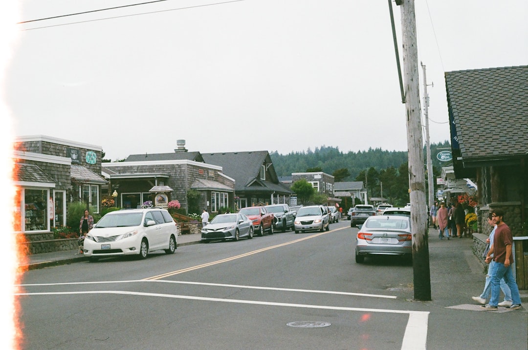
Every mountain town has a gimmick. Joseph’s is bronze. In the 1980s, when the timber economy wobbled, this town of barely a thousand people reinvented itself around fine-art casting, and today Main Street reads like a sculpture garden with a saloon problem — life-sized figures, wildlife, and abstract work line the sidewalks between cafés and galleries. Valley Bronze, the foundry that started it all, has cast work for installations across the country, and the Josephy Center for Arts and Culture explains how a timber town talked its way into the art world.
Plan at least one full day here that isn’t a trail day. Wander the galleries, then eat accordingly: Vali’s serves second-generation Hungarian comfort food that has fueled more Wallowa trips than any energy bar, and Terminal Gravity Brewing over in Enterprise pours the IPA that half the fire crews in the county drink by reputation. My editor calls Joseph “the town that punches four weight classes up.” She’s not wrong.
There’s history here that predates the bronze by a few centuries, and it deserves your attention. This valley is Nez Perce homeland — the grave of Old Chief Joseph sits at the north end of Wallowa Lake under a canopy of trees, and it’s one of the most quietly moving stops in Oregon. Visit it the way you’d visit a church, because for the descendants of the families who were driven out of this valley in 1877, that’s exactly what it is.
The Gondola That Earns Its View
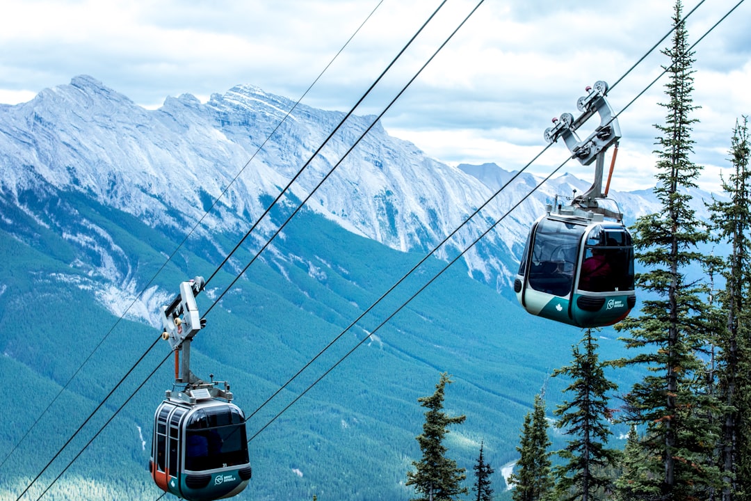
Not everyone who visits the Wallowas can spend a day at 8,000 feet, and the region’s signature attraction solves that elegantly. The Wallowa Lake Tramway, running from the south end of the lake, hauls you nearly 4,000 vertical feet up Mount Howard in about a quarter hour — one of the steepest gondola rides on the continent. At the top, at 8,150 feet, the whole story reveals itself: the turquoise thread of the lake, the moraines that cradle it like cupped hands, and the ranked peaks of the Eagle Cap marching to every horizon.
The summit can run thirty degrees colder than the parking lot, even in September sunshine, so this is where I stuff a packable insulated layer — something like the lightweight packable puffer I keep in the truck year-round — before riding up in a T-shirt. There’s a short ridge walk from the top station, a summit shelter, and enough open granite that you’ll want your wits about you with kids. Check the operating calendar before you build a day around it; the tram runs daily through summer and shifts to limited days in late September before closing for the season.
Trailheads That Empty Out by Noon
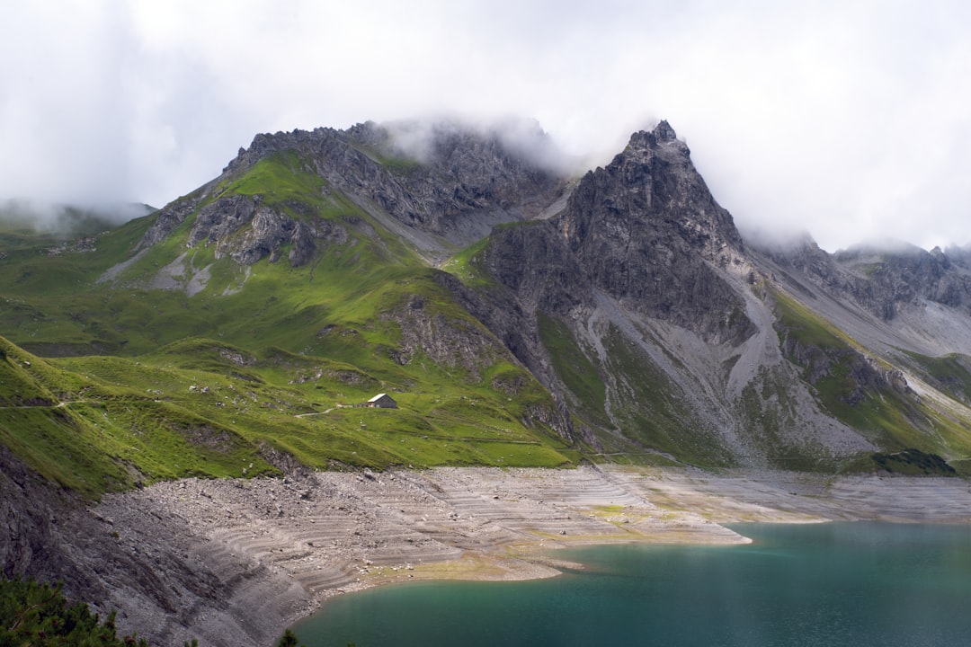
The Eagle Cap Wilderness is why hikers whisper about this range. More than fifty named alpine lakes, granite inherited from the same geological drama that built the Sierra, and a trail network that funnels nearly everyone up two drainages — which means the third and fourth drainages are yours. From the Two Pan trailhead at the road’s end above Joseph, the West Fork Wallowa River trail climbs gently through old burn and meadow toward the Lakes Basin, with Aneroid Lake as the classic overnight or ambitious day hike at roughly twelve miles round trip. Ice Lake is the lung-buster alternative, stacking thousands of feet of climbing into a glacier-carved bowl that stays cold enough to swim in for about ninety seconds. I timed it.
Logistics are refreshingly analog here. Overnight parties fill out a free self-issue permit at the trailhead — no lottery, no recreation.gov anxiety — and the busiest trailheads can fill on September weekends, so the early start matters. My day kit for the Wallowas looks like a 22-liter pack (the Osprey Talon 22 has survived three of these trips without complaint), trekking poles because the descents are longer than they look — the Cascade Mountain Tech poles have become my default — and, non-negotiably, bear spray on the hip belt. Black bears are common and generally polite, but polite is a habit, not a guarantee.
If you have a spare morning and sore legs, ride the Joseph Branch Railriders instead — recumbent rail-bikes you pedal along the old railroad grade between Joseph and Enterprise, at the pace of a porch conversation. It’s the only time in my life a train has waited for a deer to clear the tracks, which tells you most of what you need to know about the pace of life out here.
A Gorge That Out-Deeps the Grand Canyon
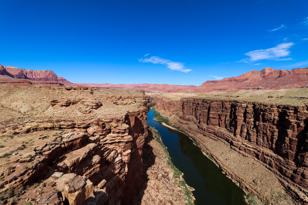
Here’s the fact that ends arguments: Hells Canyon, the gorge the Snake River carved along Oregon’s eastern flank, is the deepest river gorge in North America — nearly 8,000 feet from summit to river in places, deeper than the Grand Canyon. I’ve stood on both rims, and the Wallowas’ side wins for sheer vertical drama, even if the Grand Canyon wins on width and theatrics. Driving it is an all-day commitment: the roughly 200-mile Hells Canyon Scenic Byway loops out of Joseph through the mountains toward the gorge and back, and it belongs on any shortlist of great American mountain drives, a couple of pegs less white-knuckled than Colorado’s Million Dollar Highway but longer on solitude.
Two stops make the loop. The first is Imnaha, a twelve-building town at the end of the pavement where the century-old Imnaha Tavern serves family-style turkey dinners to people who drove two hours of curves for exactly this. The second is the Hat Point Road, which leaves Imnaha on an hour of graded gravel and climbs to a fire lookout perched directly over the gorge. Watch the weather and your fuel gauge, and you’ll be rewarded with the kind of view that makes passengers go quiet — the Snake a green thread almost a mile below, Idaho’s ridges stacked to the east like a basalt filing cabinet.
Where the Elk Outnumber the Cars
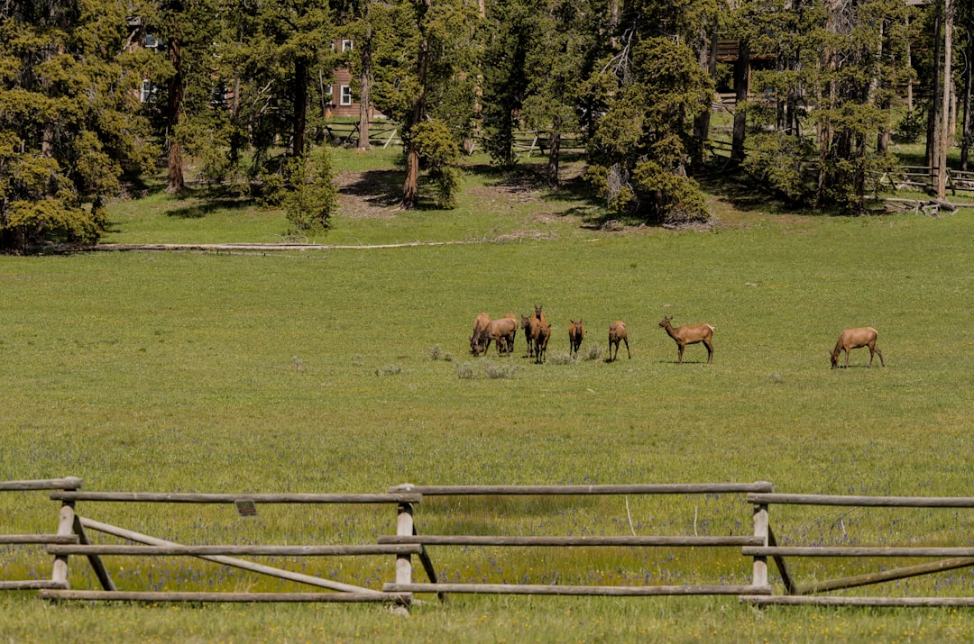
North of Joseph, the land lifts onto the Zumwalt Prairie, one of the largest intact bunchgrass prairies left on the continent, and in September it performs its best trick. Elk bugling season peaks this month, and at dawn and dusk the herds — sometimes hundreds strong — drift between the grass benches and timber stringers. There’s a specific hair-on-end quality to hearing a bull elk bugle across a dark valley while you stand alone on a gravel road. It sounds like something being invented.
Wildlife watching rewards patience over luck, and it rewards optics: I keep a set of Nikon Monarch M5 binoculars on the dashboard all week, because the difference between “some brown shapes” and “six raghorn bulls sparring in the lupine” is entirely glass. Mule deer and raptors are routine here, and the prairie’s conservation story — ranchers and the Nature Conservancy working together on the same landscape — is the rare environmental tale that ends better than it starts.
Where to Sleep: Moraines, Pines, and One Hard-to-Book Lodge
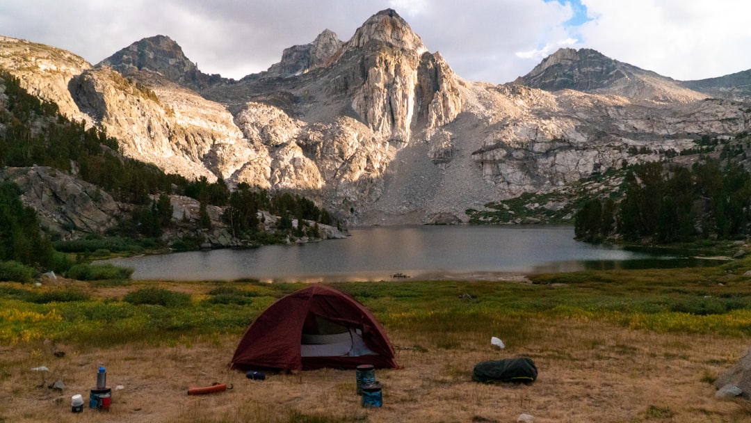
Wallowa Lake was gouged by glaciers and then dammed by its own debris, and the two lateral moraines that flank it are among the finest in the West — a mile-plus of walkable glacial landfill with the lake on one side and the river bottoms on the other. Wallowa Lake State Park runs the best-established campground, and it’s a legit state park that out-punches its national neighbors: hot showers, thick Ponderosa shade, and a beach that faces the high country like an amphitheater. September weekends still book, but midweek you’ll hear loons and nothing else. There are also private campgrounds, cabins, and the grand old Wallowa Lake Lodge, whose dining room is worth a reservation regardless of where you sleep.
For the self-contained crowd, the Wallowa-Whitman National Forest wraps the valley in dispersed camping — my field notes on finding good boondocking spots apply doubly out here, where a decent map and a full water tank buy you a week of silence. Two pieces of kit earn their keep on the dry side of the Cascades: a filter that turns creek water into dinner water — the Sawyer Squeeze still leads my pack — and a headlamp you can trust, because September dark arrives like a dropped curtain and this valley has essentially zero light pollution. The Black Diamond Spot 400-R rides in my door pocket for exactly this.
The September Packing Math
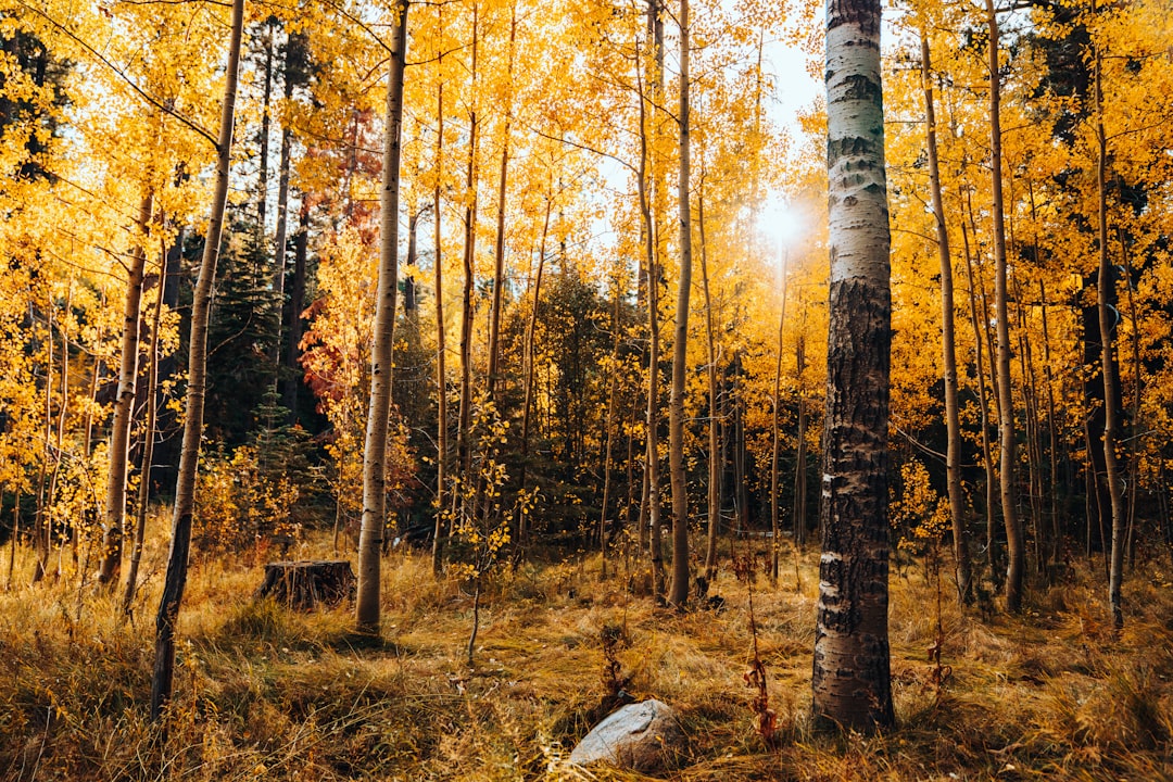
September in the Wallowas is two trips in one: a seventy-degree hiking trip and a freezing-campsite trip, occasionally within the same afternoon. The locals’ arithmetic is simple — dress for twenty degrees colder than the forecast says, and you’ll be right twice a day. My layering system for the week is unglamorous and reliable: a merino base layer (this merino set packs small enough to forget until it saves the evening), the puffer from the tram day, and a real shell, because the first Pacific fronts of autumn brush this range even when the valley stays dry. The Marmot PreCip Eco has done storm duty on three continents and never once come home wet inside.
Camp shoes, a book, and a willingness to eat dinner at six p.m. because the stars come out — that’s the rest of the kit. The Milky Way over the Eagle Cap is not a metaphor down there. It’s a working observatory.
Alpenfest and the Long Way Home
Time an exit right and you’ll catch Oregon’s Alpenfest, the valley’s late-September bow at Wallowa Lake — accordions, mountain-style schuhplattler dancing, bratwurst, and a community of ranchers and artists pretending they’re Bavarian for a weekend, which the region’s Swiss-German settlers started honestly decades ago. It is exactly as unselfconscious as it sounds, and it’s the best people-watching in the county.
Then take the long way home anyway — over the pass toward La Grande with the emptiest highway in Oregon ahead of you, aspens burning in every draw. The Wallowas won’t stay this quiet forever; the maps keep improving, the articles keep multiplying, and September has a way of getting around. But for now, this remains the rare American range that gives back everything you carry into it and takes nothing but gas money. Go before the word finishes getting out — and when you’re standing on Mount Howard with the whole blueprint of Oregon’s Alps beneath your boots, try to keep the secret longer than I did.
1 thought on “Six Hours From Anywhere: Why Oregon’s Wallowas Peak in September”