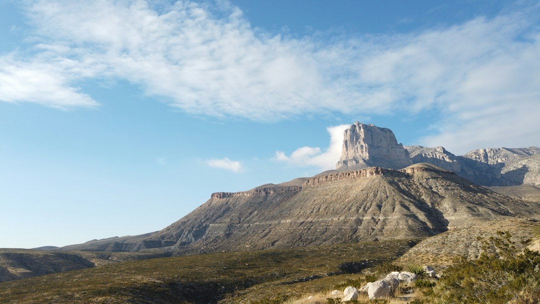
For a hundred miles along US 62/180, the country between Carlsbad and El Paso does a convincing impression of nowhere: creosote flats, gravel, the occasional Border Patrol truck kicking up dust. Then the highway tilts upward and an ancient limestone wall fills the windshield — El Capitan and the ramparts of the Guadalupe Mountains, rising straight out of the Chihuahuan Desert like the floor of a sea that drained a very long time ago. Most travelers photograph the cliff from the highway shoulder and drive on. In October, that’s a genuine mistake, because for roughly two weeks each year, that wall hides the least believable fall color in America: a desert canyon full of maple trees.
I’ve chased autumn across most of the continent, and I still squint at the photos my researcher pulled up when we were brainstorming this trip — red and orange bigtooth maples leaning over a spring-fed creek, canyon walls of gray limestone behind them. Vermont, sure. Wisconsin, obviously. West Texas? Nobody believes that one until they’ve stood in it, which is precisely why you should go stand in it.
A Reef That Became a Mountain
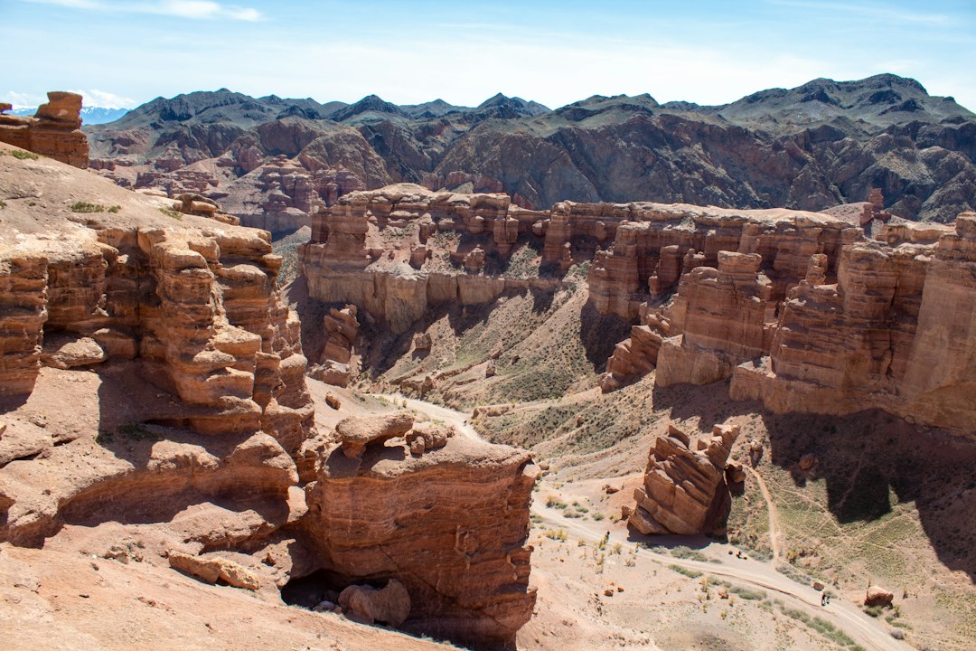
Start with the rock, because the rock explains everything else. The Guadalupes are the best-exposed remnant of the Capitan Reef, a 260-million-year-old Permian structure that once ringed a warm inland sea the way modern reefs ring lagoons. When the water withdrew and the basin dried, the reef stayed behind, and erosion spent eons carving it into an 8,751-foot summit — Guadalupe Peak, the highest point in Texas — and the sheer face of El Capitan that stagecoach drivers once used as a navigation landmark.
What surprises first-time visitors is how much of the park you experience as texture rather than trailhead. There’s no grand entrance station arch; you just realize the highway has been climbing through reef limestone for twenty minutes. Guadalupe Mountains is also one of the handful of national parks that doesn’t charge an entrance fee, which feels almost rebellious in a year of timed-entry reservations elsewhere. The trade for that simplicity is self-sufficiency: this is a park that assumes you brought water, layers, and a full tank of gas.
Why Maples Grow Here at All
The maples are the plot twist. Bigtooth maples — Acer grandidentatum, close cousins of the sugar maple — are relicts from a cooler, wetter chapter of the Southwest’s history. As the climate dried out thousands of years ago, the forests died back, and the survivors retreated into deep, shaded canyons where spring water and cold-air drainage mimic a climate the open desert forgot. McKittrick Canyon is the finest of those refuges: a thousand-foot trench on the range’s eastern face where maples, velvet ash, chinquapin oaks, and walnut trees line a creek that runs clear even in late autumn.
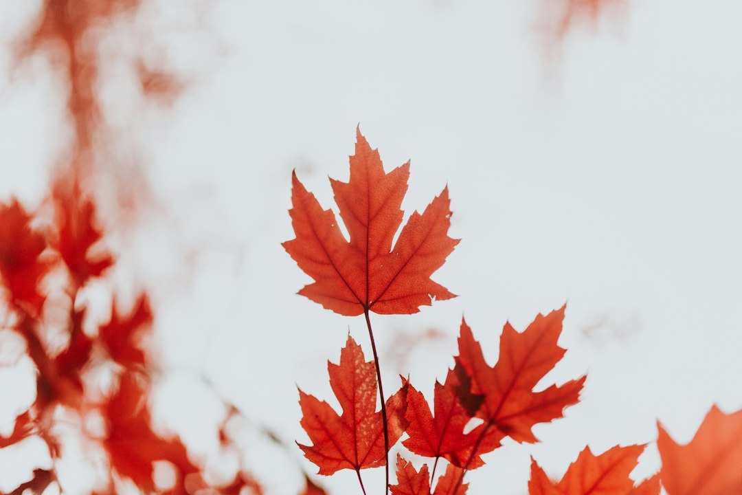
In late October the canyon does its impression of New England with a Texas accent — orange, apple-red, and burgundy leaves against gray stone and yucca-studded ridgelines a few hundred feet above the trail. It’s the only place I know where you can photograph a maple and a cactus in the same frame without cheating.
Timing the Two-Week Window
Here’s the part that demands humility: the show is short and the peak moves. The maples in McKittrick traditionally peak in the last ten days of October, sometimes holding into the first week of November, while Upper Dog Canyon on the park’s north side often starts turning a week or two earlier. Elevation runs the schedule, the same way it stacks the aspen ladder in Colorado — and it’s why my crew keeps a color log every fall, the same ritual the larch hunters I know apply to Washington’s golden larches. Short, movable seasons reward people who track them.
Wind is the villain of this story. The Guadalupes are famous for it, and a single 50-mile-per-hour gust front can strip the prettiest canyon in Texas down to bare branches in an afternoon. Plan for weekdays if you can — peak weekends fill the McKittrick parking lot by mid-morning — and check the park’s posted conditions and social channels, where rangers report the turn the way ski areas report snowfall. Then gamble on the calendar and go. The canyon is day-use only, gated open around 8 a.m. and locked well before dark, so verify current hours before you plan a sunset exit. Timing a canyon like this carries the same urgency as catching the Buffalo River’s second fall — arrive a week late and you’ll find a beautiful place that’s already moved on.
Walking McKittrick Canyon
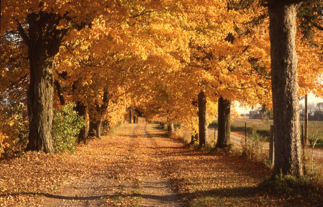
The walk itself is the easiest bonus in all of this. From the contact station at the canyon mouth, the trail climbs almost imperceptibly along the creek — 4.6 miles round trip to Pratt Cabin, a stone-and-timber lodge built in the 1930s by Wallace Pratt, the petroleum geologist who loved this canyon so deeply he called it “the most beautiful spot in Texas” and later donated the land that became the park. Geologists do not hand out compliments like that casually.
Around every bend the walls close in, the maples thicken, and the desert keeps peeking over the rim as if checking that the forest knows it isn’t supposed to be here. Past Pratt Cabin, continue up-canyon to the Grotto’s shaded picnic tables and, if your legs are game, all the way to the Notch, where the canyon floor tilts and the high country takes over. I carried a 30-liter daypack with layers, lunch, and three liters of water and wanted for nothing. Two rules to respect: no pets are allowed in the canyon at all, and the gate hours are enforced, not suggested. This is also peak season for the rest of Far West Texas — the same October switch that makes Big Bend finally hospitable — so book rooms early if you’re combining parks.
Peaks, Halls, and White Dunes
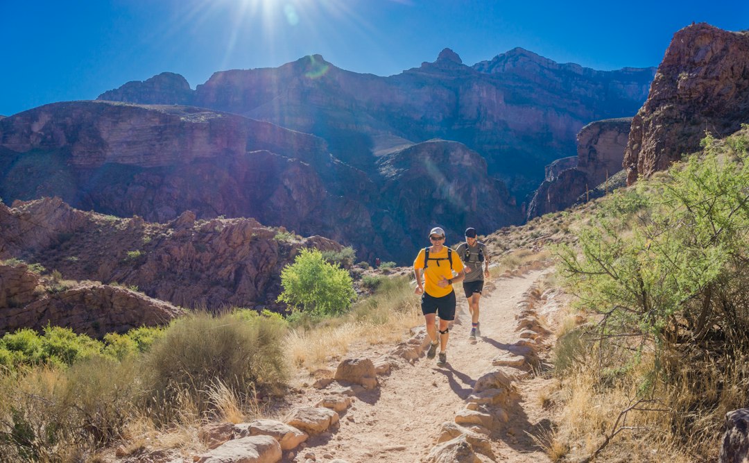
If the maples are the headline, the rest of the park is a deep bench. The Guadalupe Peak Trail runs 8.4 miles with about 3,000 feet of gain to the roof of Texas — expect pine, juniper, and a staggering view of the desert rather than fall color, which stays down in the canyons. My knees were grateful for collapsible trekking poles on the descent, which is longer and rockier than the grade suggests. Closer to Pine Springs, the Devil’s Hall Trail squeezes 4.2 miles up a rocky wash to a natural slot called the Hall, reached by the handmade Hiker’s Staircase — thirty-ish stone steps that photographers monopolize on fall mornings.
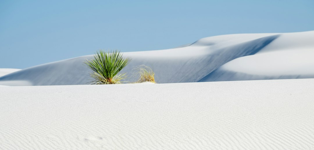
Wildlife watchers should bring patience and compact binoculars: mule deer, javelina, and golden eagles are regulars, and the park’s mountain lions mostly decline to be seen. Then there’s the strangest corner of all — the Salt Basin Dunes on the west side near Dell City, a ribbon of white gypsum dunes shimmering against the mountains, usually visited by nobody. It’s a thirty-minute drive on a good dirt road from the highway, and in October light it looks like a mirage that held still long enough for you to walk on it.
Camping Under a Sky That Shows Off
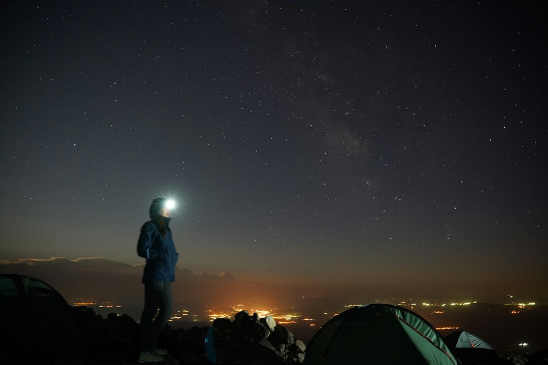
Pine Springs campground sits at about 5,800 feet, wedged between the escarpment and the highway, and it has exactly one amenity problem: wind. Fronts funnel through the gap and have flattened more tents than any campground this side of the Badlands, so stake like you mean it and orient the low end into the expected gusts. There’s water at the faucets, but no showers and no hookups, and October nights drop into the 30s and 40s fast — a 20-degree sleeping bag is the difference between sleeping and shivering. Keep a rechargeable headlamp by the tent door; the walk to the restroom crosses open ground, and the park’s Gold-tier dark skies mean you will absolutely stop mid-stride to stare upward.
If the forecast shows one of those demolition-wind nights, my team’s fallback is a motel in Carlsbad, about 55 minutes east, or Van Horn, about an hour south. Both are functional rather than charming, and both beat re-pitching a tent at 2 a.m. in a gale.
What I Pack for Forty-Degree Swings
October here is two climates pretending to be one week. Days at the visitor center can touch the 70s while the peak trail feels like mid-November, so the entire strategy is layers you can shed and stuff. My kit, tested over several desert autumns: a lightweight merino base layer that doesn’t hold sweat, a packable down jacket for morning starts, and a windbreaking shell that earns its keep the moment the canyon narrows and the gusts arrive. The shell matters more than the insulation — windchill, not temperature, is what empties this park’s trails in an afternoon.
The desert air is dry enough that you’ll drink more than you expect without ever feeling thirsty, so I drop electrolyte tablets in the bottle and set a timer on my watch. And because canyon mornings are cold enough to make you skip coffee entirely, a 32-ounce thermos filled at dawn is the single most morale-improving object in the vehicle. Leave it in the car for the drive up the canyon road and thank yourself at the trailhead.

Before You Drive Out
Logistics, briefly, because they matter more here than in most parks. Carry more water than feels reasonable — a gallon per person per trail day in warm weather is the park’s own guidance. Fill your tank in Carlsbad or Van Horn; there is no fuel at Pine Springs. Cell service is effectively nonexistent across the park, which is exactly the situation that finally pushed me to sort out my satellite messenger question before last fall’s trips, and I wouldn’t hike the Guadalupes without one now. Check the park’s current conditions page for gate hours, trail closures, and the rangers’ color reports right before you leave.
And then just go, with reasonable expectations and unreasonable hope. The maples don’t run on a schedule, the wind doesn’t file travel plans, and that fragility is the entire appeal. Any canyon can be beautiful for a month. This one is beautiful for about two weeks, in a desert, at the top of Texas — and standing under those red leaves while a cactus watches from the rim is one of the finest small astonishments American travel has left.
1 thought on “Texas Has a Maple Season, and It’s Hiding in a Desert Canyon”