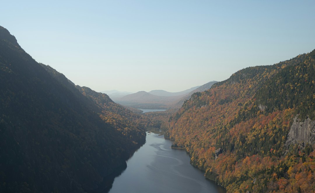
The clock in the rental read 5:41 a.m. when I pulled out of Lincoln, New Hampshire, with a thermos hissing in the cupholder and my headlights the only ones pointed east on Route 112. My photographer was still assembling her tripod in the passenger seat, and neither of us said a word, because there was nothing to say that the road wasn’t about to say better. Thirty-four and a half miles of it, no gas stations, no towns, no cell bars to speak of — just the White Mountains wrapped in the first cold light of a September morning. If you’ve never done the Kancamagus Highway at dawn, you’ve done a different road entirely.
A Two-Week Window, and One Road That Takes It Seriously
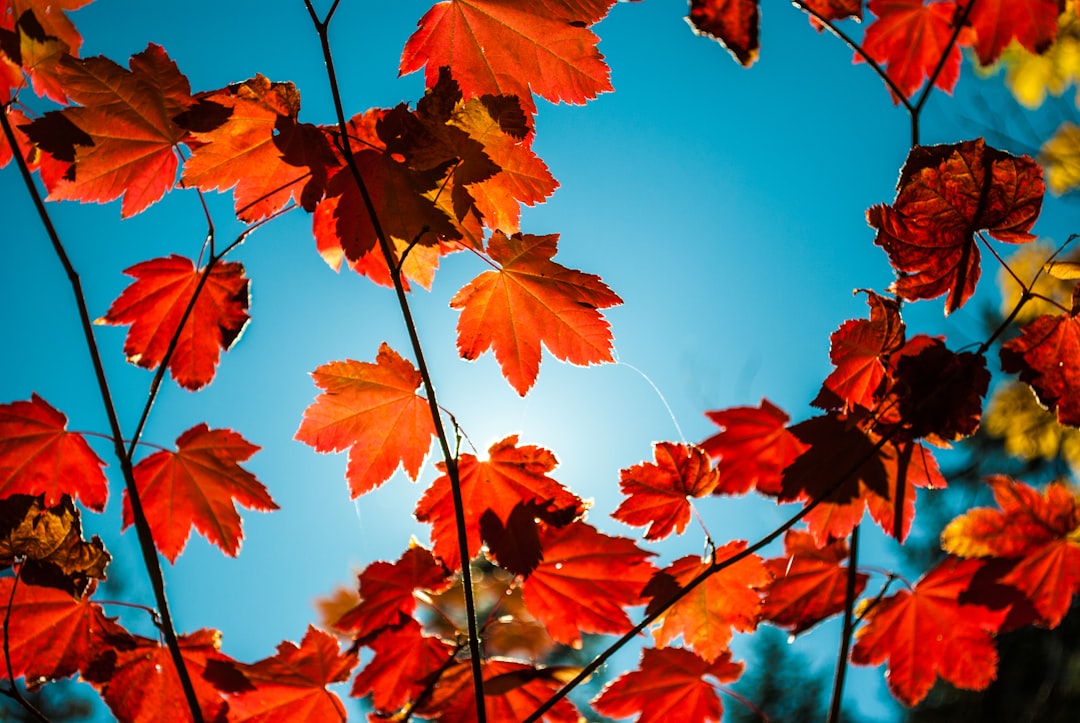
Here’s the arithmetic that runs every foliage decision in the White Mountains: color starts creeping into the highest elevations around the middle of September, the hillsides catch fire through the last week of the month, and peak usually lands somewhere in the first two weeks of October. After that, a good wind and two rainy days can strip the whole performance in a weekend. It is a two-week business, this show, and the 2026 foliage forecast we put together last month holds up: the Kanc sits in the sweet spot earlier than most people book for.
I chased the same math across Maine earlier this season while mapping Acadia’s two-week color clock, and the lesson transferred: elevation runs ahead of the calendar. The Kanc’s high middle section — the climb over the pass — turns first, which means you can catch legitimate color in late September while the Conway end is still holding green. That stretchiness is exactly why this road rewards people who arrive before October’s weekend traffic does.
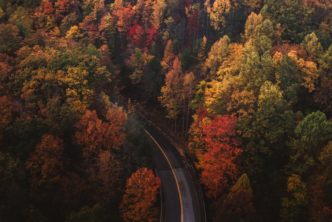
Because let’s be honest about the other side of it. On the October holiday weekend, this famous byway stops being a drive and starts being a line. Photographers who know better treat that weekend as a lost cause and plan around it.
Dawn Is a Strategy, Not a Personality Flaw
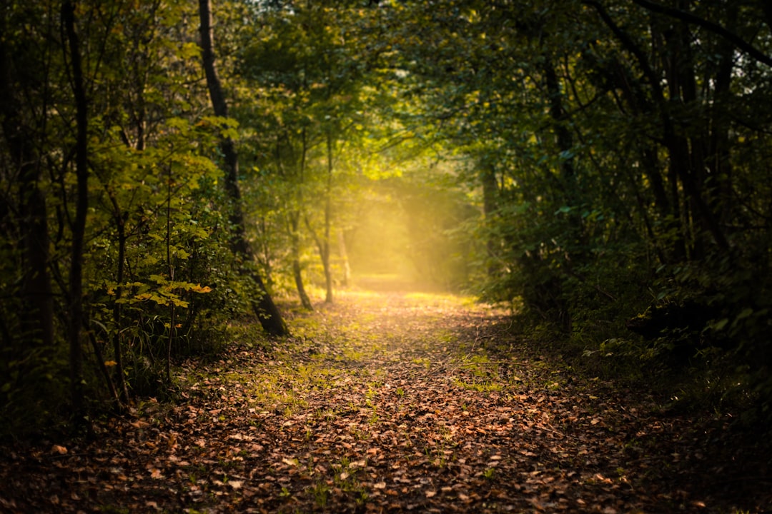
I am not a naturally early person, which is precisely why I defend the 5:30 departure with religious fervor. On the Kanc it’s the difference between an empty pullout and a full parking lot, between mist lifting off the Swift River and a queue at the overlook rail. By 10 a.m. on a good foliage Saturday, the roadside looks like a stadium lot. By 6:30 a.m., it’s you, the fog, and whatever moose had the same idea.
The practical side: you’ll be fumbling with zippers and lens caps in the dark, and the trailhead lots aren’t lit. A rechargeable headlamp lives in my door pocket from September through November for exactly this reason. And the coffee question answers itself — I’ve logged enough dawn starts to know that a 16-ounce vacuum tumbler that actually holds heat for hours is non-negotiable equipment. The cheap ones quit by the second overlook. Mine was still steaming when the sun cleared the ridge.
West to East: Let the Road Descend Into the Color
You can drive the Kanc from either end, but I’ll argue for west to east, starting in Lincoln. You begin in the Pemigewasset valley’s soft bottomlands, climb through beech and birch to the 2,855-foot pass, then spend the back half of the drive descending as the color thickens around you. It feels like a story with a structure. Eastbound in the morning also keeps the sun at your back for photography instead of straight down your windshield.
The road carries the name of a 17th-century leader of the Penacook people — Kancamagus, “The Fearless One” — and there’s a fitting severity to the middle miles, where the forest closes in and the services disappear entirely. No gas. No storefronts. Cell service is a rumor. Fill the tank in Lincoln, download your maps before you leave wifi, and settle into the fact that for the next hour you belong to the road’s schedule, not yours.
The Pullouts That Earn Their Parking
Not every labeled stop deserves your time, but four of them absolutely do, and the whole drive is 90 minutes without stops — budget half a day and do it properly.
Sabbaday Falls
The most beloved stop on the highway, and the crowds are right about this one. A short, wide gravel path — under half a mile each way, gentle enough that my crew’s least athletic member stopped complaining — leads to a waterfall that pours through a rock chute into a tight gorge. Boardwalks put you right over the spray. Arrive before 9 a.m. in peak season or you’ll be photographing the backs of thirty jackets.
Lower Falls and Rocky Gorge
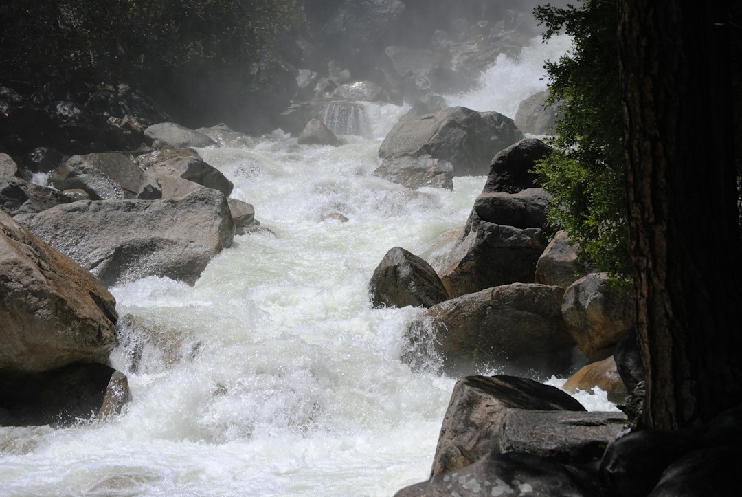
The Swift River does two very different tricks within a few miles of each other. At Lower Falls, wide granite shelves turn the river into a staircase of swimming holes and picnic perches — summer crowds swim here; in October it’s all about the gold reflections in the calm margins. At Rocky Gorge, the same river squeezes into a narrow, violent crack that hums like traffic. This is where I parked longest on the last trip, just watching water do something it has no business doing.
One practical note: the developed sites along the byway carry a $5 day-use recreation fee, payable at self-service stations, and an America the Beautiful pass covers it. Keep the receipt on your dash — the rangers do check in October.
The Albany Covered Bridge
Built in 1858, sitting just off the highway down a gravel spur, this is the Kanc’s most photogenic man-made object — a weathered wooden bridge over the Swift with a swimming hole below it. The light in mid-morning hits it beautifully, and it’s one of the few stops that’s genuinely better with a few people in frame for scale.
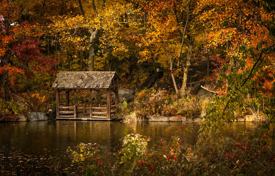
Pemigewasset Overlook
The west-facing overlook near the pass is the sunset slot, and by late afternoon most of the day-trippers have melted away. If your schedule forces a choice between dawn and dusk, my photographer votes dusk here without hesitation — the valley fills with shadow while the far ridgelines hold the last orange light for an improbably long time.
How to Outsmart the Foliage Buses
The crowd pattern on the Kanc is predictable enough to beat. Weekends in the first half of October are the crush; midweek days in late September deliver 70 percent of the color for 20 percent of the people. If you can only swing a weekend, flip the schedule — be at your first pullout by sunrise, do the popular stops before 9 a.m., then spend the busy hours on a trail or a long lunch in Conway before rejoining the road in the late-afternoon light when day-trippers start fleeing toward dinner.
Two more force multipliers. First, a pair of 12×25 compacts — small binoculars, in other words — turn every overlook into a scouting session. Half the fun of this road is reading distant hillsides for the next week’s color, and naked eyes can’t do that math. Second, if your travel party contains someone who refuses to fight traffic at all, the region’s foliage trains make a civilized surrender option while you run the road solo.
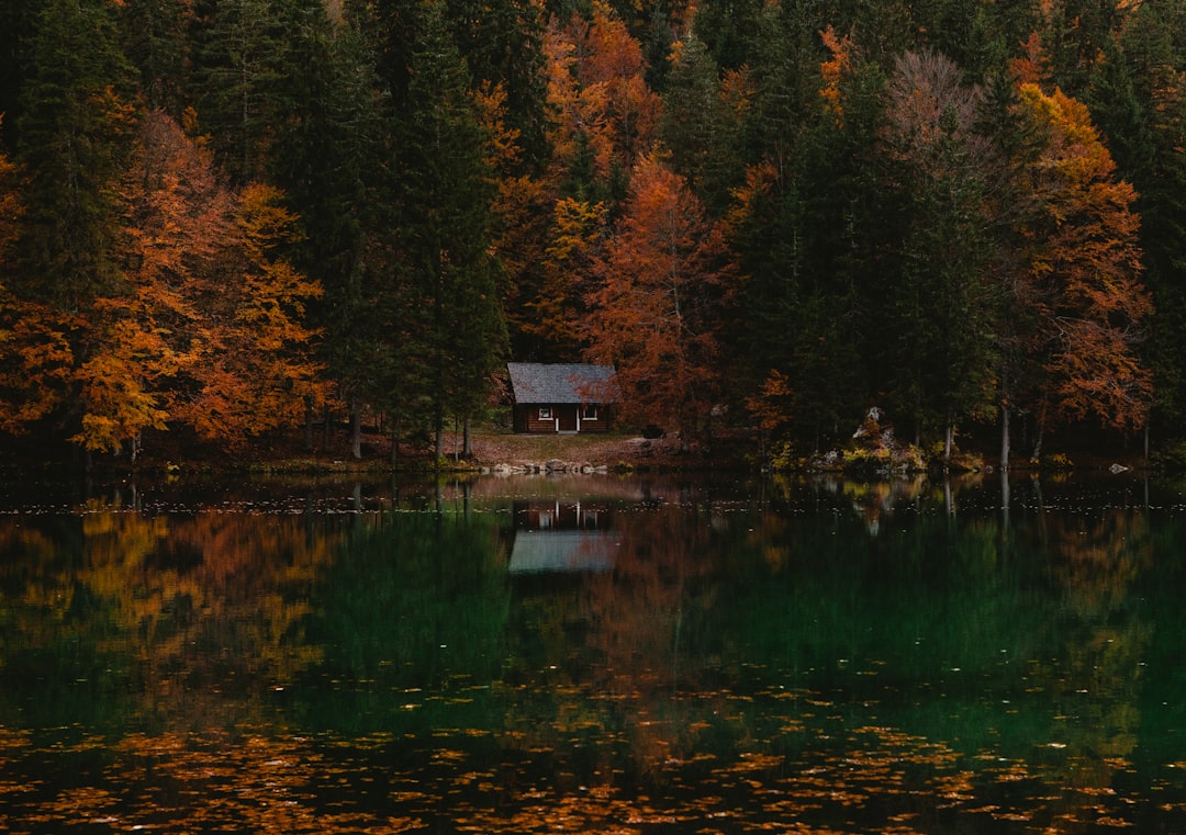
Lodging matters as much as timing. Staying in Lincoln puts you at the empty western trailheads before the Conway traffic arrives; a cabin with a view does half the vacation’s work before you’ve laced your boots. Book it in summer — foliage season fills the valley months out.
When Your Legs Want a Piece of It
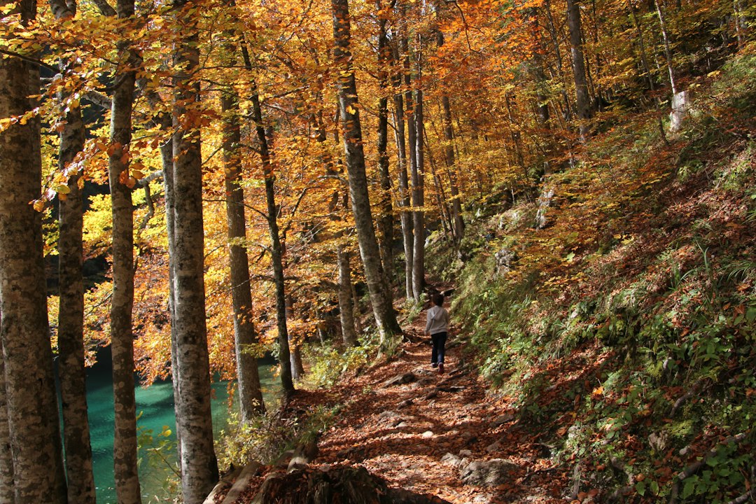
Driving is the headline act, but two walks off the highway earn honorable mention. The Lincoln Woods Trail leaves from a big lot on the western end and runs flat along an old railroad bed, crossing the East Branch of the Pemigewasset on a suspension bridge that bounces in the most satisfying way — an easy leg-stretcher anyone can do in sneakers. The Boulder Loop Trail near the pass is the tougher option, roughly three miles with ridge views through the color canopy, and it’s where my trekking poles finally earned their trunk space last fall.
October trails have a way of looking shorter than they are. Wet leaves on granite are treacherously slick, and the temperature swings thirty degrees between trailhead and ridge. I keep merino crew socks in the glovebox now, and my only injury of last foliage season happened on a flat boardwalk in cotton.
The Trunk Kit That Earned Its Spot
After enough trips up Route 112, my kit has stopped being aspirational and started being specific. A 30-can soft cooler holds the day’s food so nobody talks me into leaving early for lunch — there is nowhere to eat on the byway itself, a fact people forget around noon. A waterproof-backed fleece blanket turns any granite shelf at Lower Falls into a picnic table. Overlooking dress warmly: a packable puffer stuffs into a daypack and has saved more than one sunrise vigil, because 28 degrees at the pass feels personal when you’re standing still for an hour. And somewhere around the first frozen-fingers morning of the season, I became a person who carries air-activated hand warmers by the handful. Hand them to a cold photographer and watch loyalty form instantly.
The Day Ends in Conway
Eastbound, the road lets you down gently into Conway, where cell service returns like a tide and the coffee is hot and unlimited. That’s the geometry of the day: leave Lincoln in the dark, spend the morning climbing through the color, spend the afternoon descending out of it, and let Conway hand you back to the regular world. My crew’s tradition is a late lunch and a rearview glance west toward the ridge we crossed at dawn — the one that will be burning even brighter next weekend, whether any of us are there to see it or not.
That’s the deal this road offers. Two weeks of color, one 34.5-mile stage, and no promise you’ll time it perfectly. Go early, go midweek if you can, and go with a full thermos. The Fearless One would have wanted it that way.
1 thought on “First Light on the Kanc: 34.5 Miles of Color Before the Buses Find It”