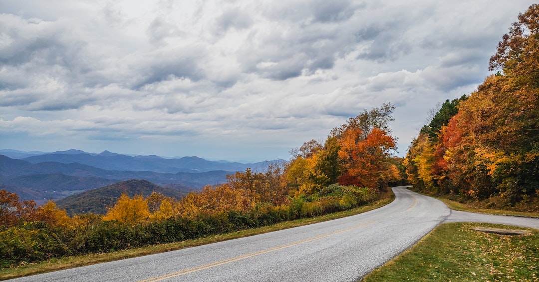
Every year, somewhere around late September, my phone starts buzzing. Friends, coworkers, distant acquaintances — they all want the same thing. “When’s peak?” “Where should I go?” “Is it worth the drive?” After three consecutive Octobers spent running the full length of the Blue Ridge Parkway with my team, I’ve stopped guessing. I have a system now. And since the window is maddeningly narrow — sometimes just ten days of pure magic — I’m laying out everything we’ve learned so you can stop scrolling through foliage maps and start driving.
The Blue Ridge Parkway stretches 469 miles from Shenandoah National Park in Virginia all the way down to Great Smoky Mountains National Park in North Carolina. Not all 469 miles ignite at once. Elevation, latitude, and rainfall all conspire to create a rolling wave of color that starts at the highest elevations in early October and cascades downhill through late October into early November. If you understand that wave, you can ride it.
Reading the 2026 Foliage Forecast Like a Pro
Here’s what nobody tells you about fall foliage prediction: the apps and maps are educated guesses, not gospel. My team and I cross-reference three sources every year — the Blue Ridge Parkway Foundation’s weekly reports, the Smoky Mountains fall foliage prediction map, and local ranger station social media accounts. The ranger stations are shockingly accurate because they’re standing in the forests every single day.
For 2026, the general pattern should hold true to historical norms. Colors begin turning at the highest elevations (above 5,000 feet) around October 1st. Mount Mitchell, Grandfather Mountain, and the Graveyard Fields area near Asheville typically hit peak between October 5th and 15th. Mid-elevations (3,000–5,000 feet) follow from October 12th through the 22nd. The lower elevations and valleys — including the Virginia section near Roanoke — finish strong from October 20th through early November.
But weather flips everything. An early frost accelerates color. A rainy September delays it. A windstorm strips the trees bare overnight. Build flexibility into your plans, and for the love of everything, book refundable accommodations.
The Virginia Section: Underrated and Wide Open
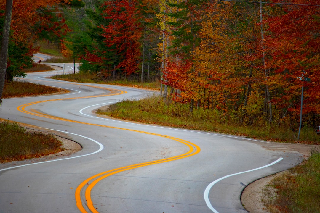
Most leaf peepers barrel past the northern 105 miles of the Parkway in their rush to reach North Carolina. That’s a mistake. The Virginia section — from Rockfish Gap (milepost 0) to the North Carolina border (milepost 216) — delivers some of the most underappreciated overlooks on the entire route, and the crowds are a fraction of what you’ll find further south.
My team always stops at Mabry Mill (milepost 176), an old wooden gristmill that looks like it was designed specifically for Instagram. On a crisp October morning when the maples are blazing red and reflecting off the millpond, you’d swear someone turned the saturation dial to maximum. We try to arrive before 9 AM because the parking lot fills fast by mid-morning.
The scenic byways connecting to the Parkway in Virginia are worth exploring too. The 30-mile drive along the ridge of Peaks of Otter (milepost 86) offers sharp elevation changes that mean you’ll pass through multiple color zones in a single afternoon. Pack a vacuum-insulated beverage bottle with something warm — once you’re above 3,500 feet, October mornings dip into the 30s.
Asheville and the Surrounding Glory
Asheville is ground zero for Blue Ridge fall color, and for good reason. Within a 45-minute drive of downtown, you can reach five major overlook areas, each with its own microclimate and color timeline. We’ve spent entire long weekends here without running out of new viewpoints.
The Craggy Gardens trail (milepost 364) is a personal favorite. It’s a moderate 0.8-mile hike to a bald summit where 360-degree views open up across a sea of color. The gnarled, wind-twisted trees at the top create this otherworldly silhouette against the autumn sky. Bring a solid pair of binoculars — on a clear day you can spot Mount Mitchell, the highest point east of the Mississippi.
South of Asheville, the Graveyard Fields area (milepost 419) offers something unexpected: waterfalls surrounded by autumn color. The lower falls are an easy half-mile walk, and the combination of cascading water against yellow and orange birch leaves is the kind of scene that makes you understand why people plan their entire year around this.
If you’re basing yourself in Asheville, our Asheville area guide covers year-round highlights, but October is when the city truly flexes. The downtown breweries pack their patios with fire pits, and every restaurant seems to have a seasonal pumpkin dish on special.
The Southern Section: Where the Colors Burn Longest
From Asheville southward to the Great Smoky Mountains (milepost 364 to 469), the Parkway reaches its dramatic crescendo. This section boasts the highest elevations, the tightest switchbacks, and — in my opinion — the most intensely saturated color you’ll find anywhere on the East Coast.
The Linn Cove Viaduct (milepost 304) is engineering poetry. This 1,243-foot curved bridge wraps around the flank of Grandfather Mountain, suspended on concrete pillars driven into the slope. Driving across it in mid-October feels like floating through a tunnel of fire. The color here peaks early — usually October 5th through 12th — because the elevation tops 4,000 feet.
Further south, the Pisgah National Forest section rewards anyone willing to get out of the car. We mapped out a three-stop waterfall tour last October that took us past Looking Glass Falls, Sliding Rock, and Moore Cove — all within a 15-mile stretch. The waterproof hiking boots earned their keep on the muddy trails after an afternoon rain. And that rain? It actually intensified the colors for the following day. Cloudy, post-rain light makes reds and oranges pop in ways that harsh sunlight can’t match.
Your Road Trip Gear Loadout
After three years of refining our packing list, here’s what actually matters for a foliage road trip. Not theory — tested, used, proven gear.
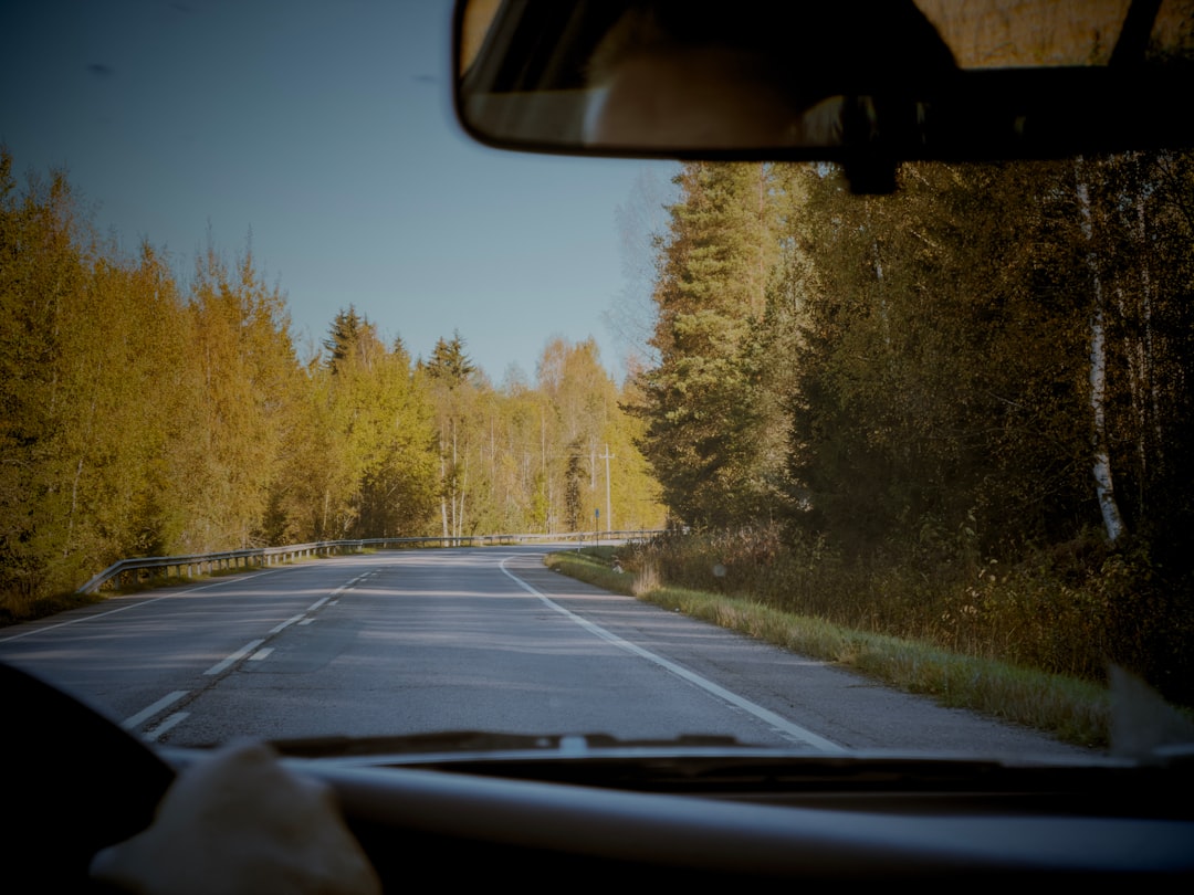
Navigation and documentation: Cell service drops out for long stretches on the Parkway. Download offline maps in Google Maps or Gaia GPS before you go. A military-grade phone mount is non-negotiable — the Parkway’s curves will send a cheap mount flying. For capturing the drive itself, we started running a 4K dual dash cam last fall, and the footage of tree-canopy tunnels in peak color is genuinely stunning. Better than any stock footage I’ve ever licensed.
Comfort and sustenance: A good collapsible soft cooler fits behind a car seat and keeps sandwiches and drinks cold for a full day of overlook-hopping. We load ours at a grocery store in Asheville or Roanoke — mountain town restaurants are great, but when you’re chasing light at 6 AM, you need provisions ready. The car snack organizer with cup holders sounds excessive until you’re six hours deep into a driving day and someone’s granola bar has been crushed into the seat crevices.
A compact travel blanket is the unsung hero of fall road trips. You’ll use it at overlooks, on picnic benches, and draped over your lap during early-mountain photography sessions. It packs into nothing and costs less than a tank of gas.
Timing Your Days for Maximum Color
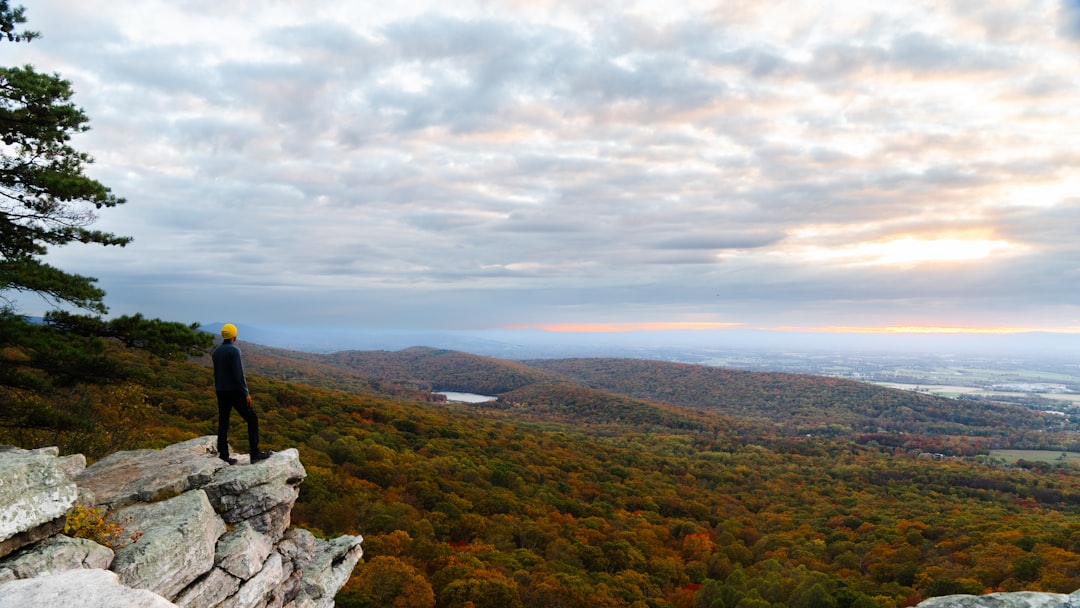
Photographers know that the hour after sunrise and the hour before sunset produce the richest color. On the Parkway, I’d extend that: overcast days are secretly the best. The clouds act like a giant softbox, eliminating harsh shadows and making reds, oranges, and yellows glow with an almost neon intensity.
My team’s typical foliage day looks like this: we’re on the road by 6:30 AM, positioned at a east-facing overlook for sunrise light. Mid-morning we’ll hike a trail while the light is still soft. Lunch is a picnic at a lower-elevation overlook where the colors are just starting to turn. Afternoons are for driving the curvy sections when the lowering sun creates dramatic shadows through the canopy. Sunset finds us at a west-facing overlook with the compact binoculars out, watching the colors shift as the light dies.
If you want a deeper dive into regional routes, the Colors of Fall Road Trip Guide covers 25 different New England and mid-Atlantic autumn tours — a useful companion if you’re extending your trip beyond the Parkway.
Where to Eat, Sleep, and Recharge
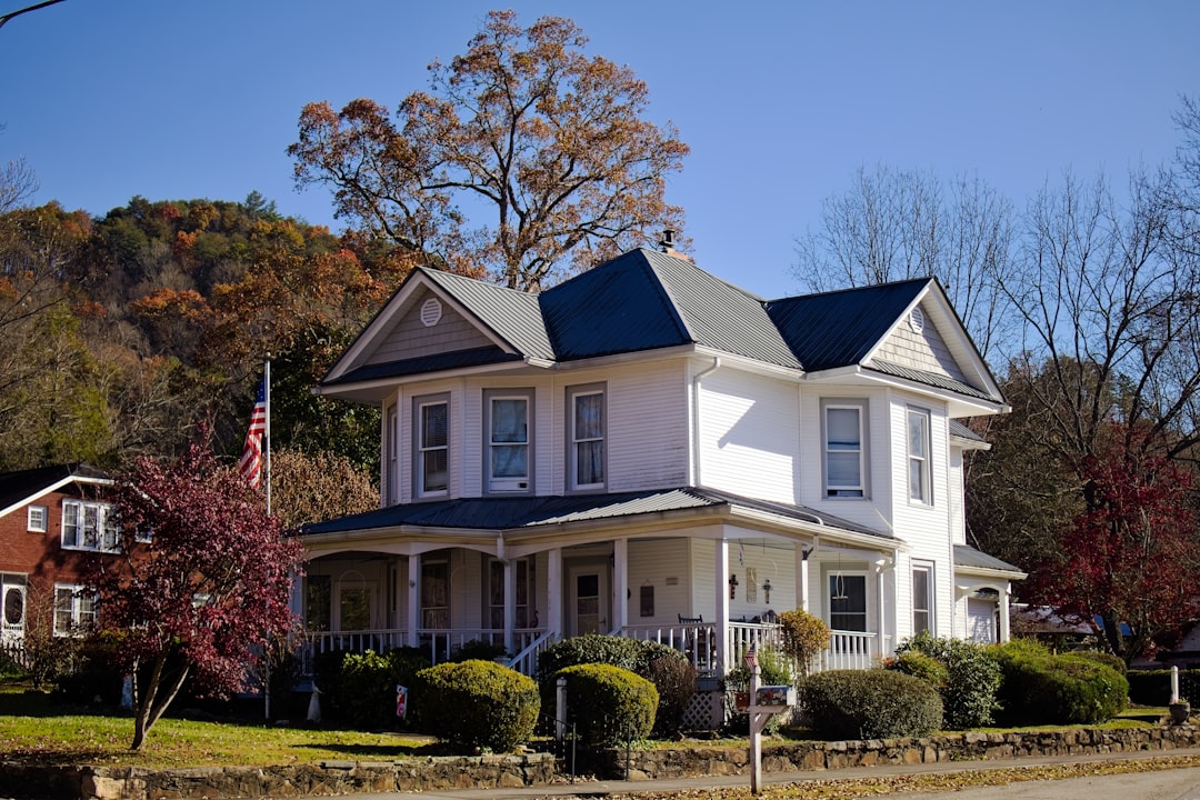
The towns along the Parkway are half the experience. Floyd, Virginia (milepost 165) has a tiny downtown with a surprisingly robust food scene — the local pizzeria makes their dough from wild-yeast starter they’ve been feeding for over a decade. Blowing Rock, North Carolina (near milepost 292) feels like a New England village transplanted into the South, with rocking-chair porches and a general store that sells fresh apple cider in October.
Asheville obviously has the deepest restaurant scene, but booking a hotel there during peak foliage requires planning three months ahead. If you’re reading this in July, you still have time. If it’s already September, consider basing yourself in Hendersonville, Brevard, or Black Mountain instead — they’re 20–40 minutes from the Parkway and often have availability when Asheville is sold out.
One cautionary note: the late August travel window we’ve written about before is a great time for a preview trip. You’ll catch early color at the highest elevations and the crowds are dramatically thinner. But peak color — the full-canopy, jaw-dropping, pull-over-every-five-minutes experience — happens in October. That’s when you need to be there.
Closures, Detours, and Reality Checks
Here’s what can go wrong: the Parkway closes. Sections shut down for maintenance, storm damage, or ice. In 2023, a landslide near Craggy Pinnacle closed a seven-mile stretch for weeks. The National Park Service posts real-time closure information on their website, but cell service being what it is, I recommend calling the Parkway visitor center the morning of your drive.
Speed limits on the Parkway are 45 mph, dropping to 25 mph in developed areas. It is not a fast road. A full end-to-end drive takes 10–12 hours without stops, and you will stop. Budget two to three days minimum for the experience. Rushing the Parkway is like speed-reading a novel — technically possible, entirely missing the point.
The Campfire Factor

If you have the time, camp at least one night. The Parkway campgrounds at Mount Pisgah (milepost 408) and Linville Falls (milepost 316) sit right on the ridge, and waking up to fog rolling through a valley full of color is a core memory. October nights dip into the 30s, so bring real sleeping bags, not summer ones.
Even if you’re not camping, find a fire ring at one of the picnic areas. There’s something about sitting beside a crackling fire on a crisp October evening, the day’s photos still warm on your camera, the smell of woodsmoke mixing with the sharp sweetness of fallen leaves — that’s the moment everyone’s chasing. Not the Instagram shot. Not the overlook. The feeling that you’re inside the season, not just looking at it.
The Bottom Line
The Blue Ridge Parkway in October is America’s best road trip. I’ll die on that hill (probably one near milepost 364). It’s free to drive, accessible to anyone with a car and a weekend, and for about three weeks each fall, it transforms into something that doesn’t seem real. The window is narrow, the crowds are real, and the weather will throw surprises at you. But if you time it right — if you read the forecasts, pack your gear, and give yourself enough hours on the road — you’ll understand why my phone buzzes every September.
Start planning now. The leaves wait for no one.
6 thoughts on “Blue Ridge Parkway Fall Foliage 2026: The Definitive Road Trip Guide”